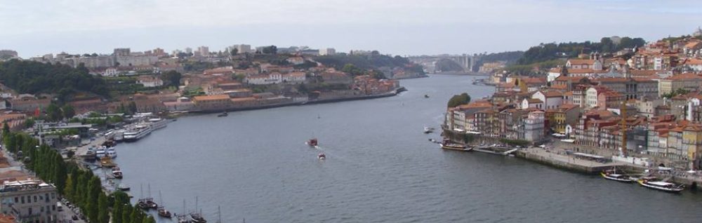
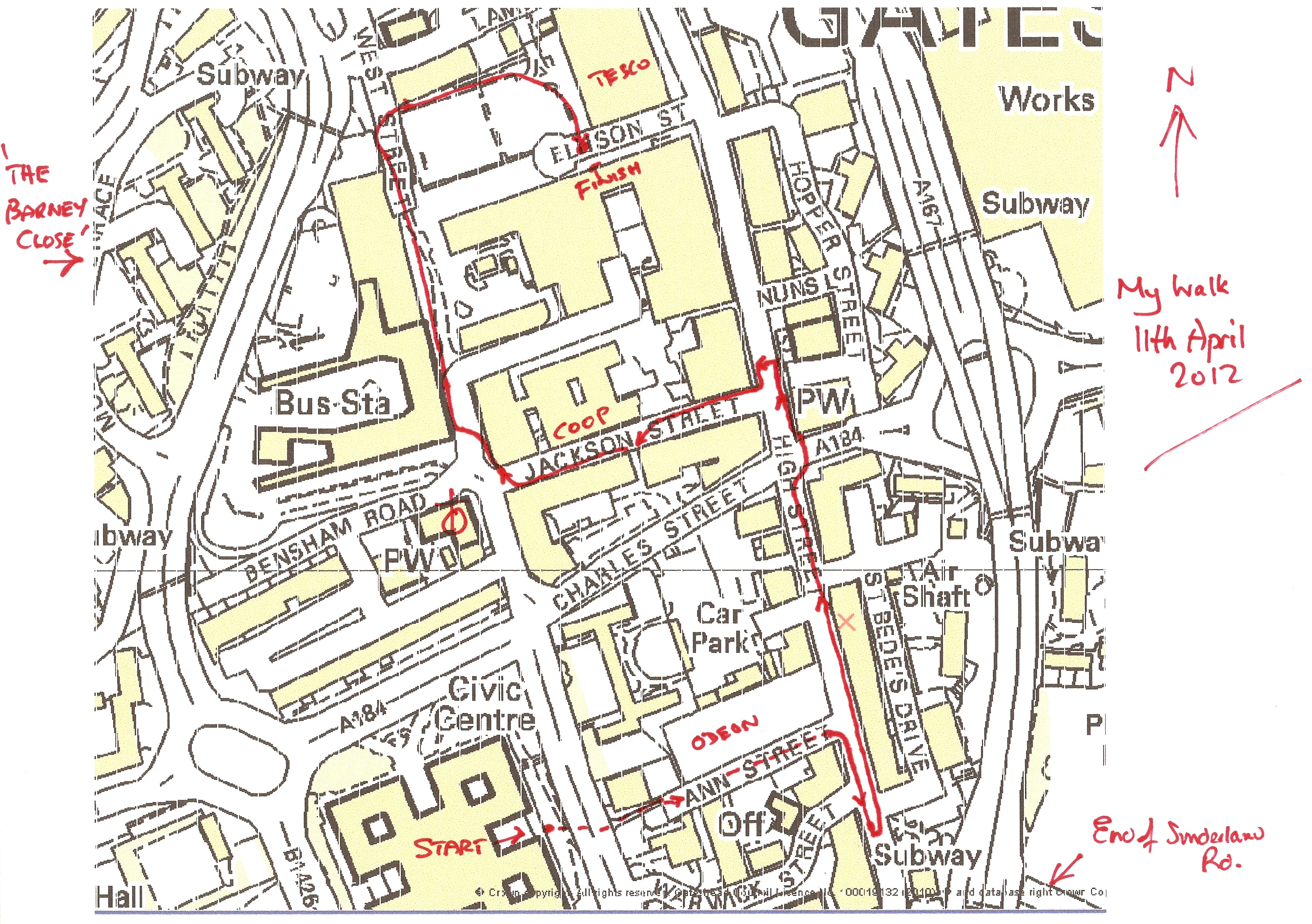
A walk in Gateshead in 2012.
The views are in the order of my route on the annotated map. Start is at bottom of the map.
Click on link to view photo, use Back Button <- to return here.
Start
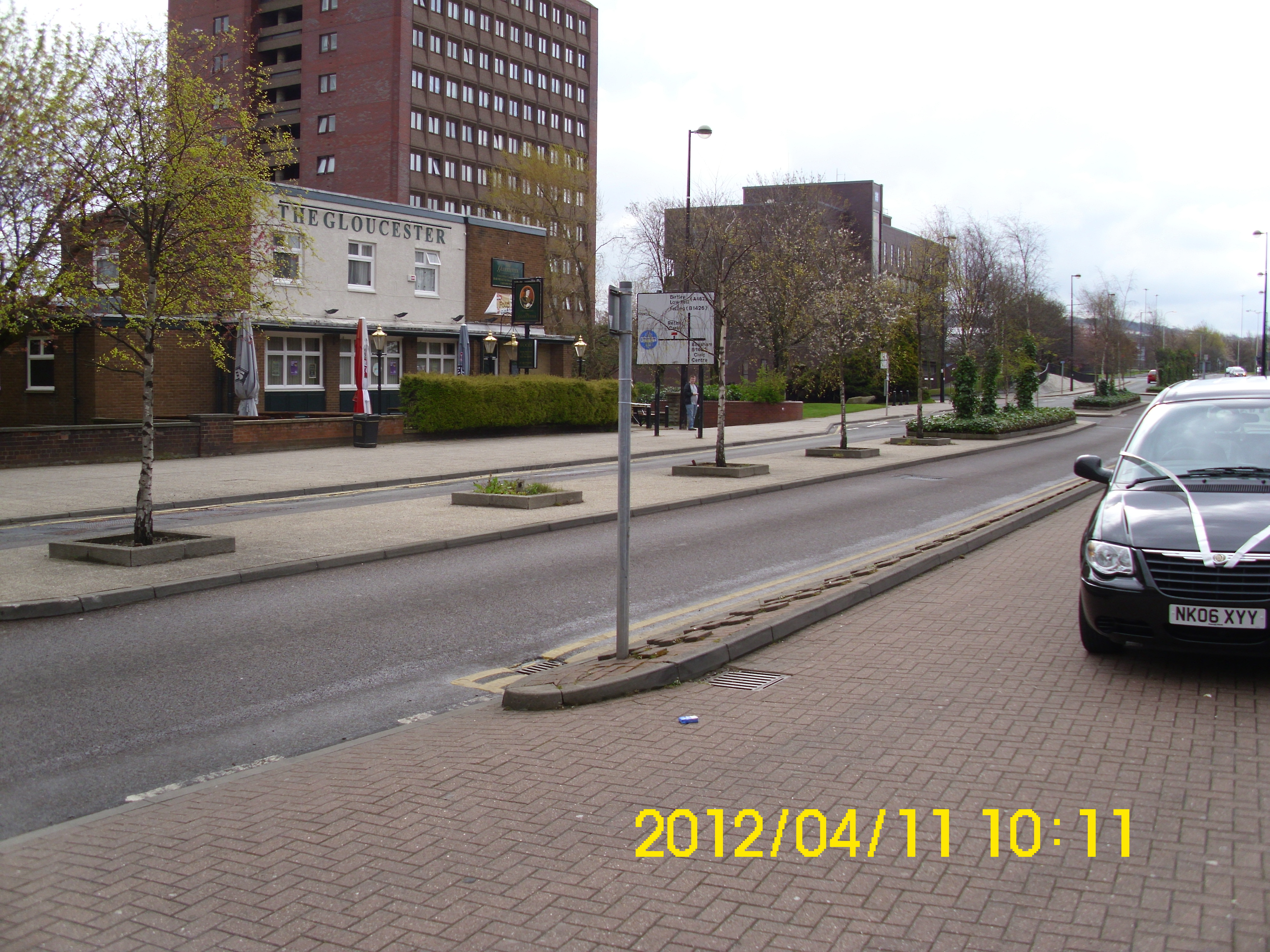
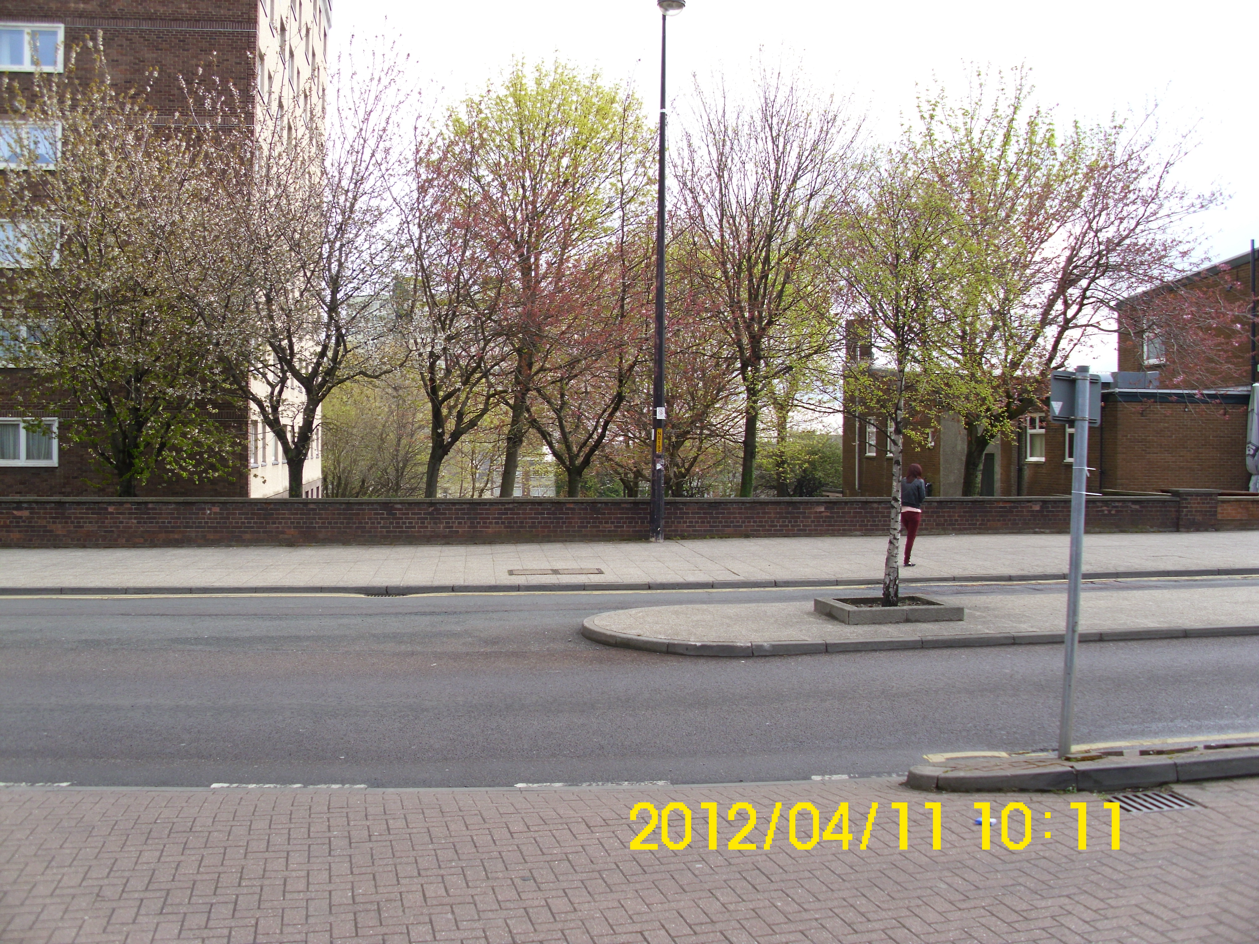
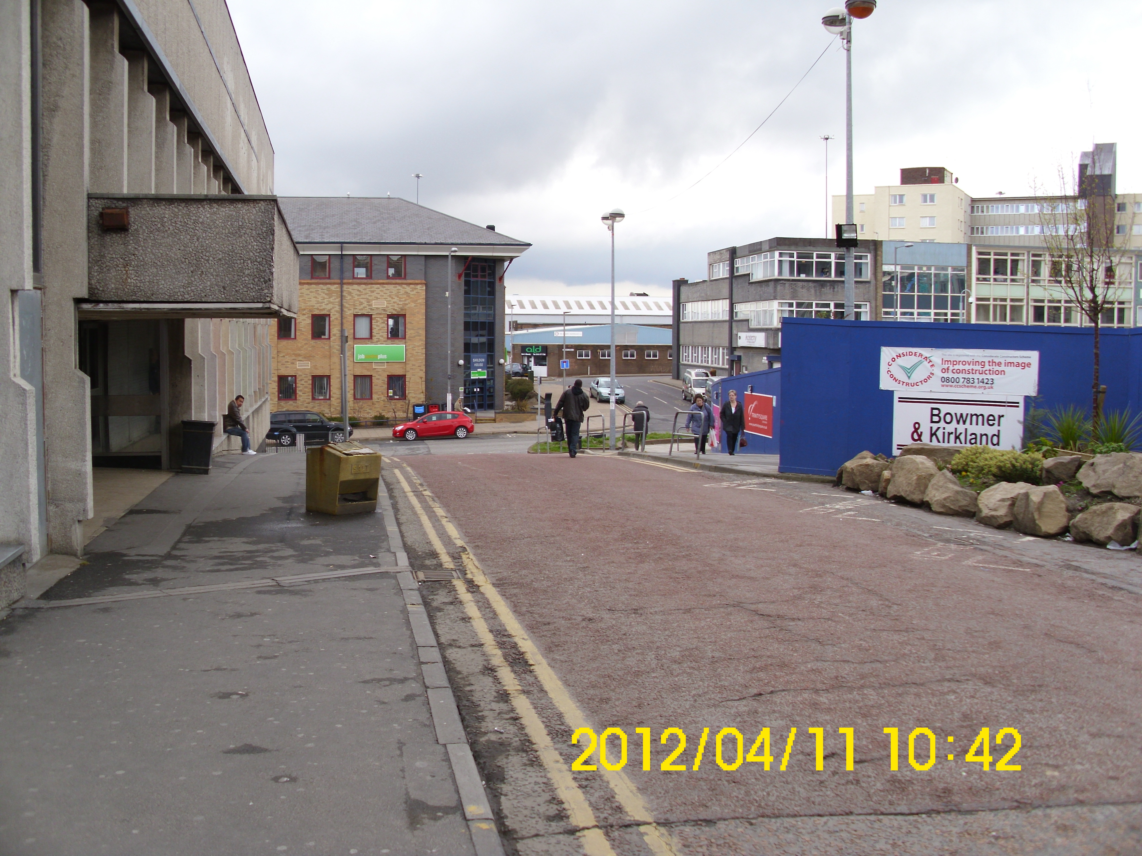
View from outside Civic Centre across what was High West St., to top of Nelson St.
Ditto, but looking South.
Ditto, but showing corner of Regent’s Court Flats.
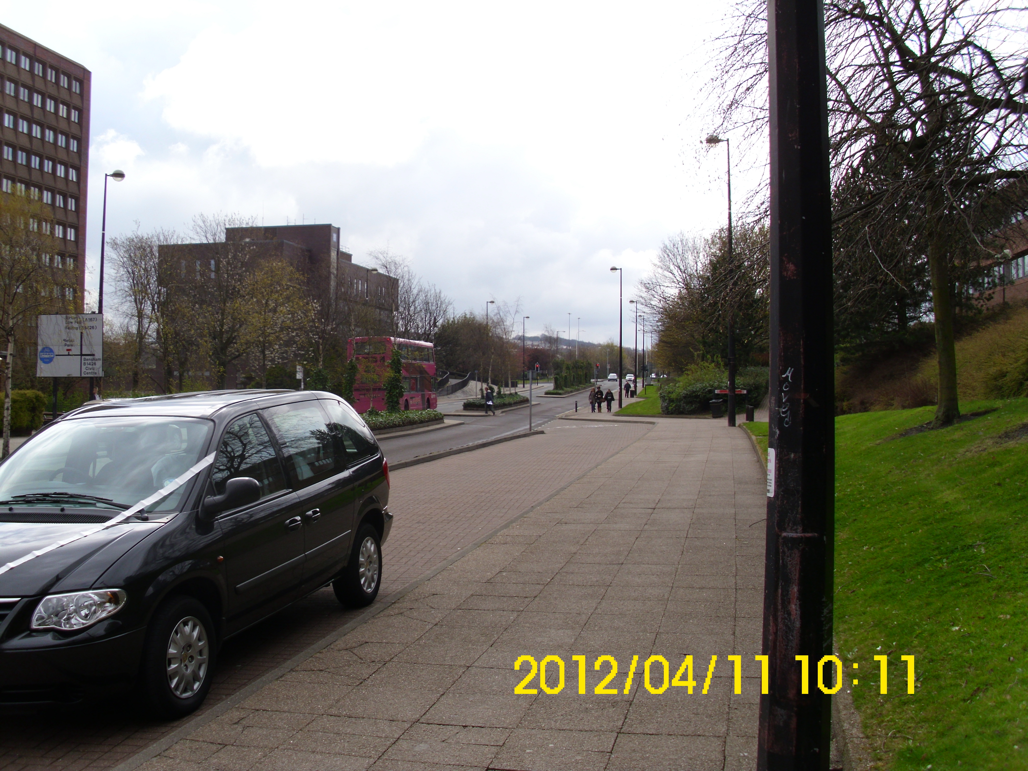
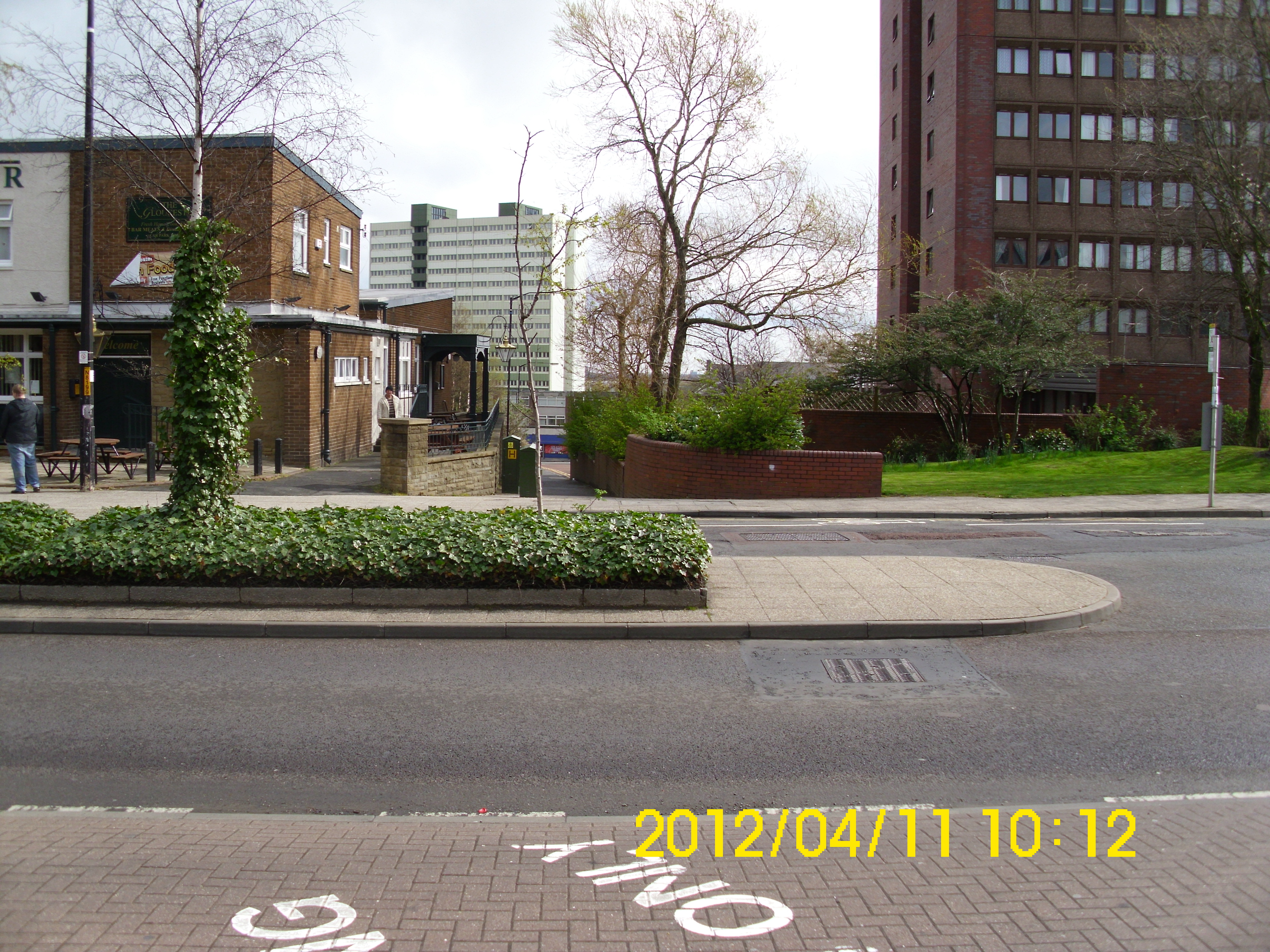
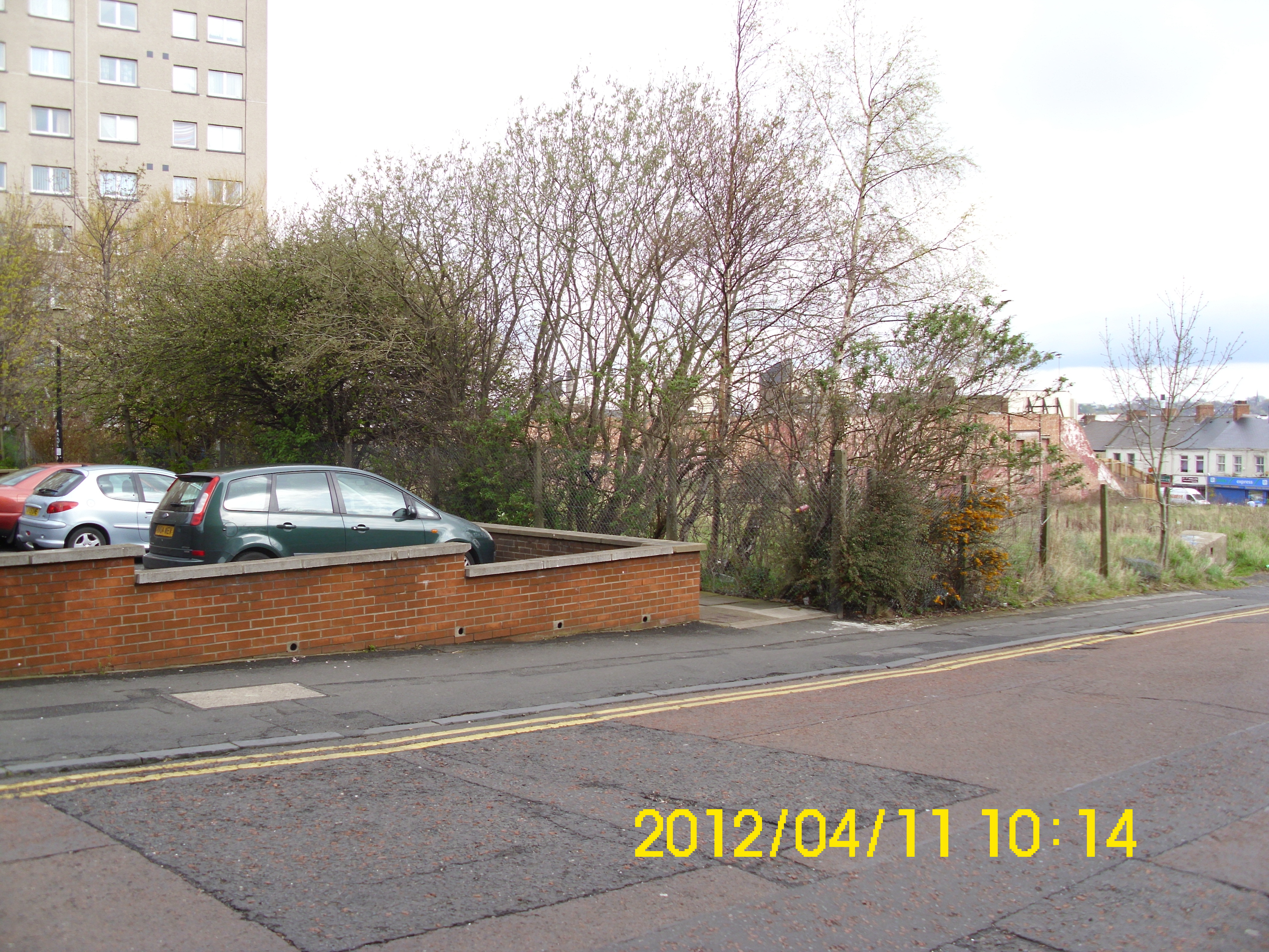
View down the (now cul-de-sacced) Nelson St.
From top of Nelson St.
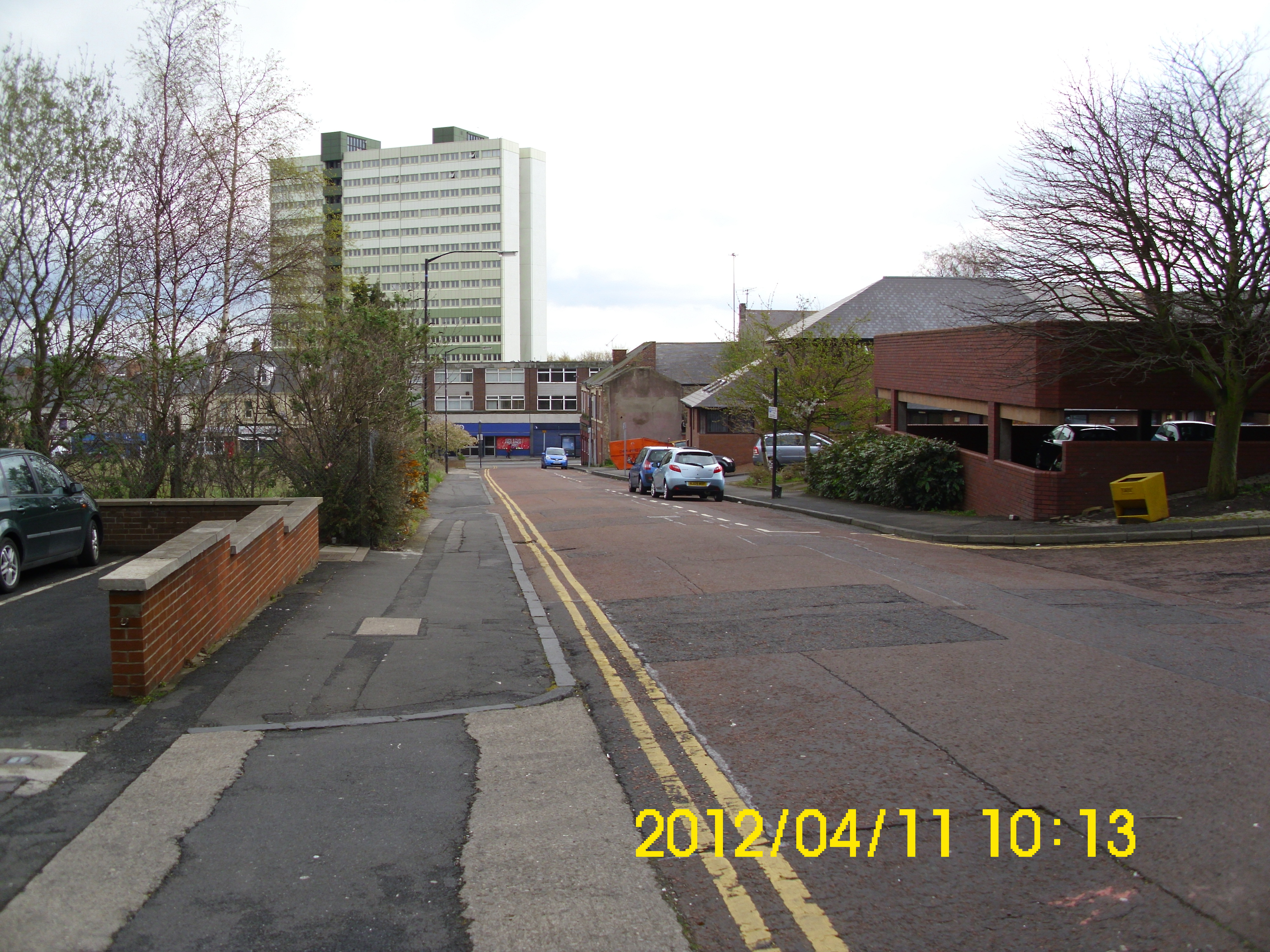
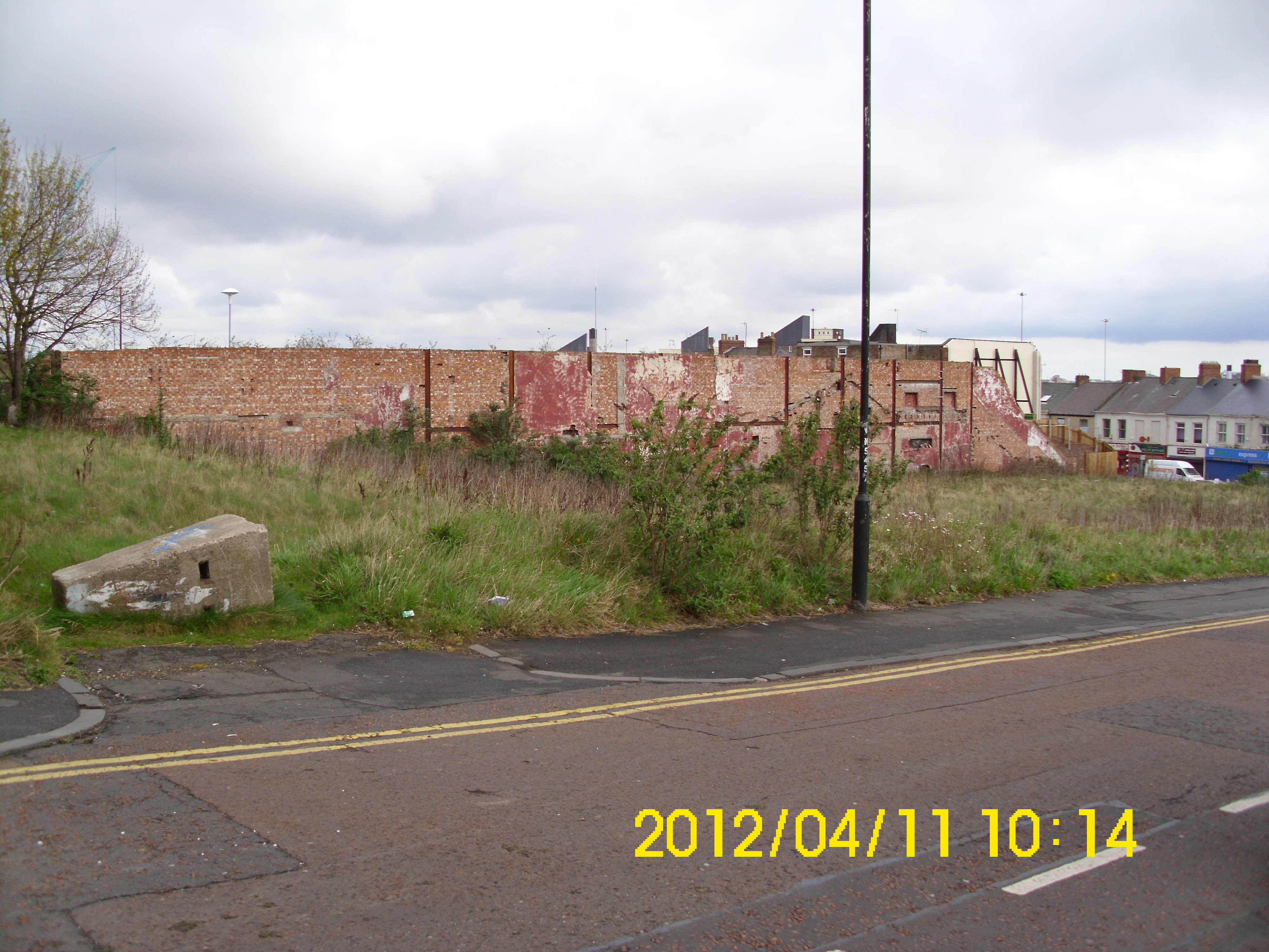
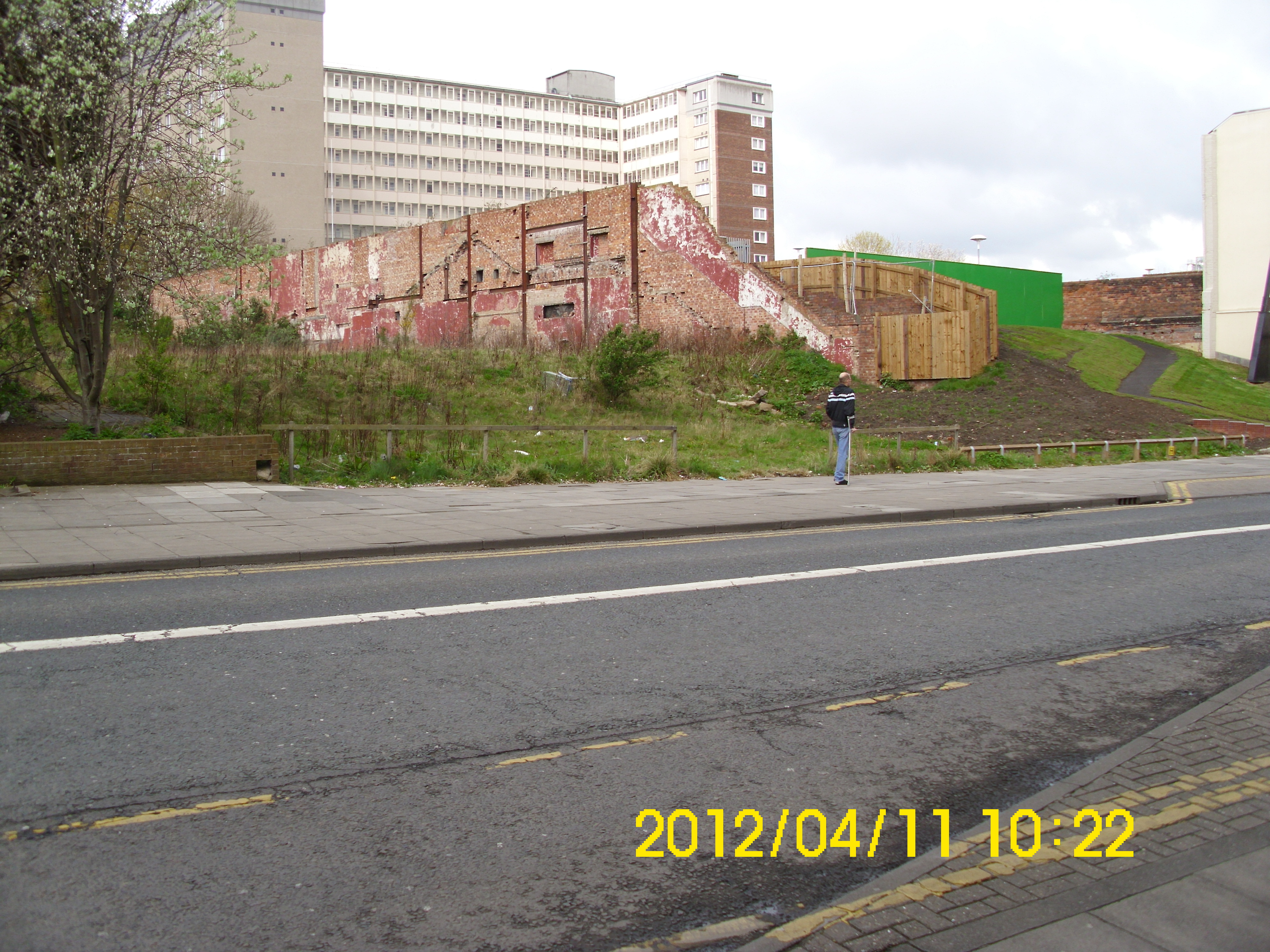
View across void that used to be Odeon Cinema, to Gateshead High St.
Similar, but showing corner of Regent’s Court Flats.
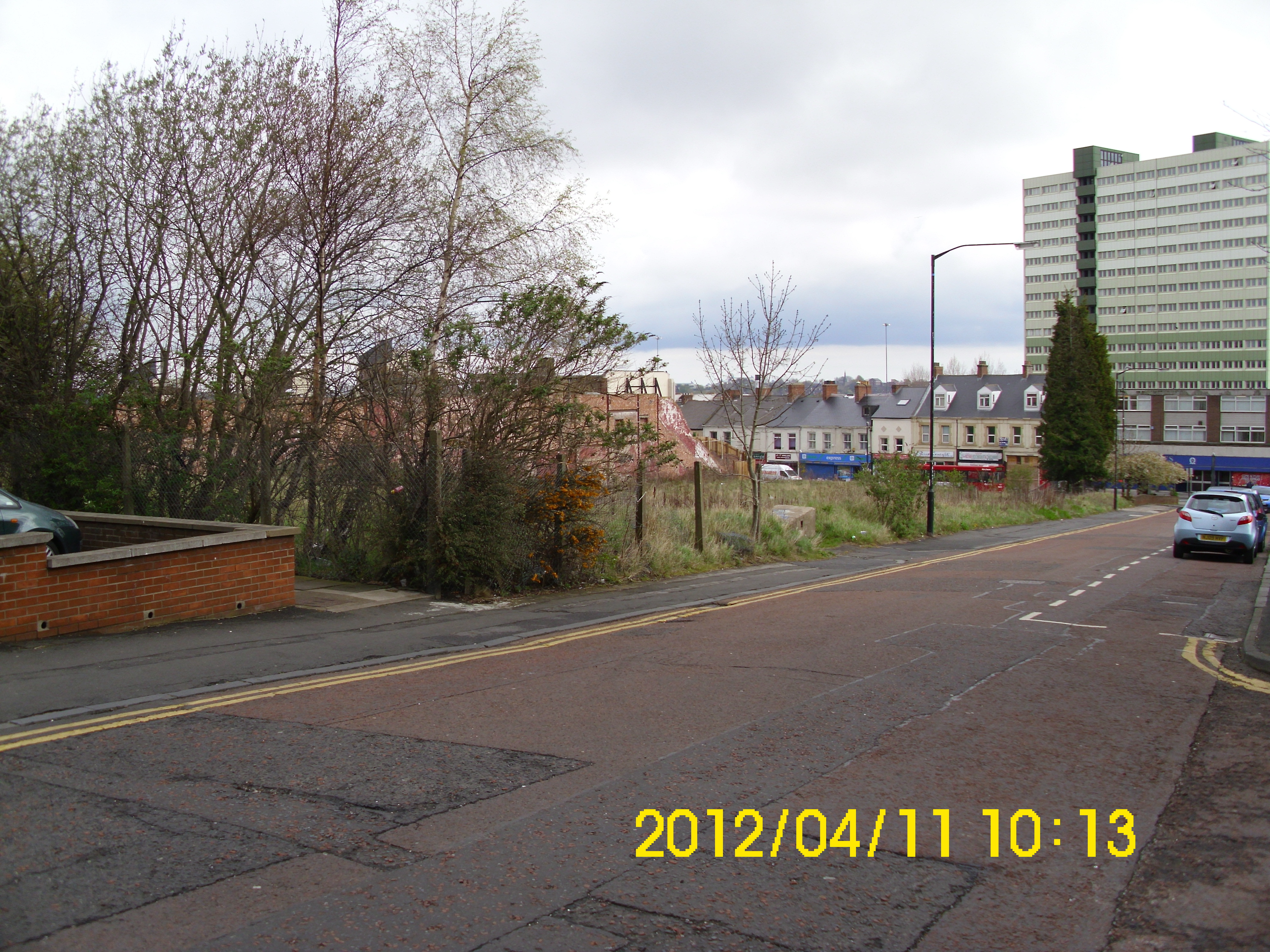
Moved down Nelson St a little. Amazing how big Odeon used to be.
Bottom of Nelson St – can’t remember what this pub used to be called.
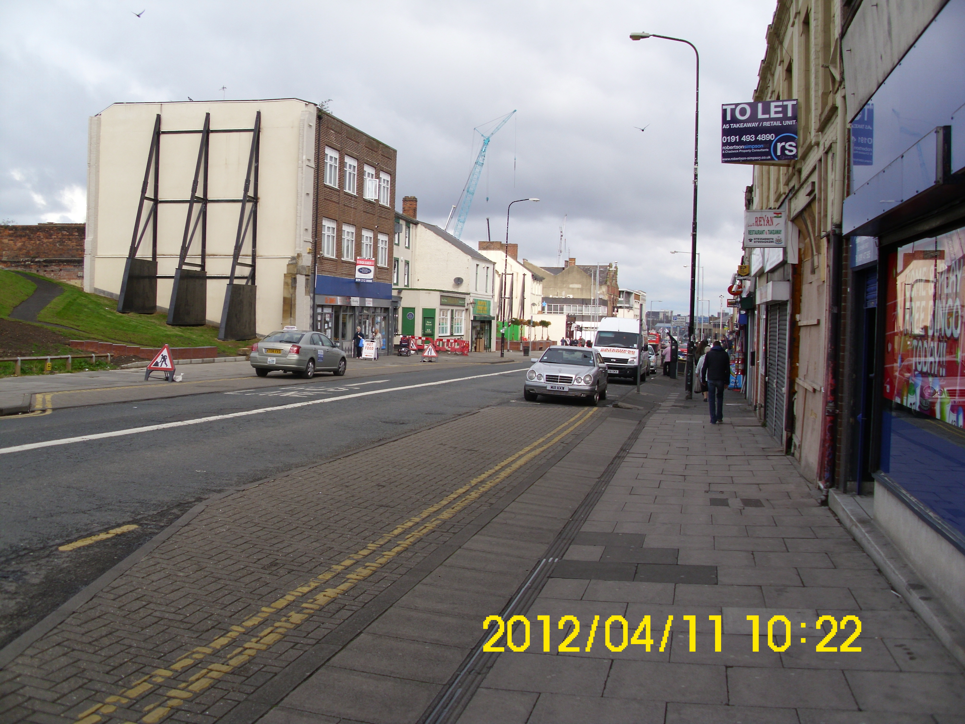
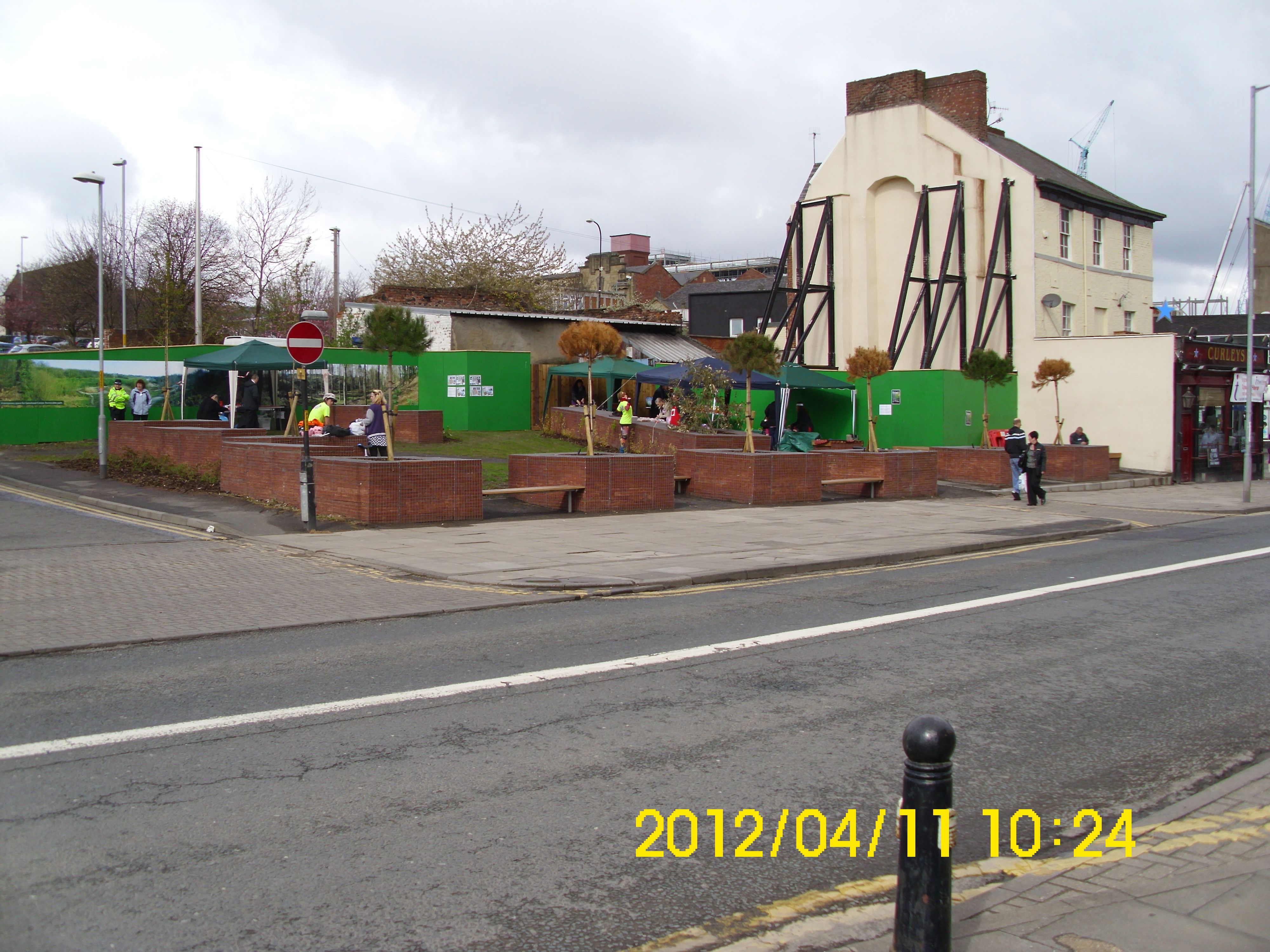
Attempt to ‘beautify’ derelict Odeon site, shows how long this land has been empty.
View up to end of what used to be Sunderland Road.
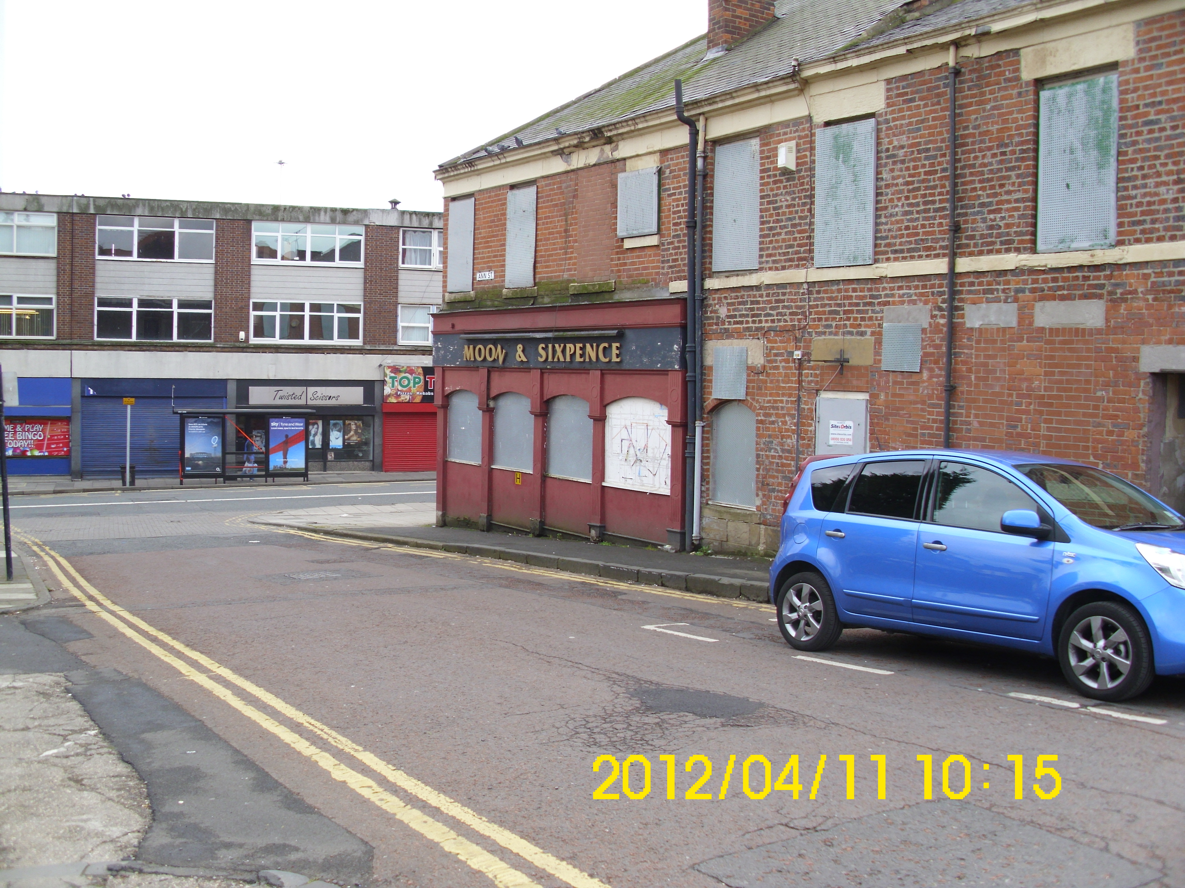
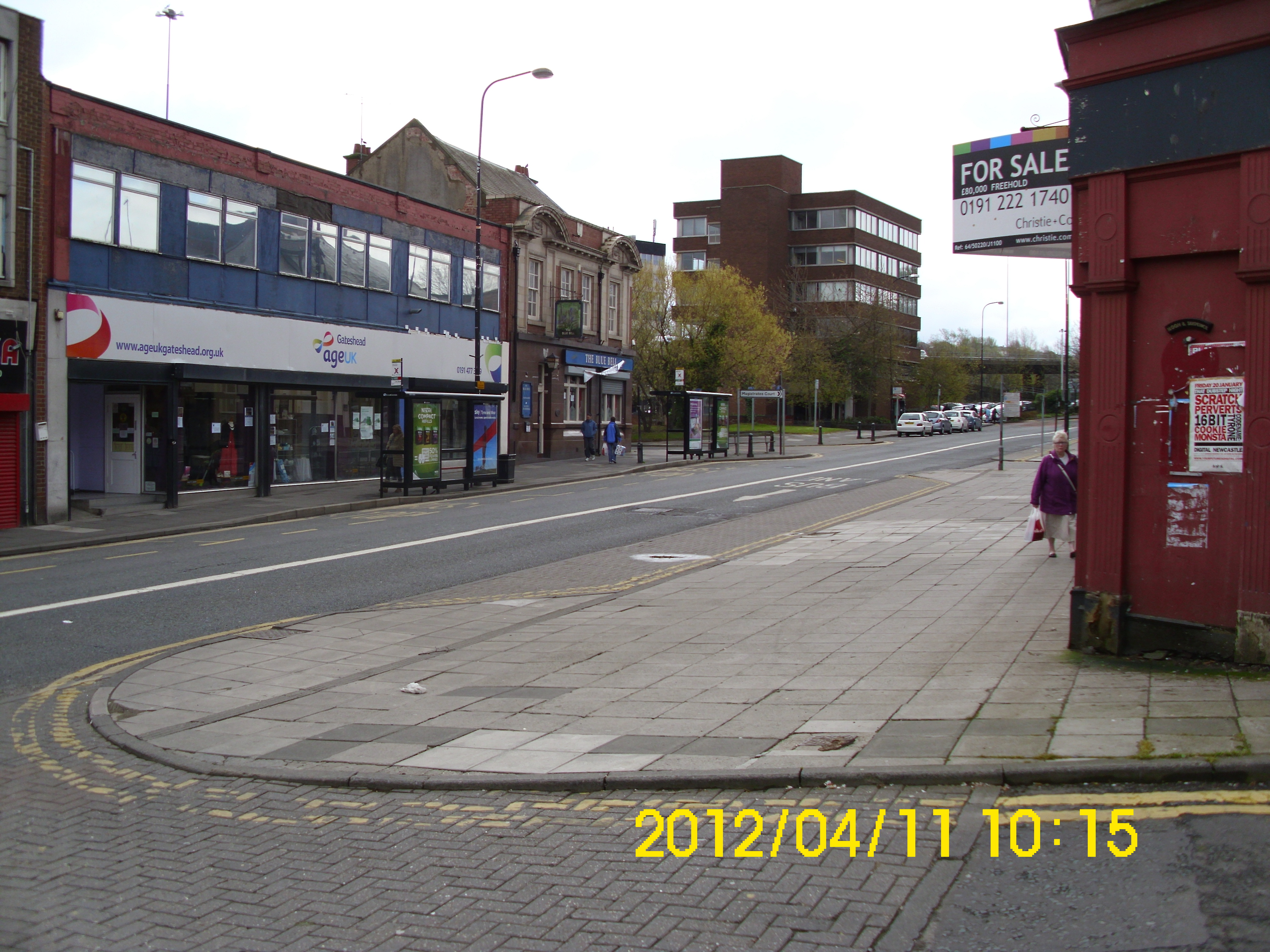
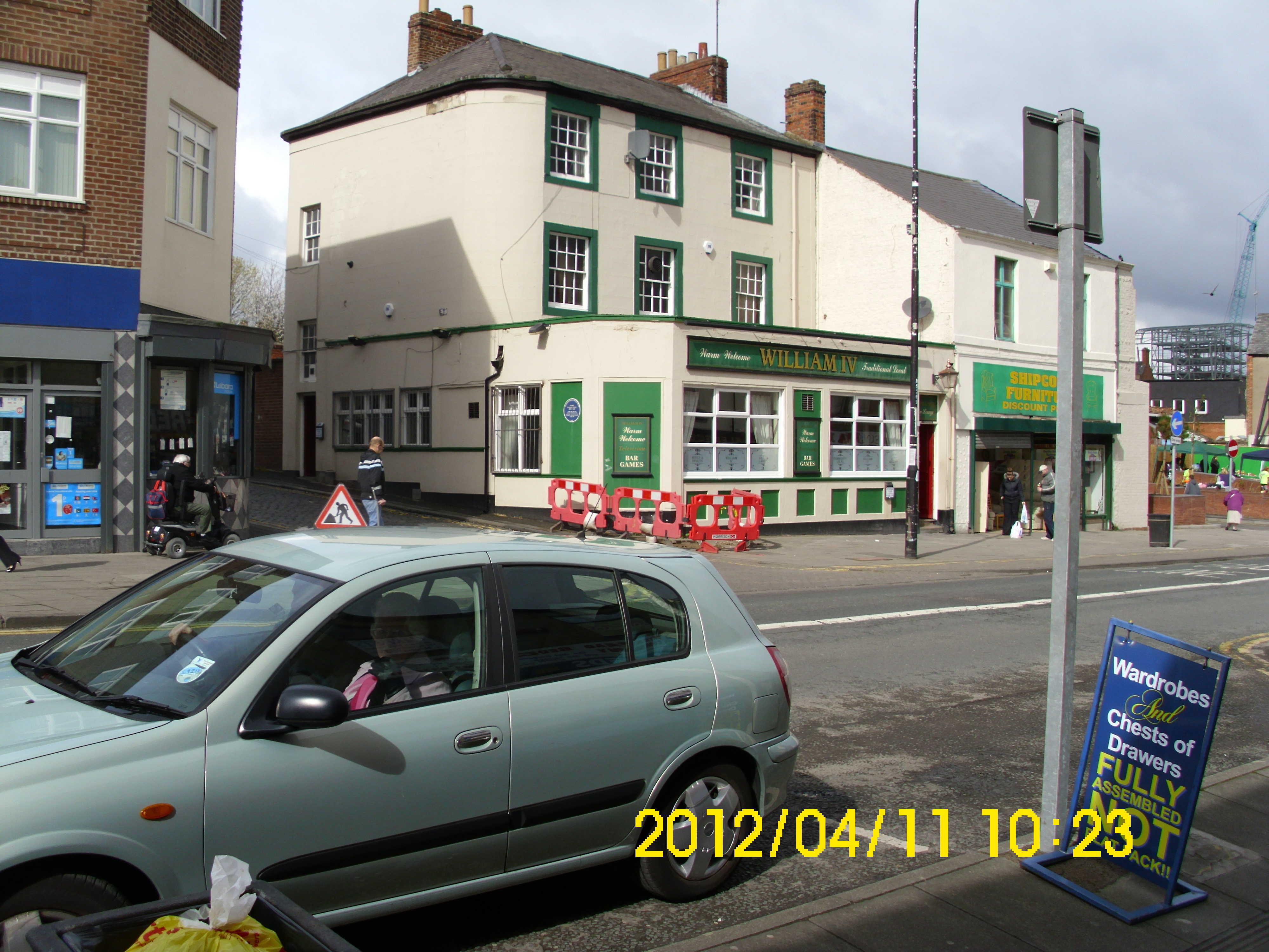
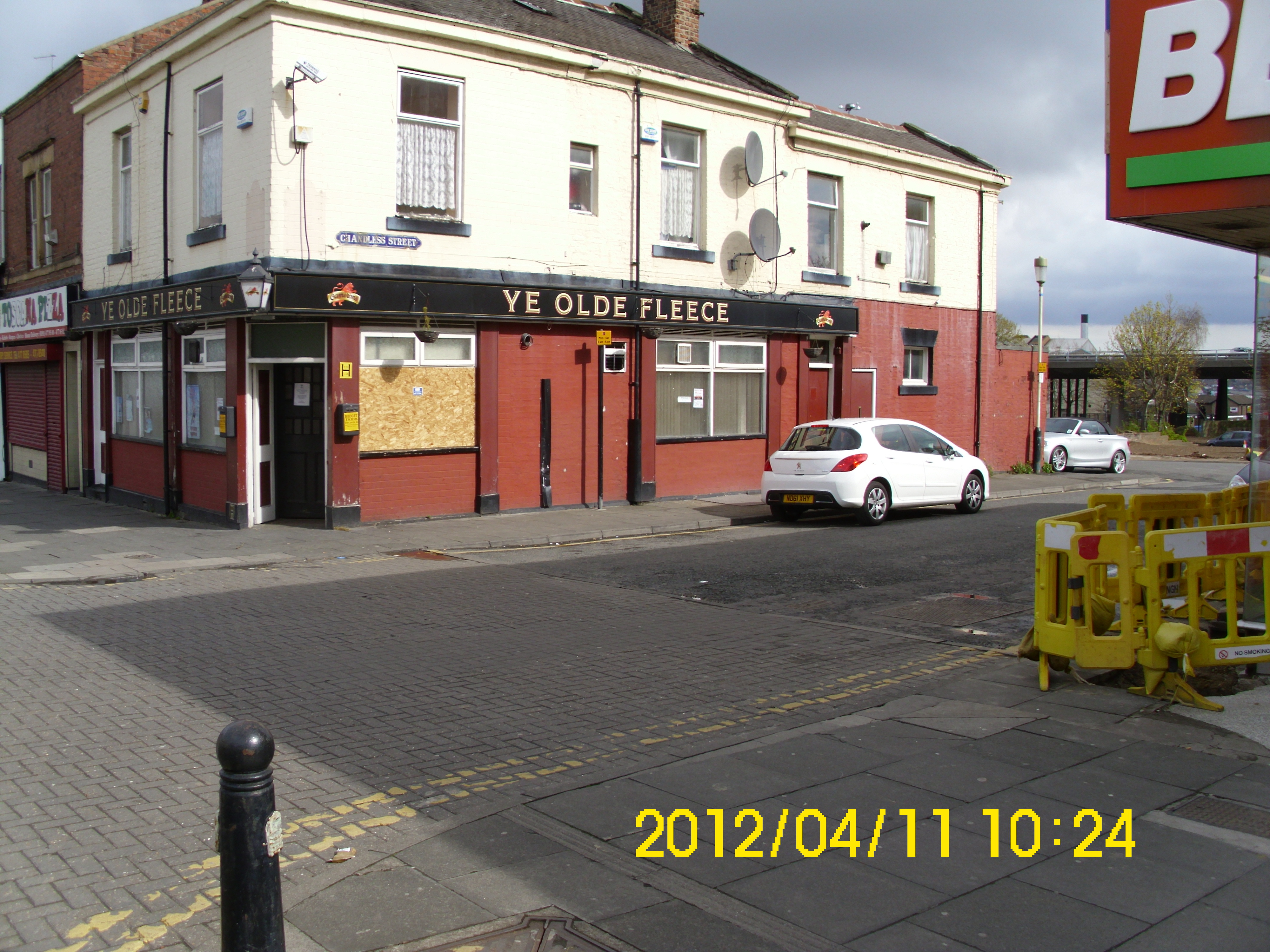
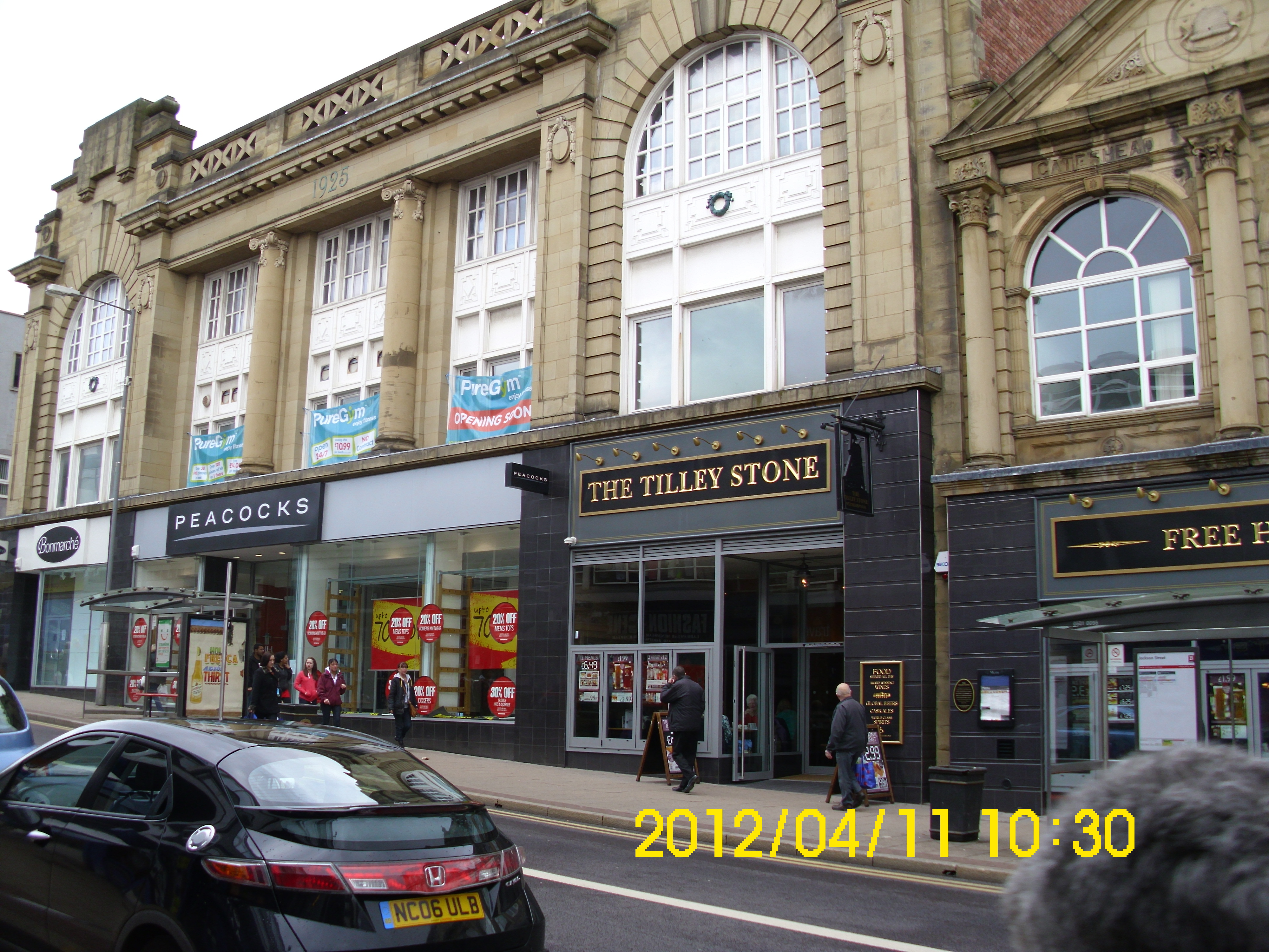
Yes, do recognize this pub. Looking South to ‘top’ of High St.
View ‘along’ now blocked-off Sunderland Rd.
View north from same position.
View of would have been front of Odeon.
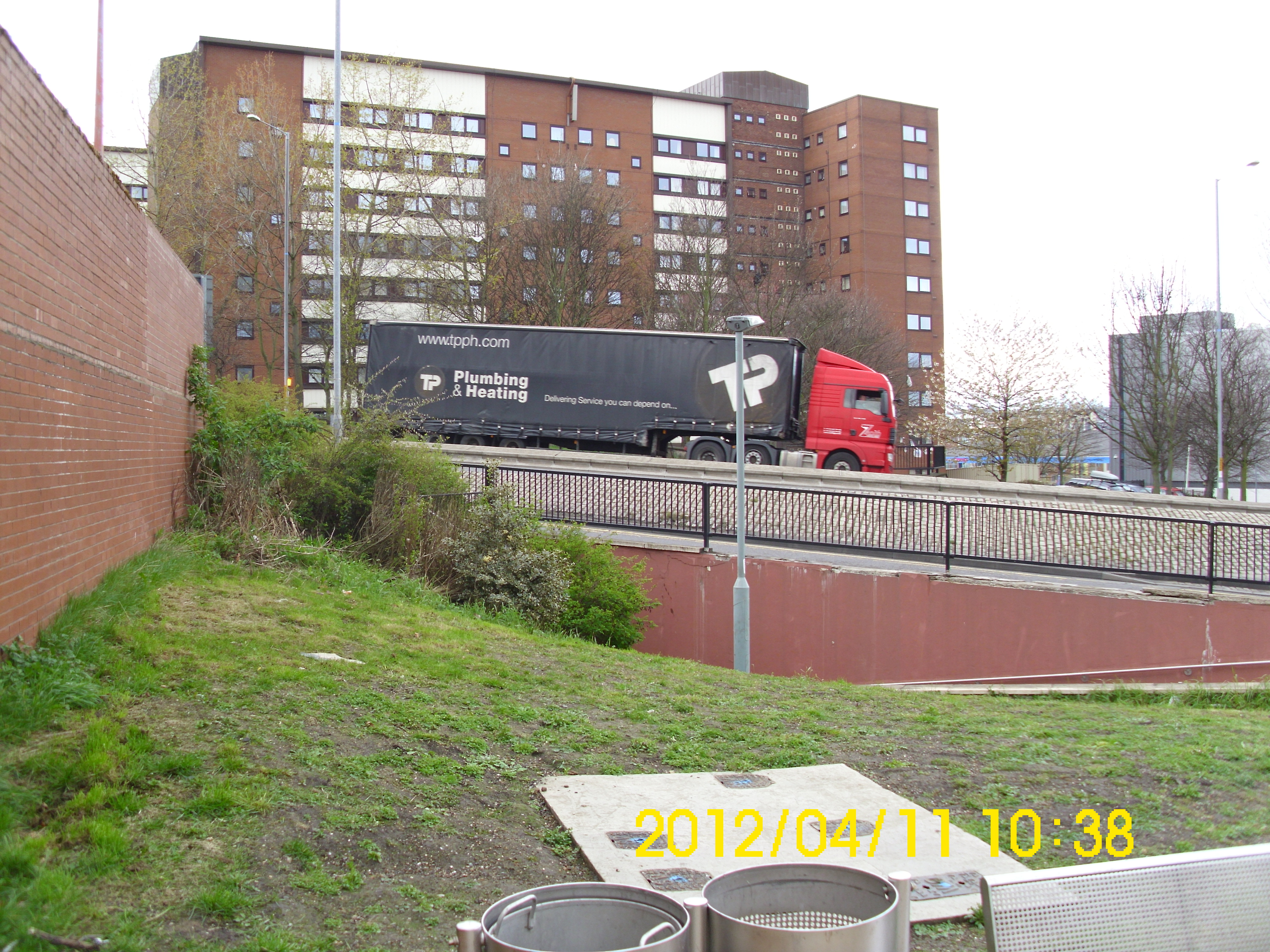
View north from same position. Construction crane at ‘Trinity Square’ clearly seen.
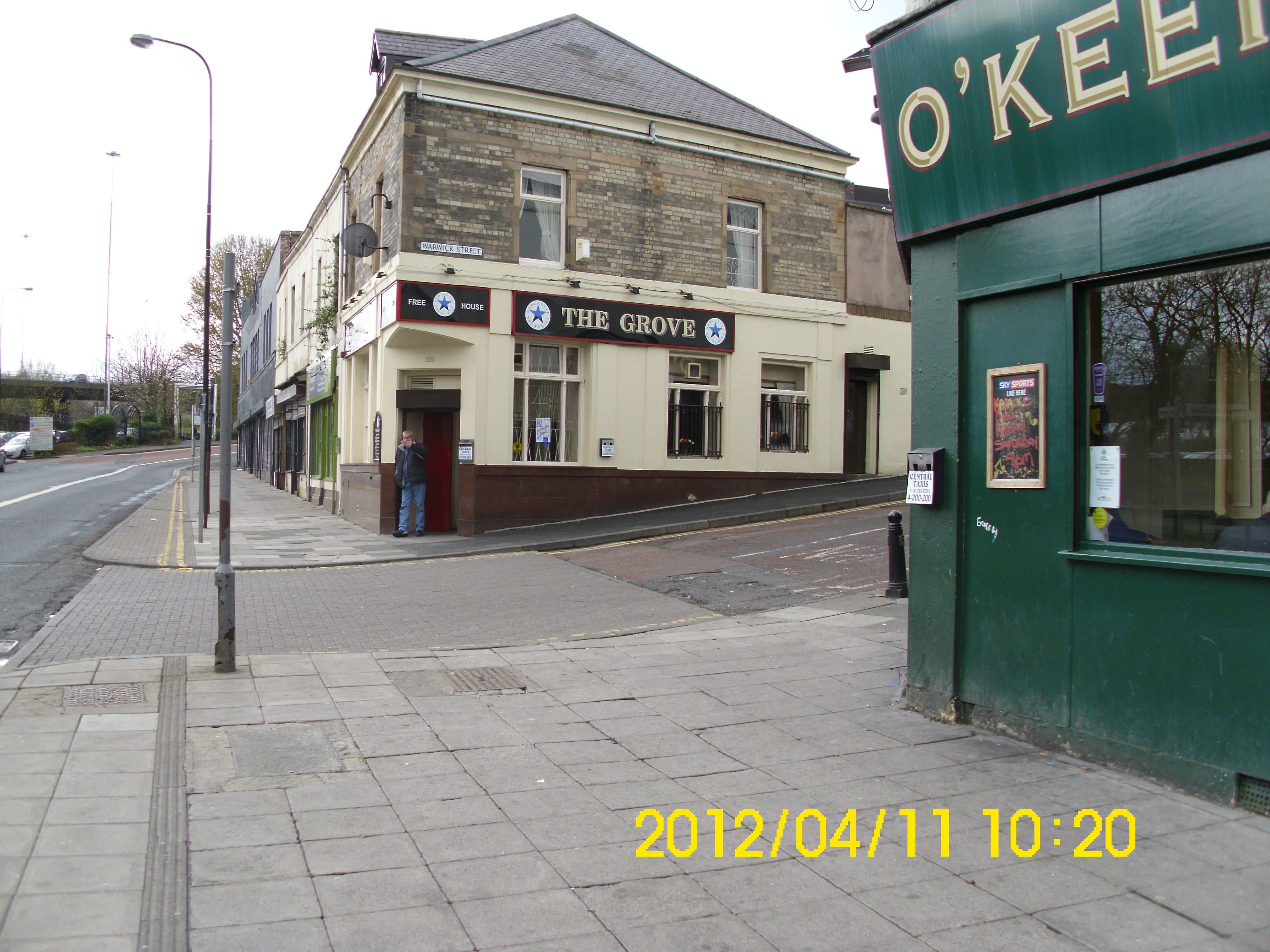
Mum & Dad’s old watering hole – still seems popular.
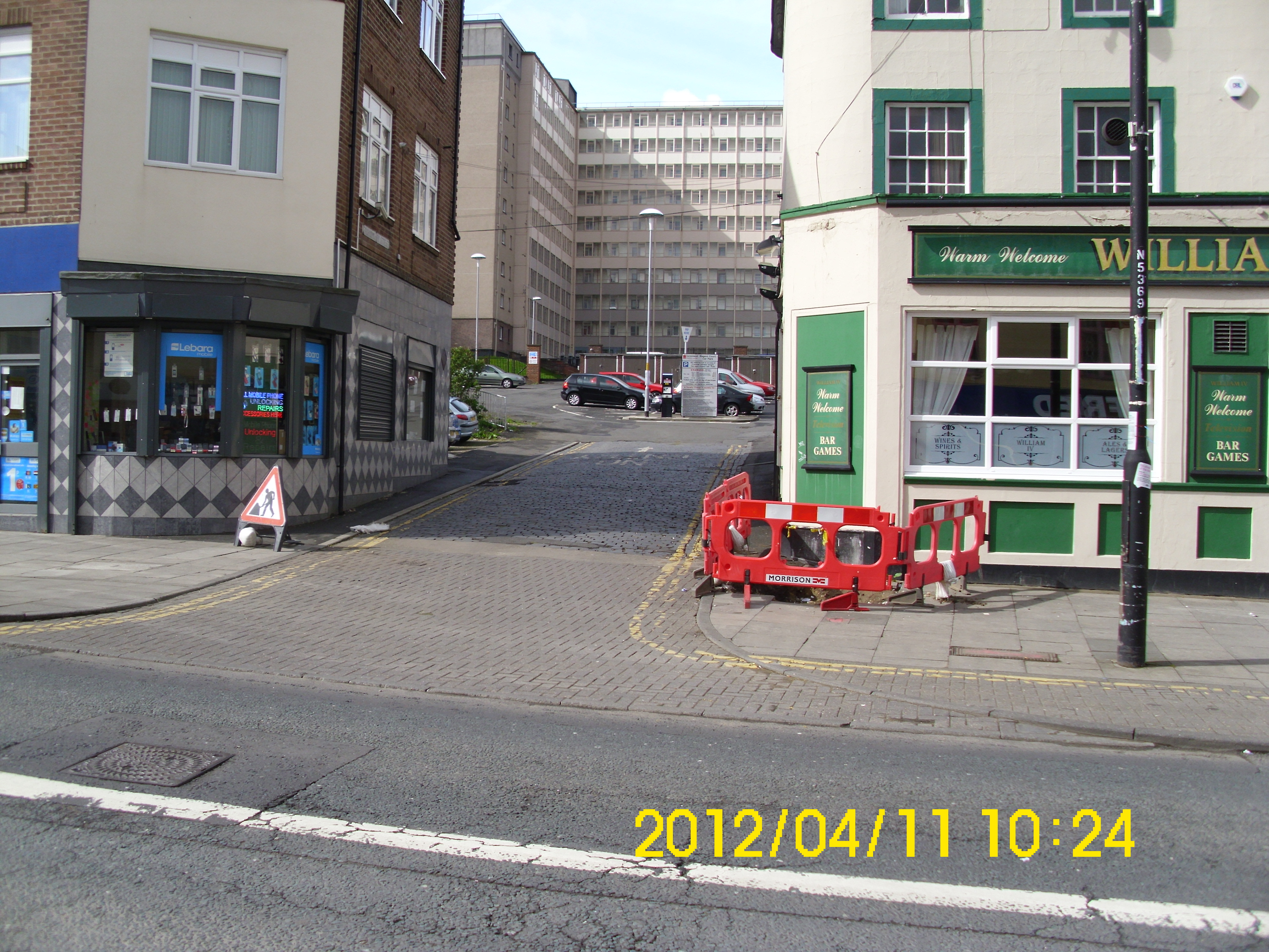
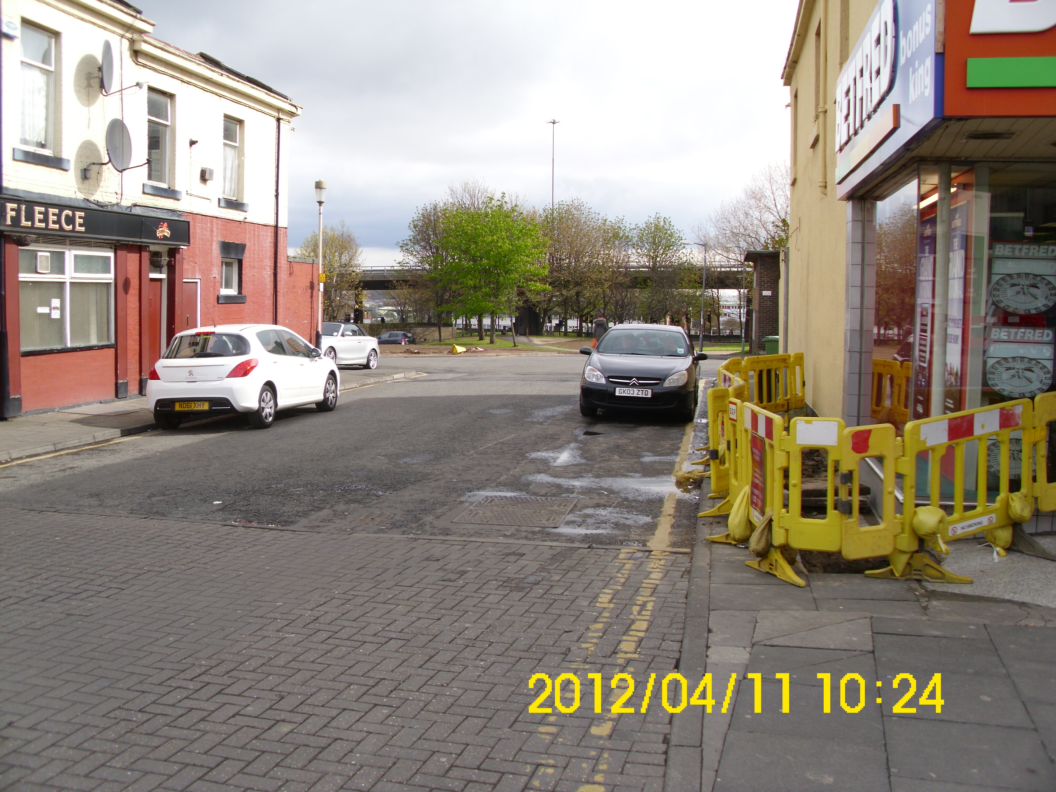
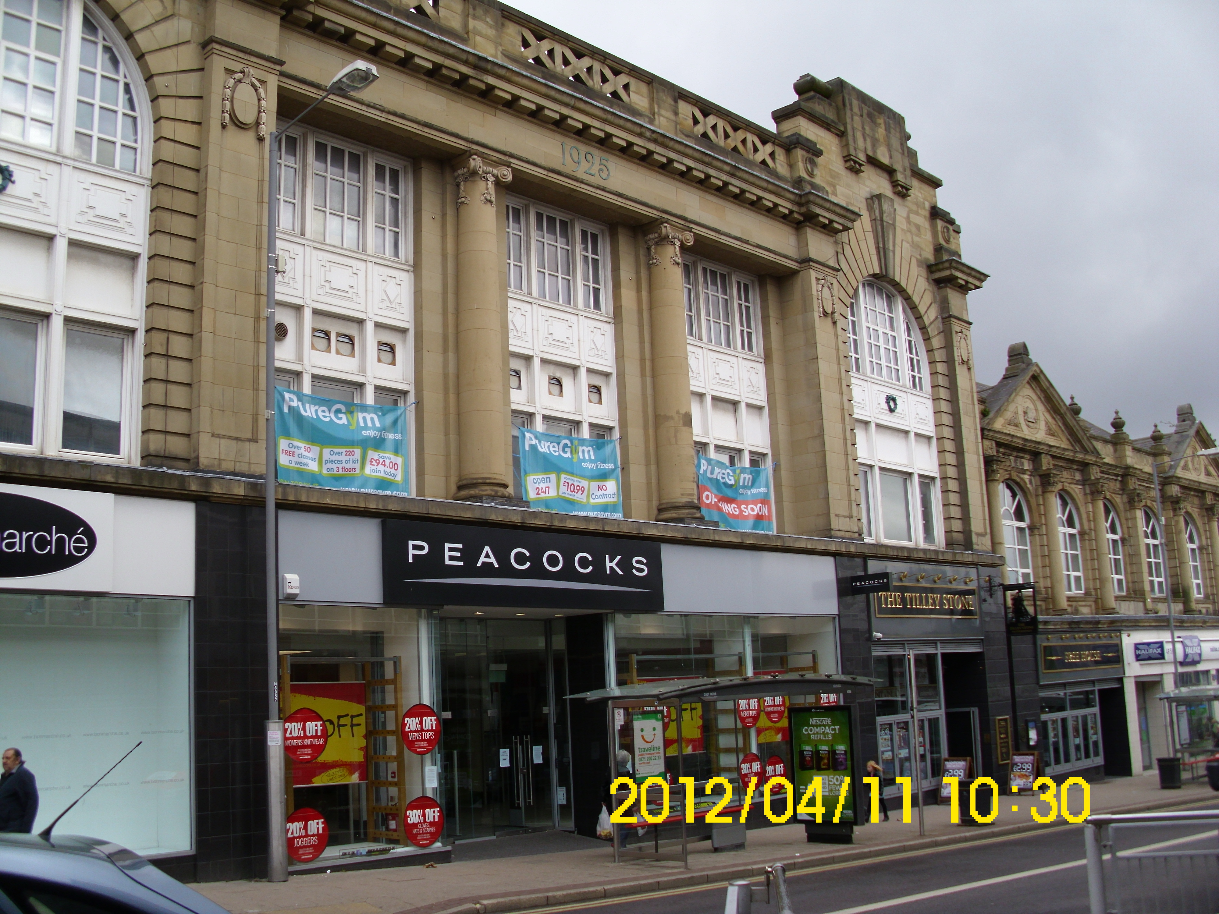
Regent’s Court flats again!
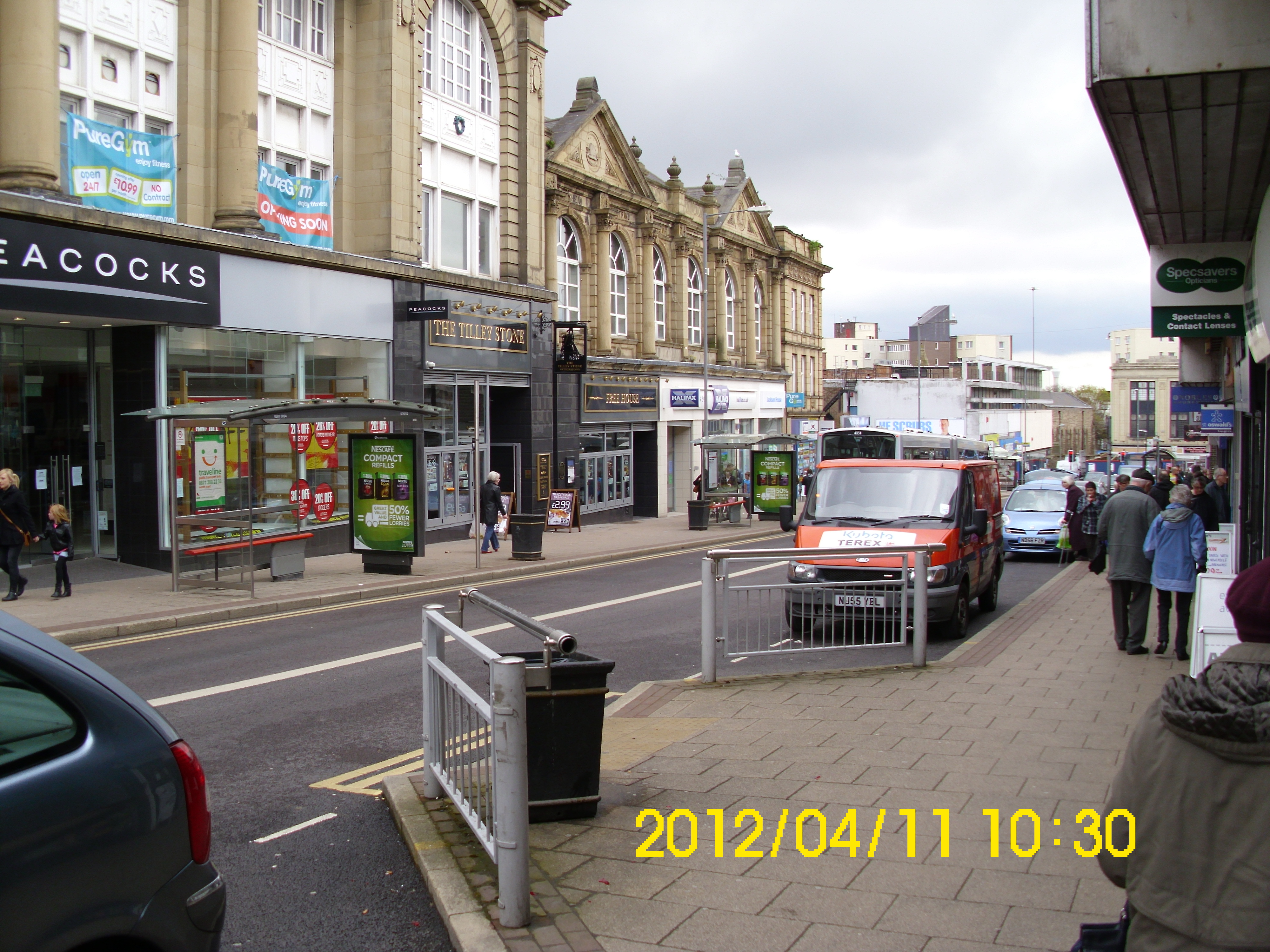
Back of RH side of High St., going north – this pub still same name. I remember there were underground toilets in the middle of street here. The ‘Ladies’ toilets had a missing frosted-glass brick in the roof, and myself and other ‘little devils’ from ‘All Saints’ school, used to peep down at some unfortunate woman’s bum, as she sat on the toilet. Various unprintable epithets from the poor victim would result as a consequence of our laughing and ‘comments’.
If you want a pee now, find a bush, as there is no replacement apparent on the High St.
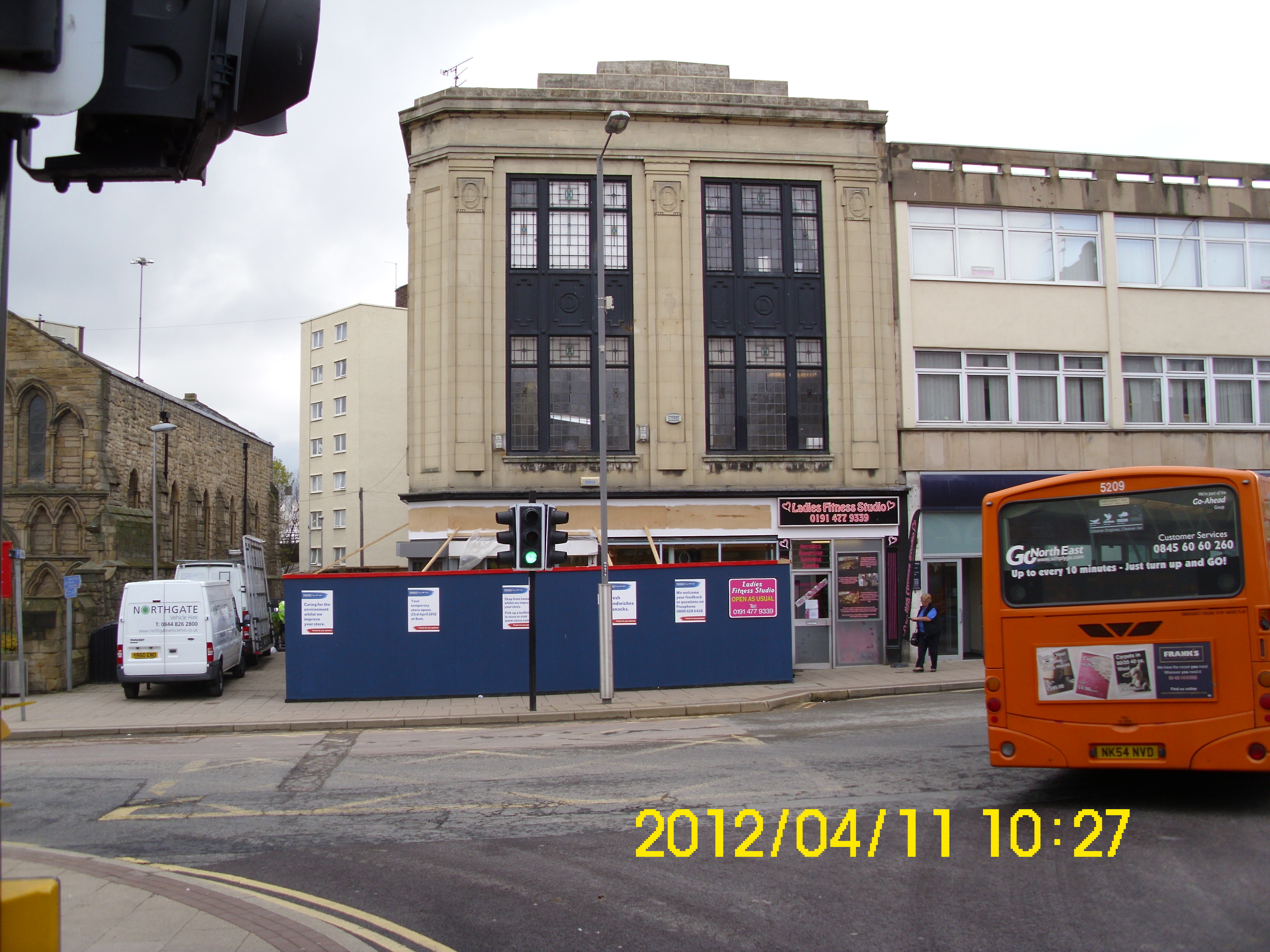
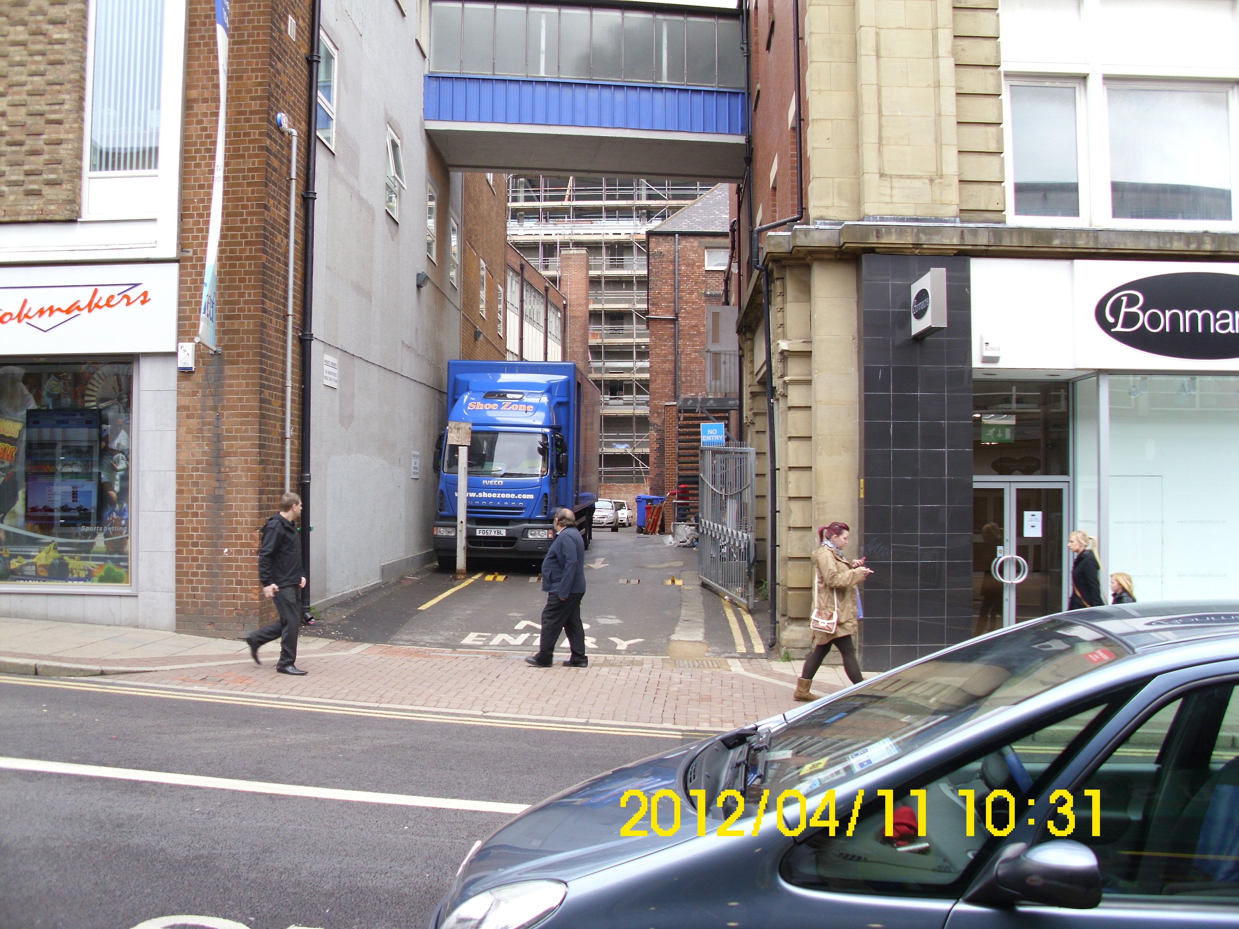
Alas! Block containing Law’s Herbal Store is no more.
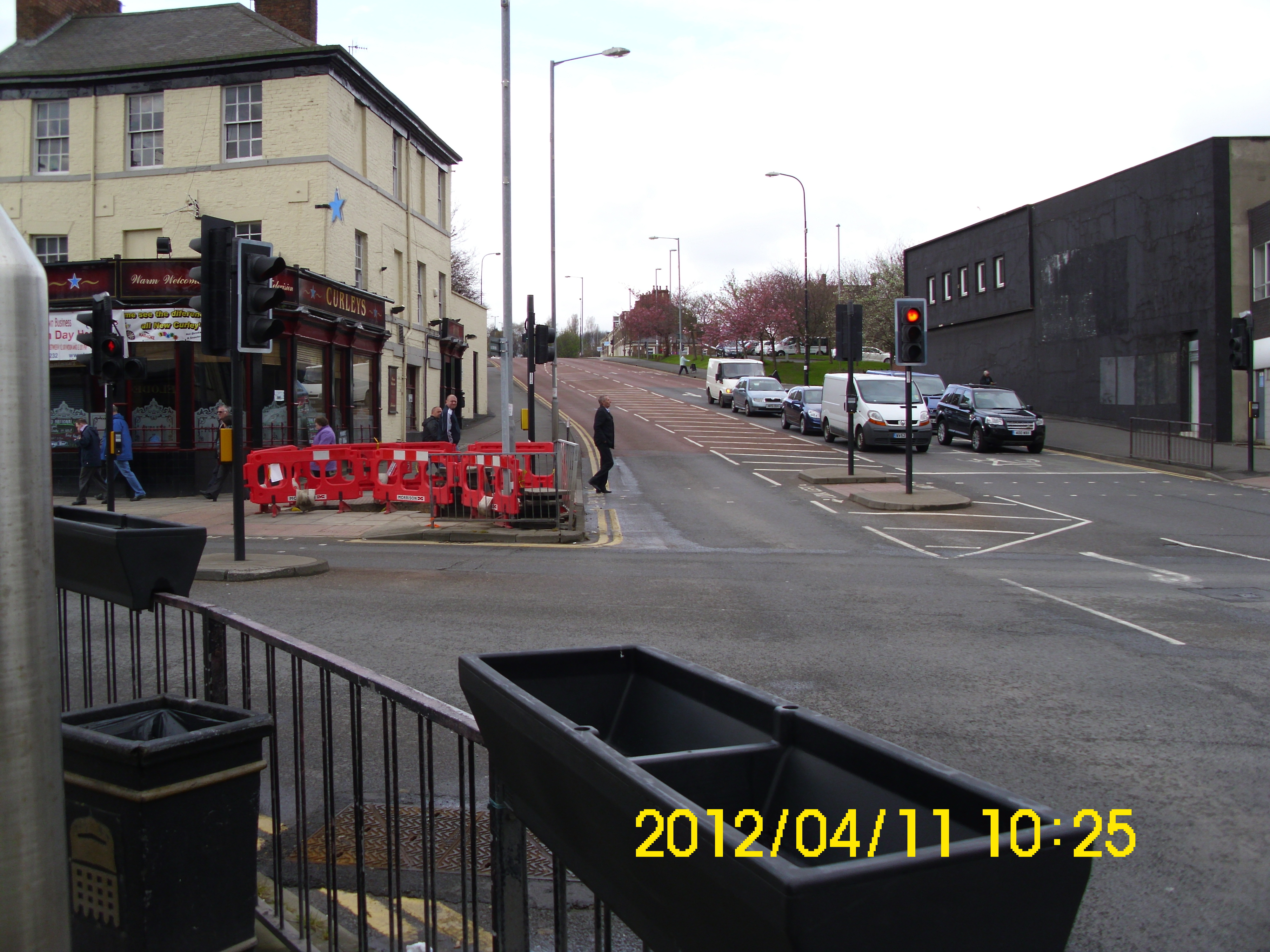
Curley’s is another pub that still clings onto life.
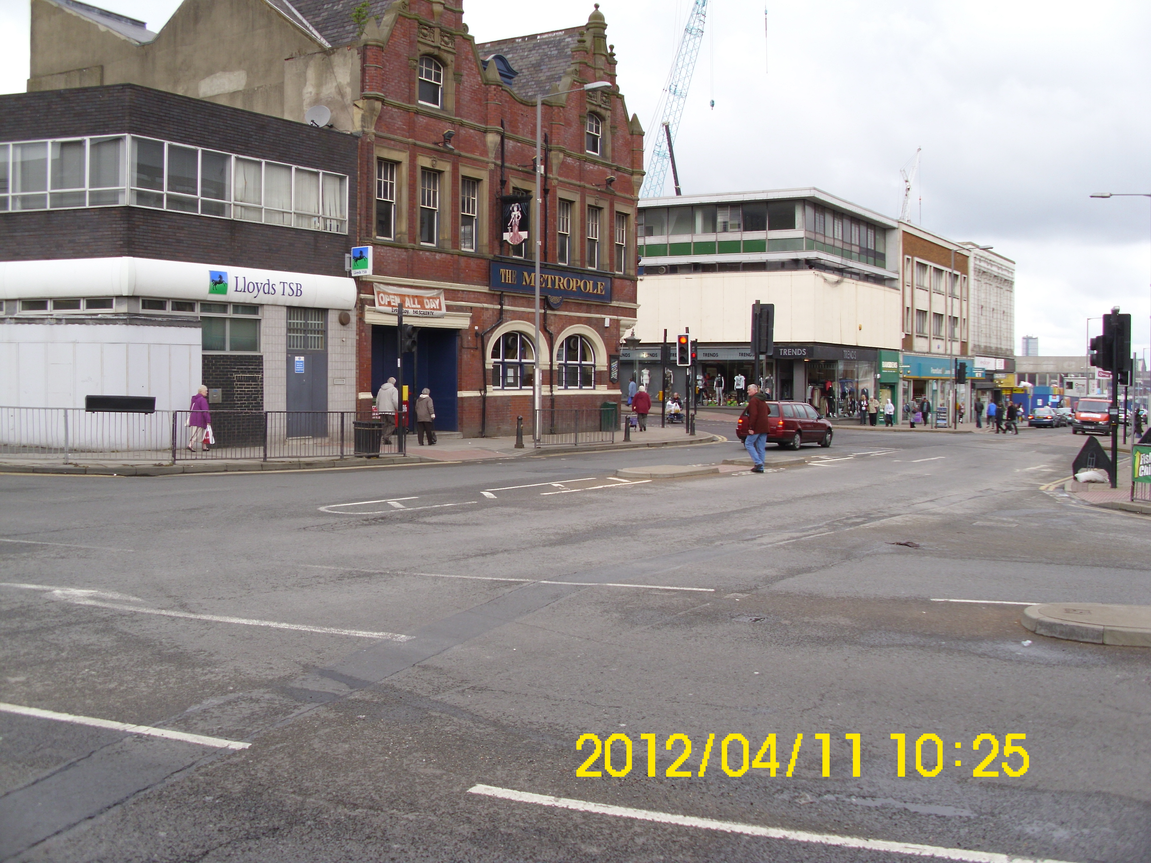
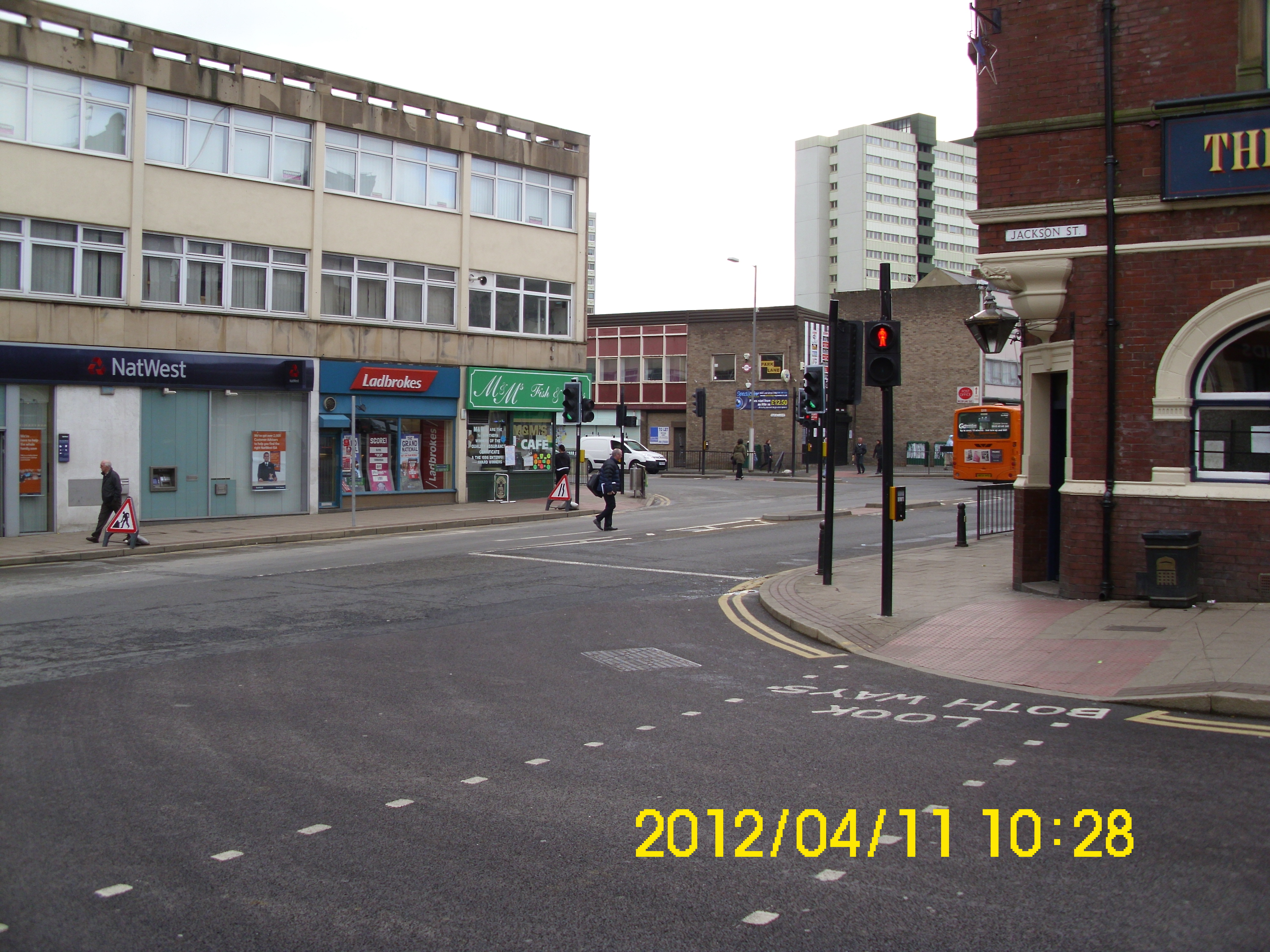
View of bottom of Jackson St, with Metropole still surviving.
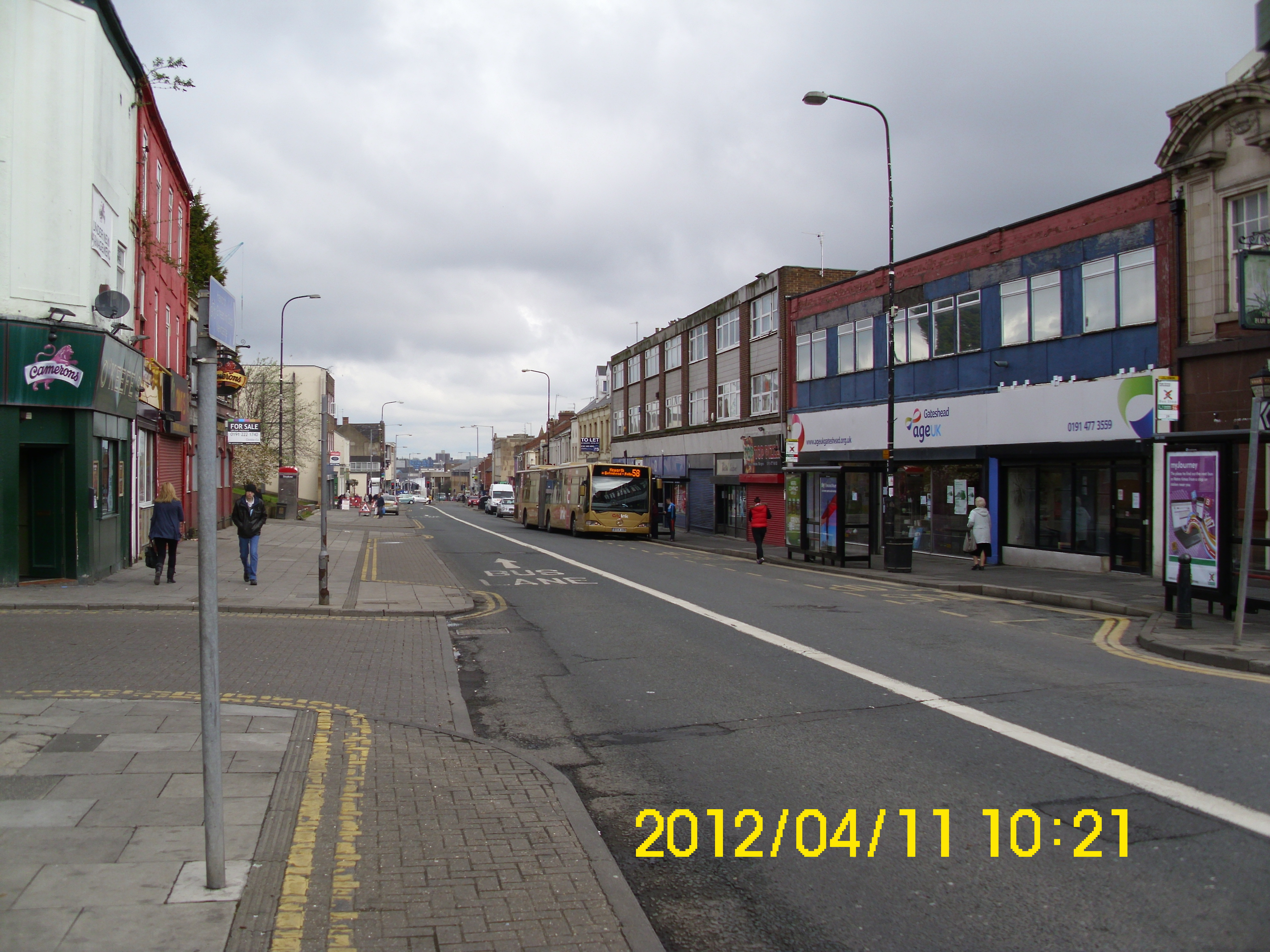
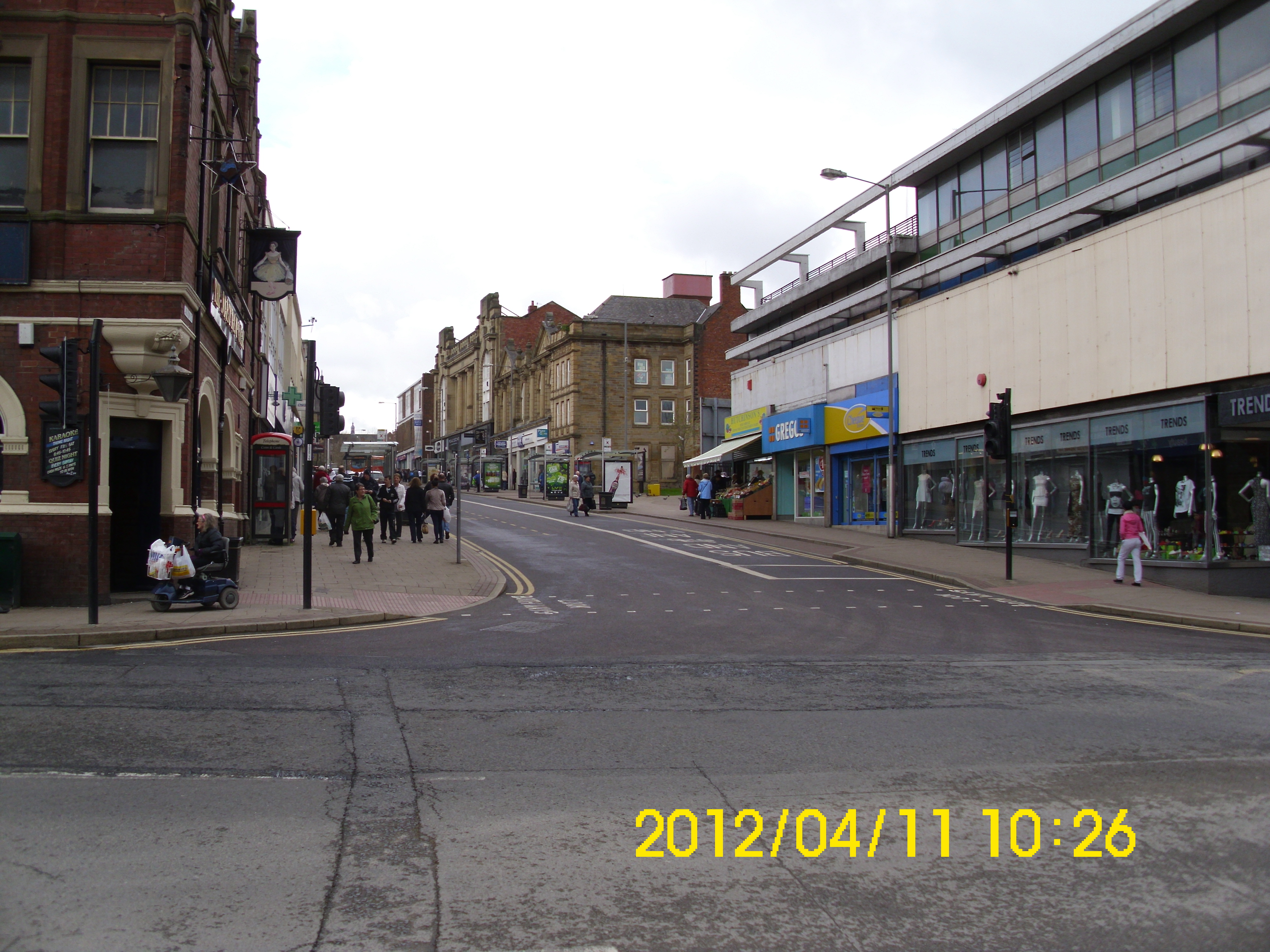
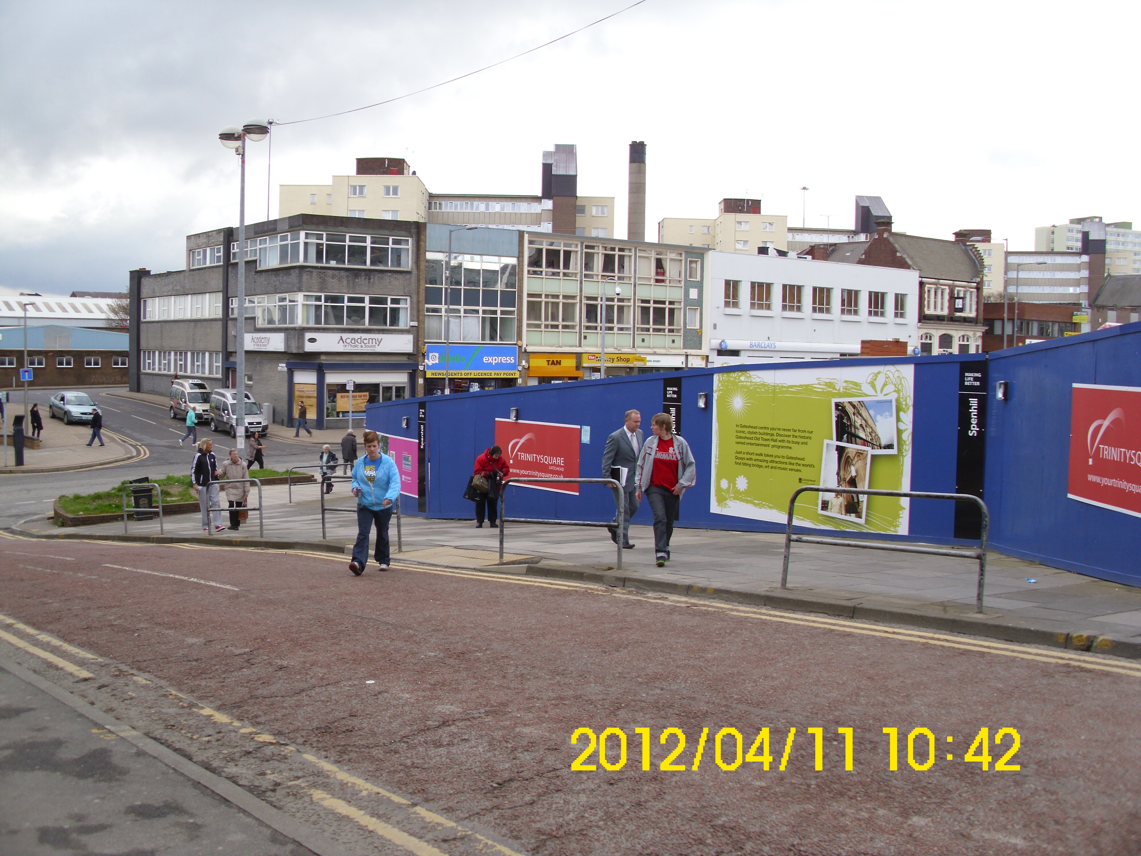
This is now main thoroughfare east-west through Gateshead. Boilermakers club at top on right is gone though. (I saw Bobby Thompson – ‘the litte waster’ there – cracking!)
View west up Jackson St.
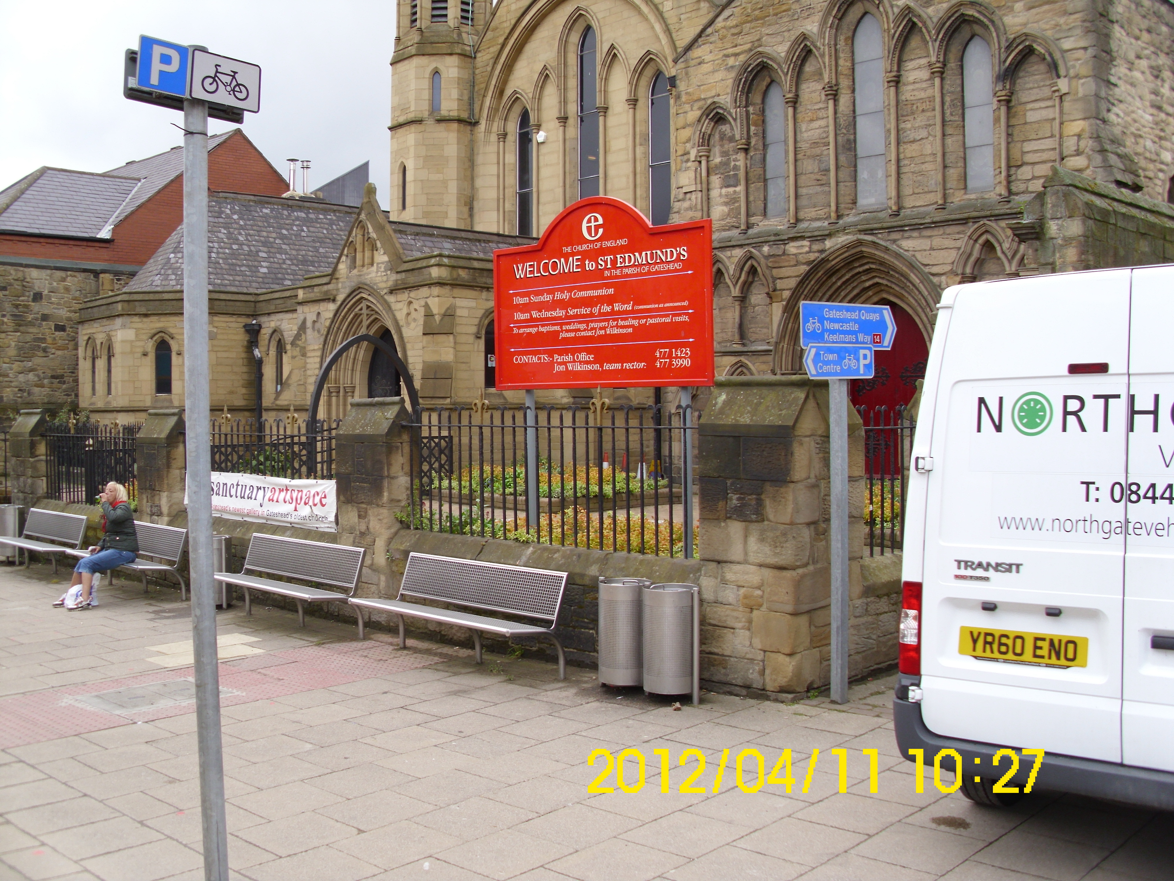
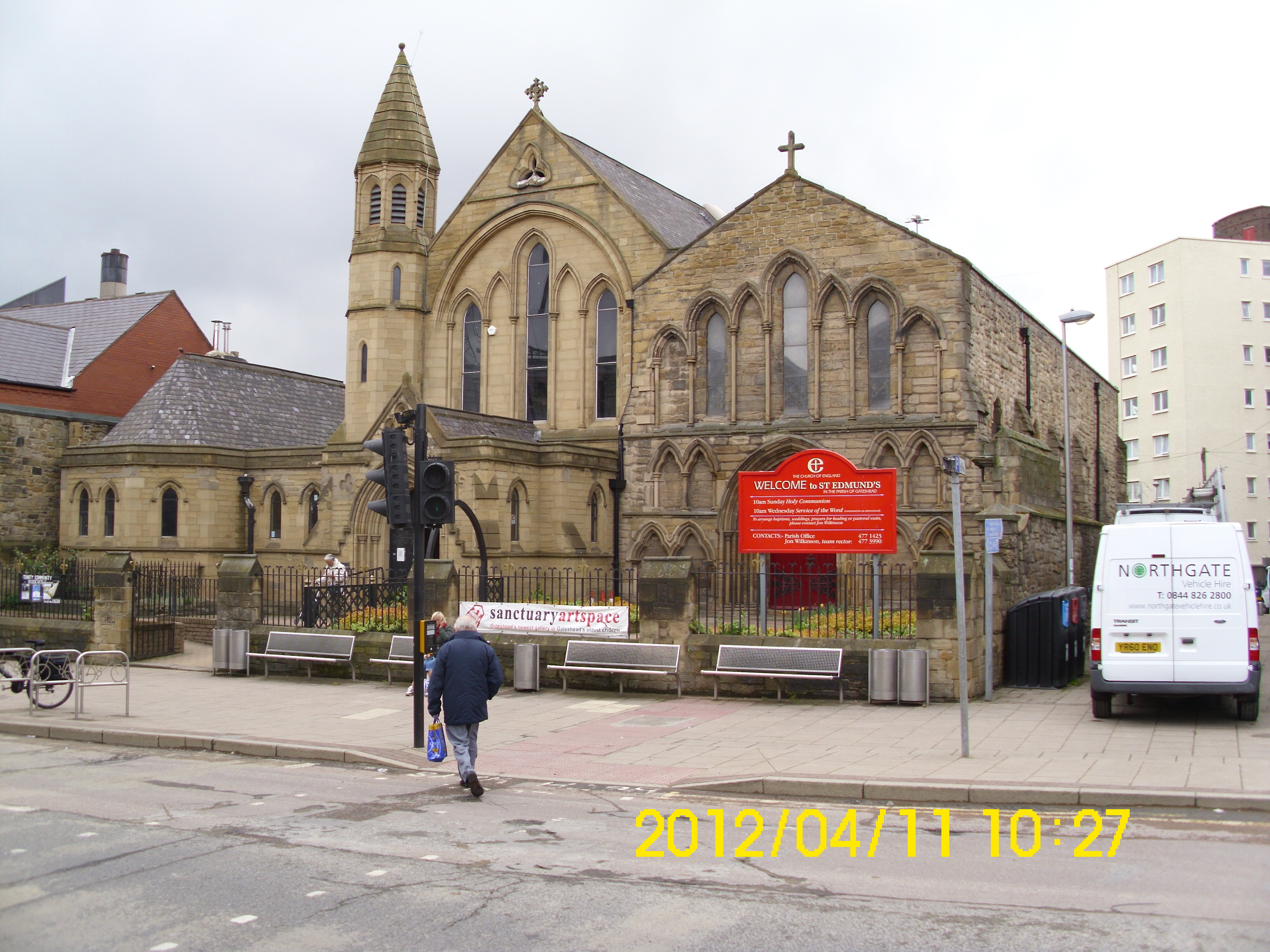
Apparently, the old Holy Trinity church is actually called St Edmunds??
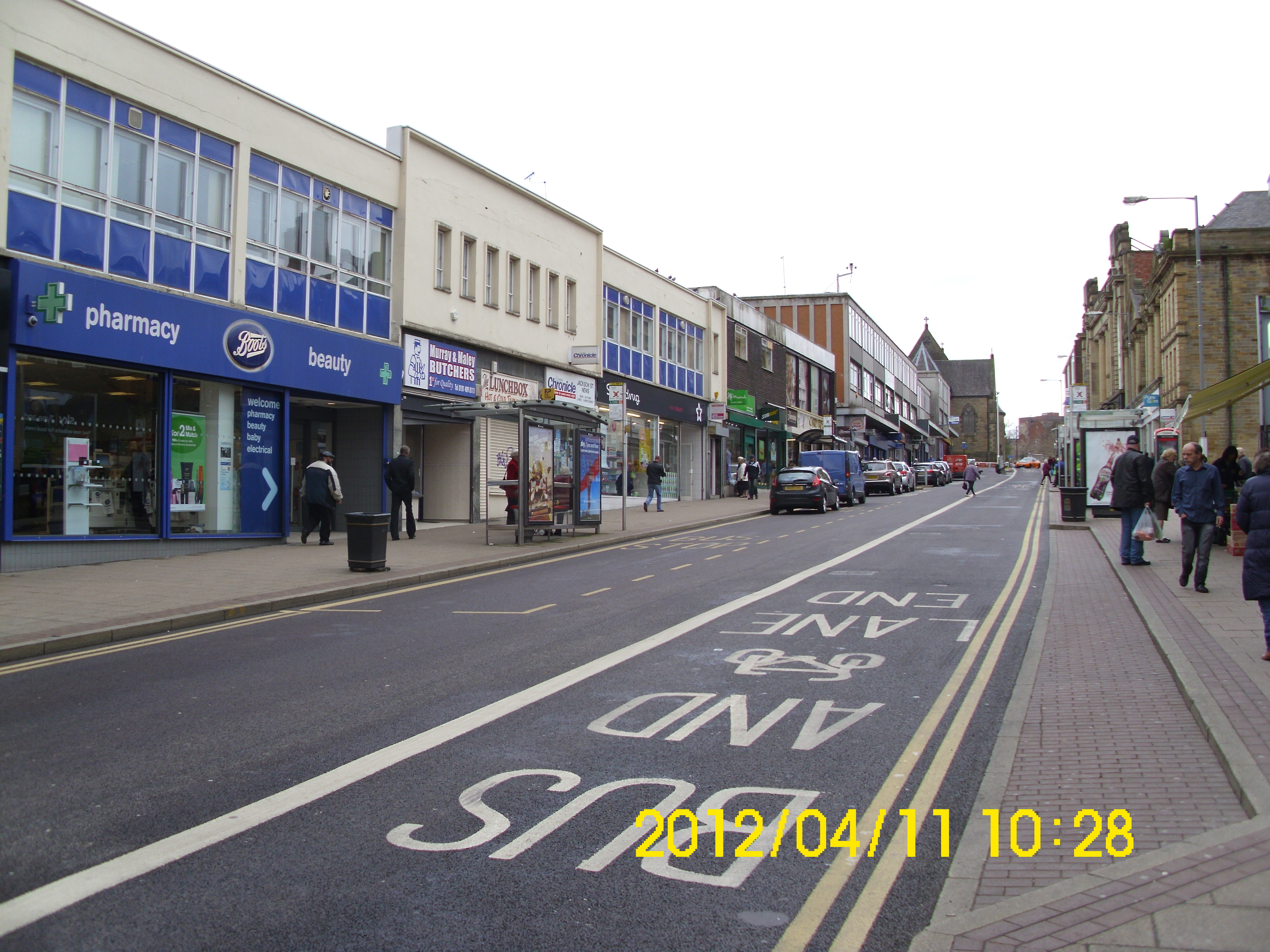
Oldest section clearly visible here.
Doggarts – your old mate Patricia Donnelly’s place of work a long time ago..
View across to M & M – I had Fish, Chips and Mushy peas here this morning.(sit down in cramped cafe) Fish was beautiful.
View west up Jackson St.
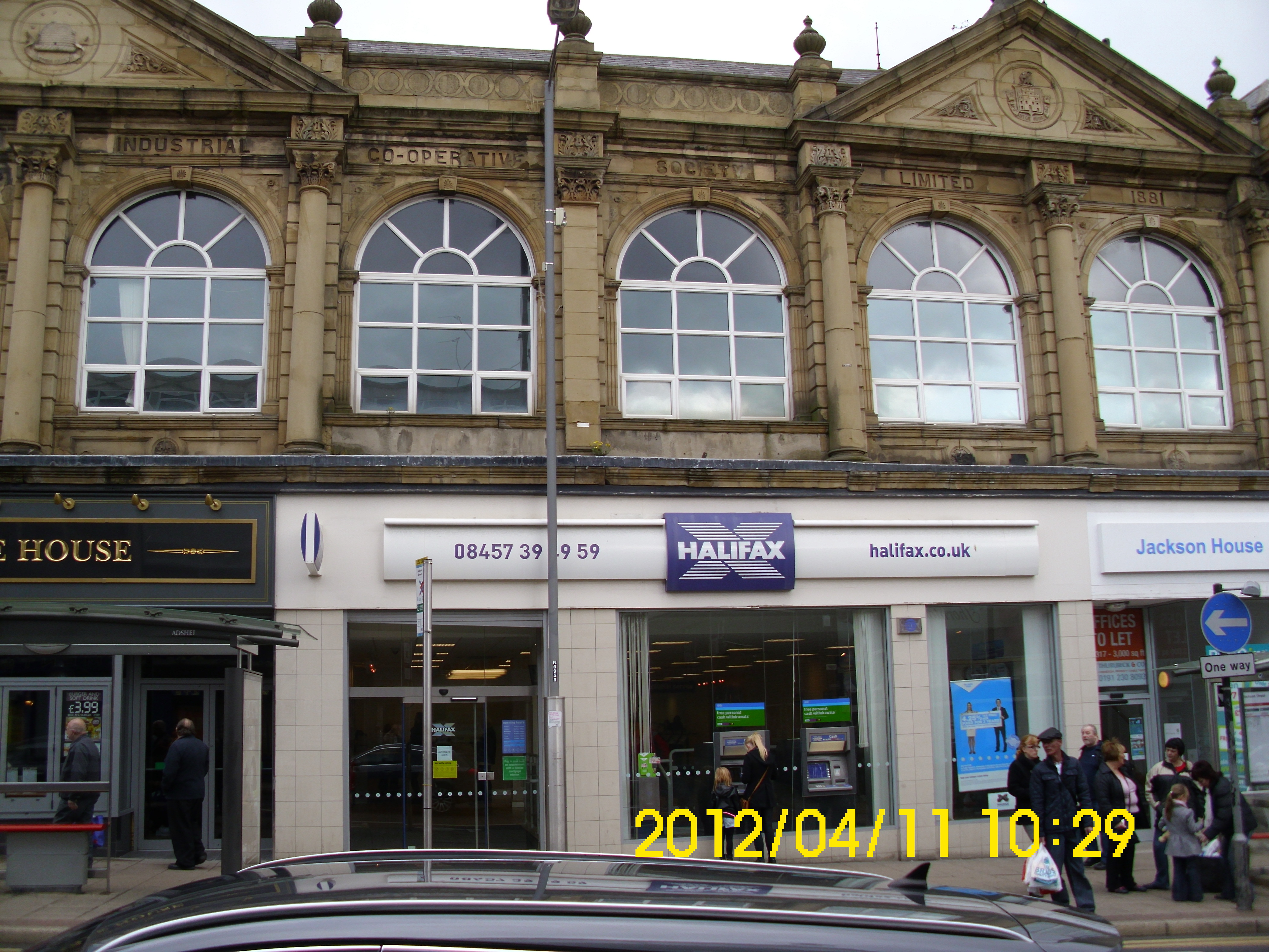
The demise of the Co-op is complete. None of these historic buildings are now occupied by the Co-op.
Ditto.
Ditto.
View east down Jackson St.
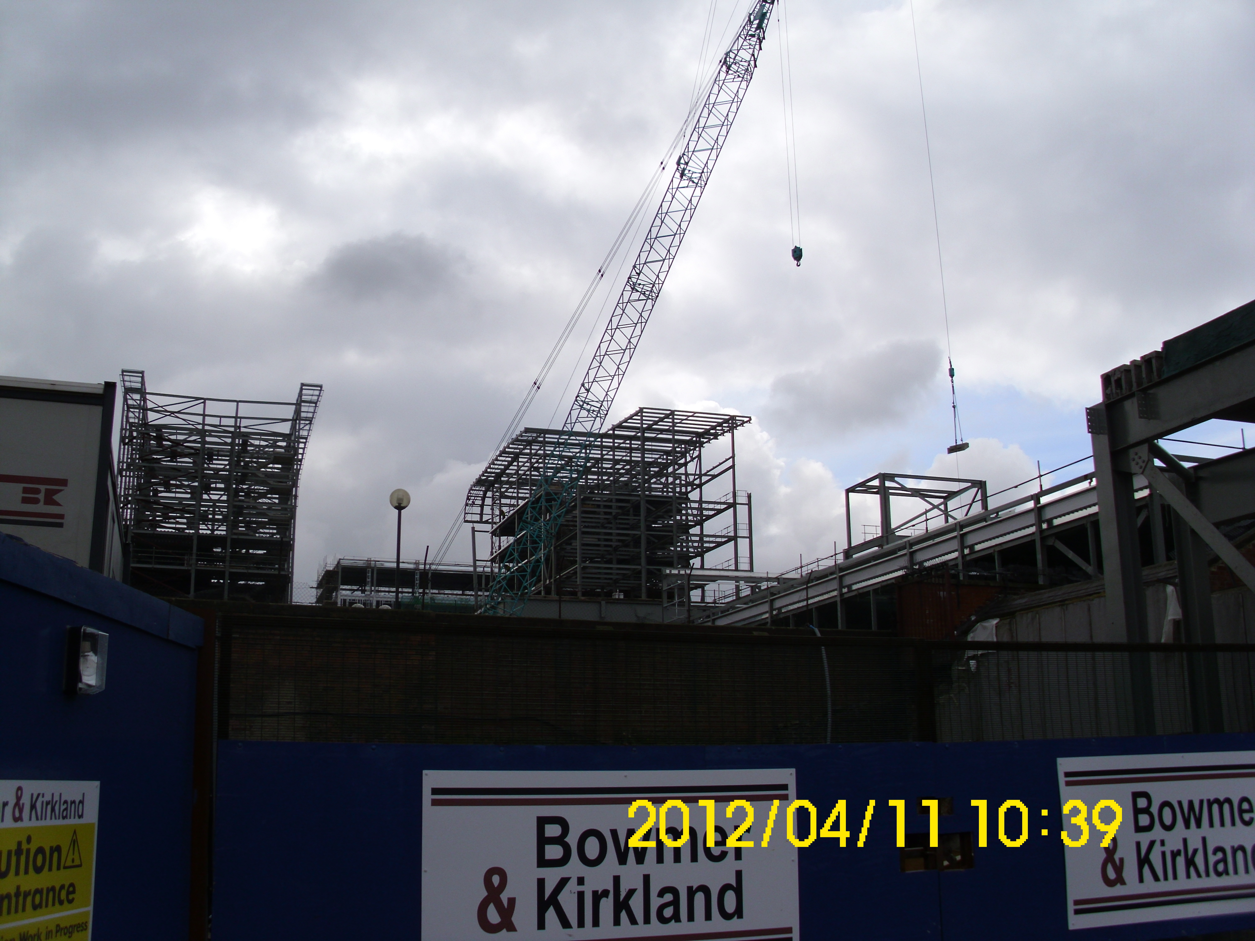
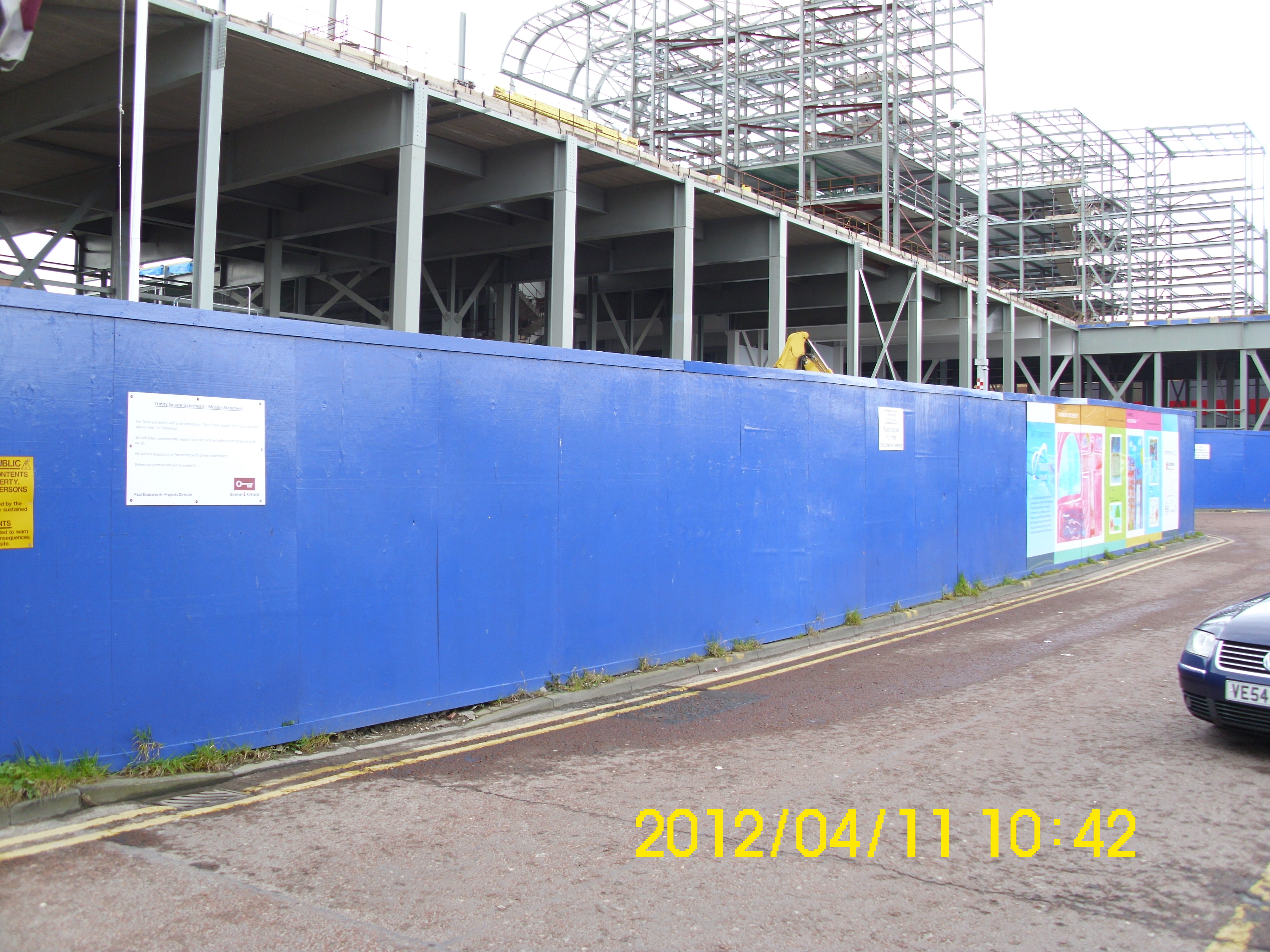
New construction of Trinity Square can clearly be seen here.
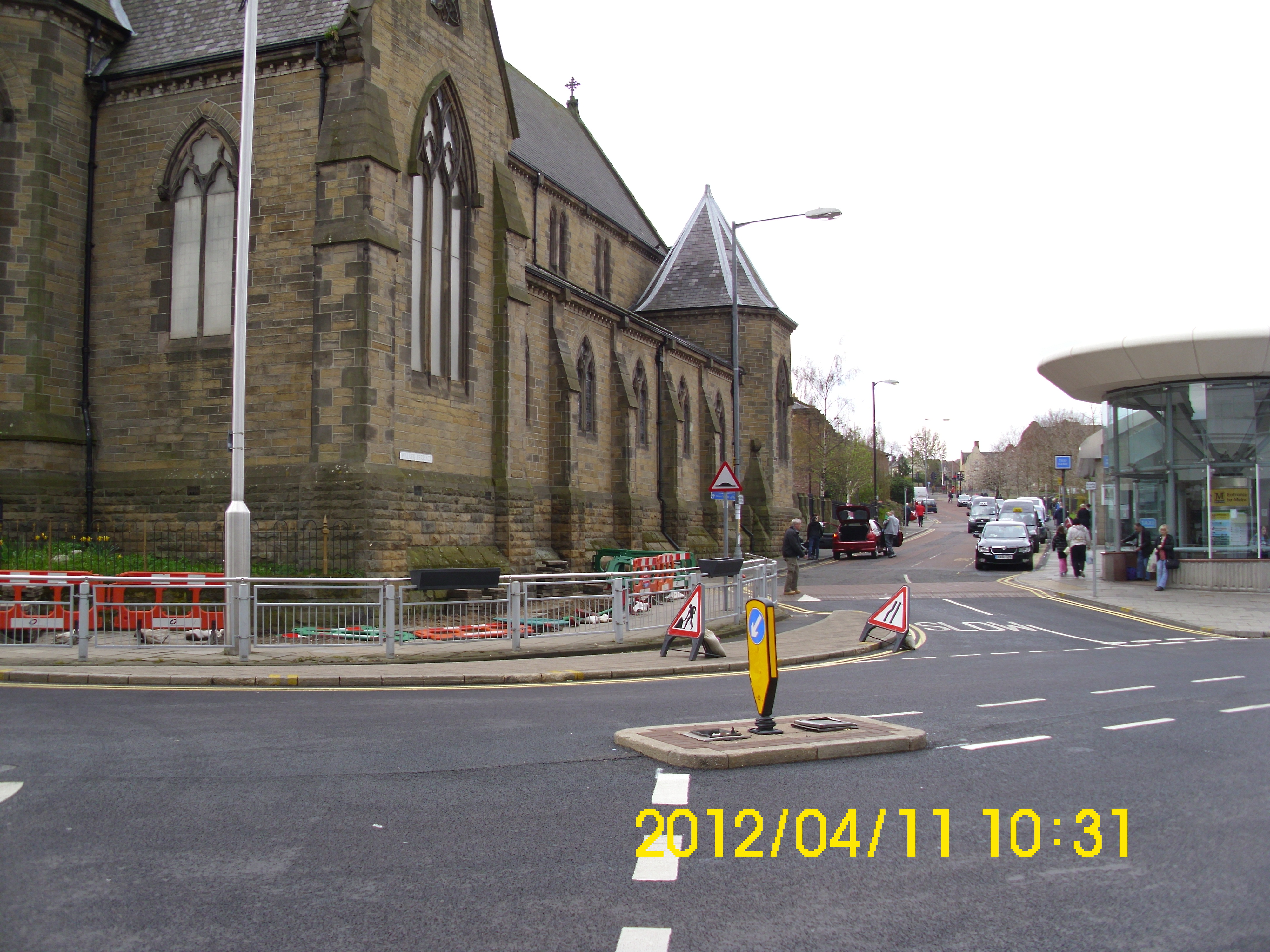
Corner of St.Joseph’s Church.
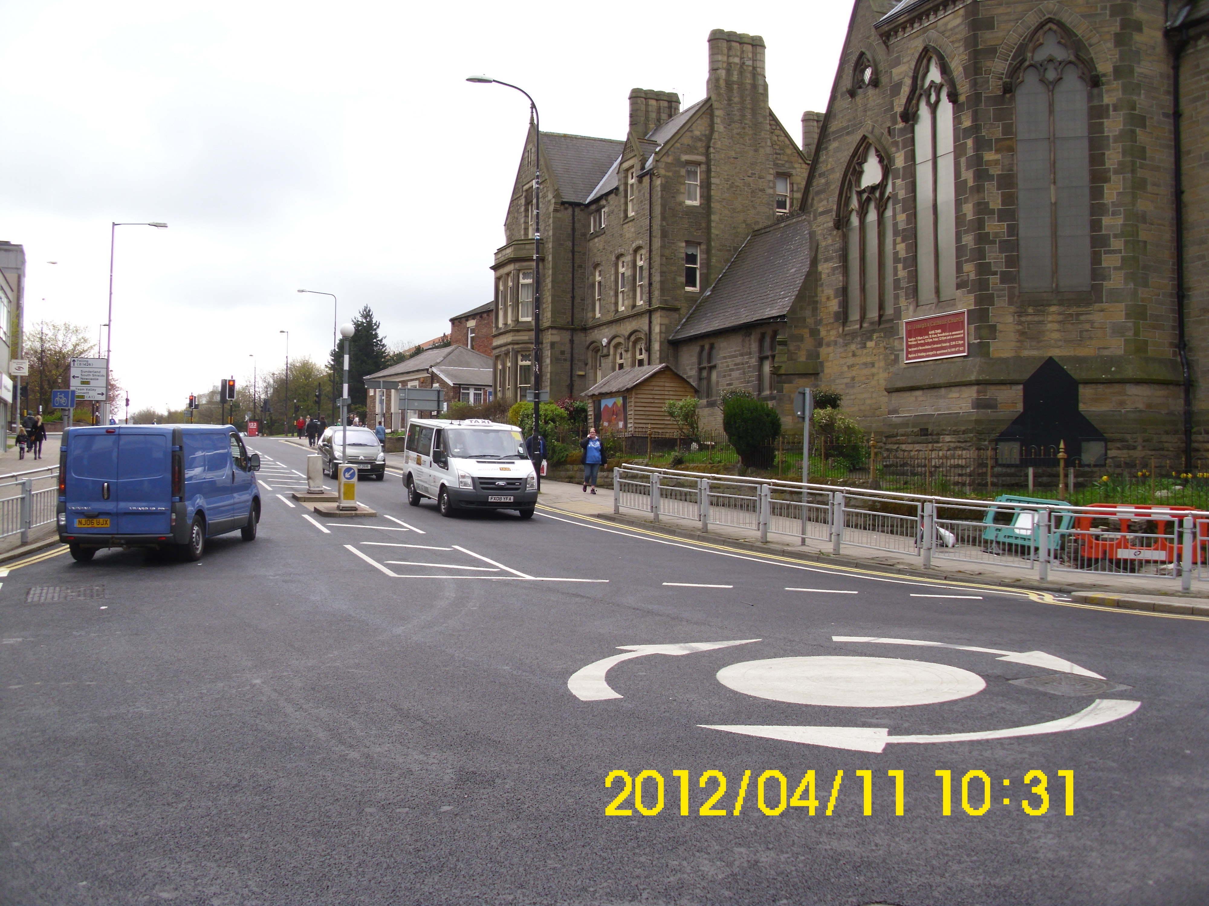
View of Church and High West St.
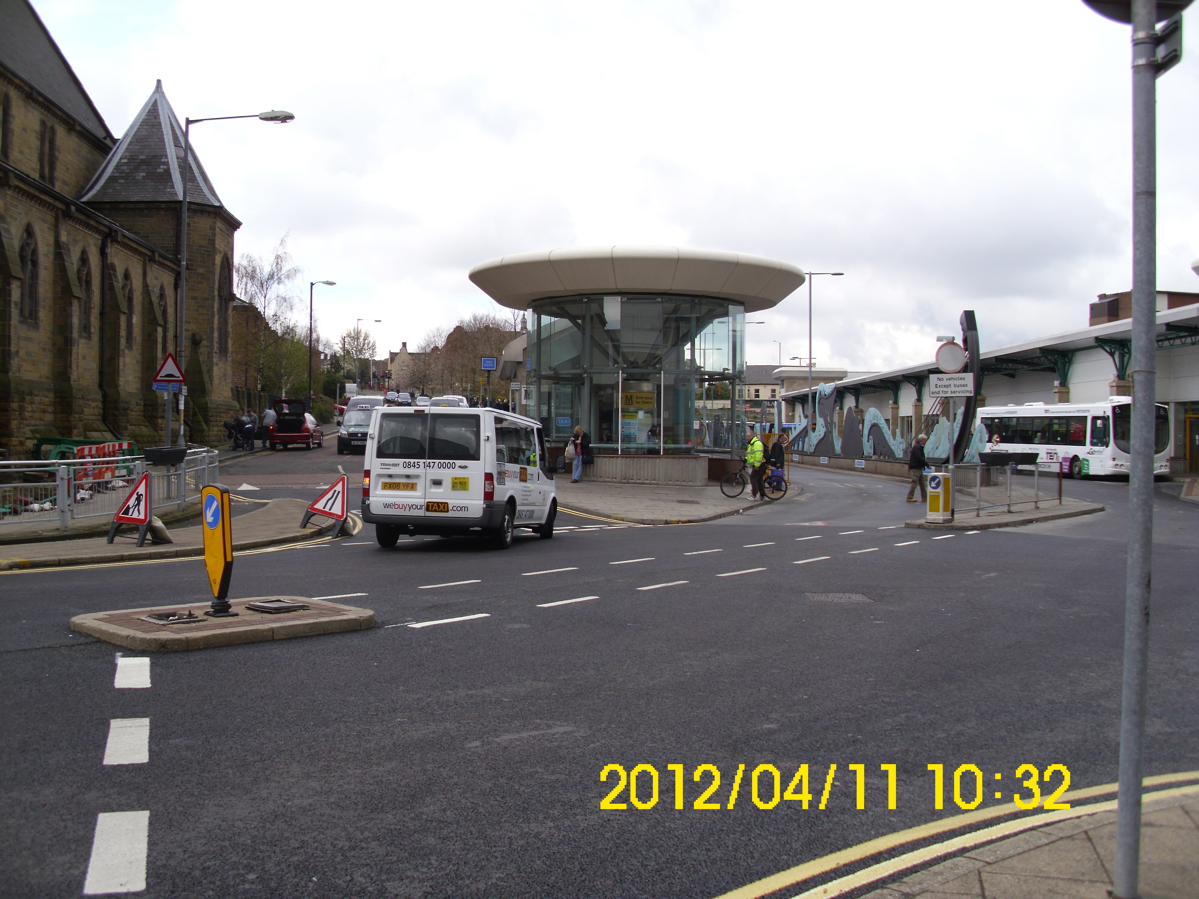
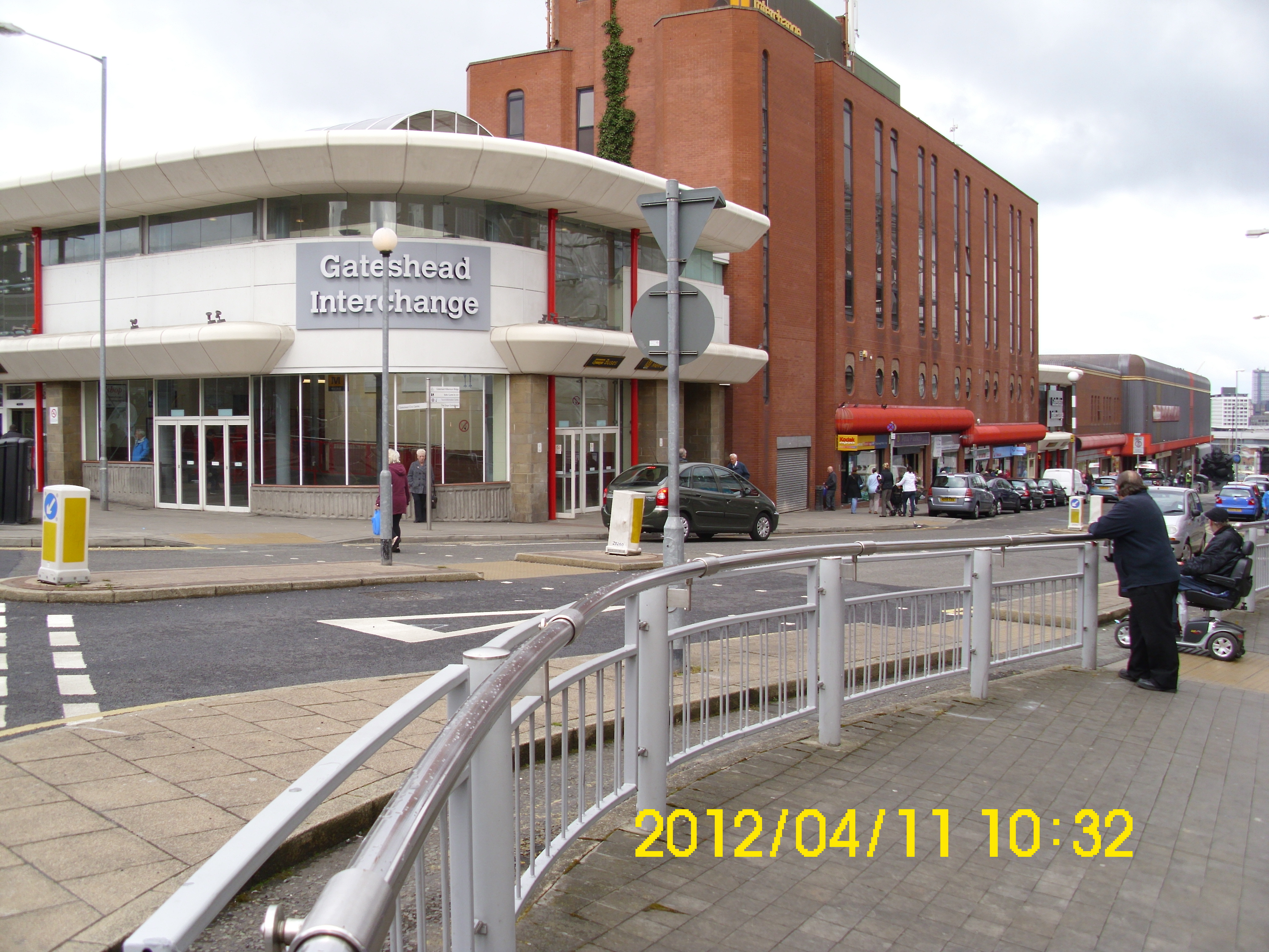
Church and Metro Interchange.
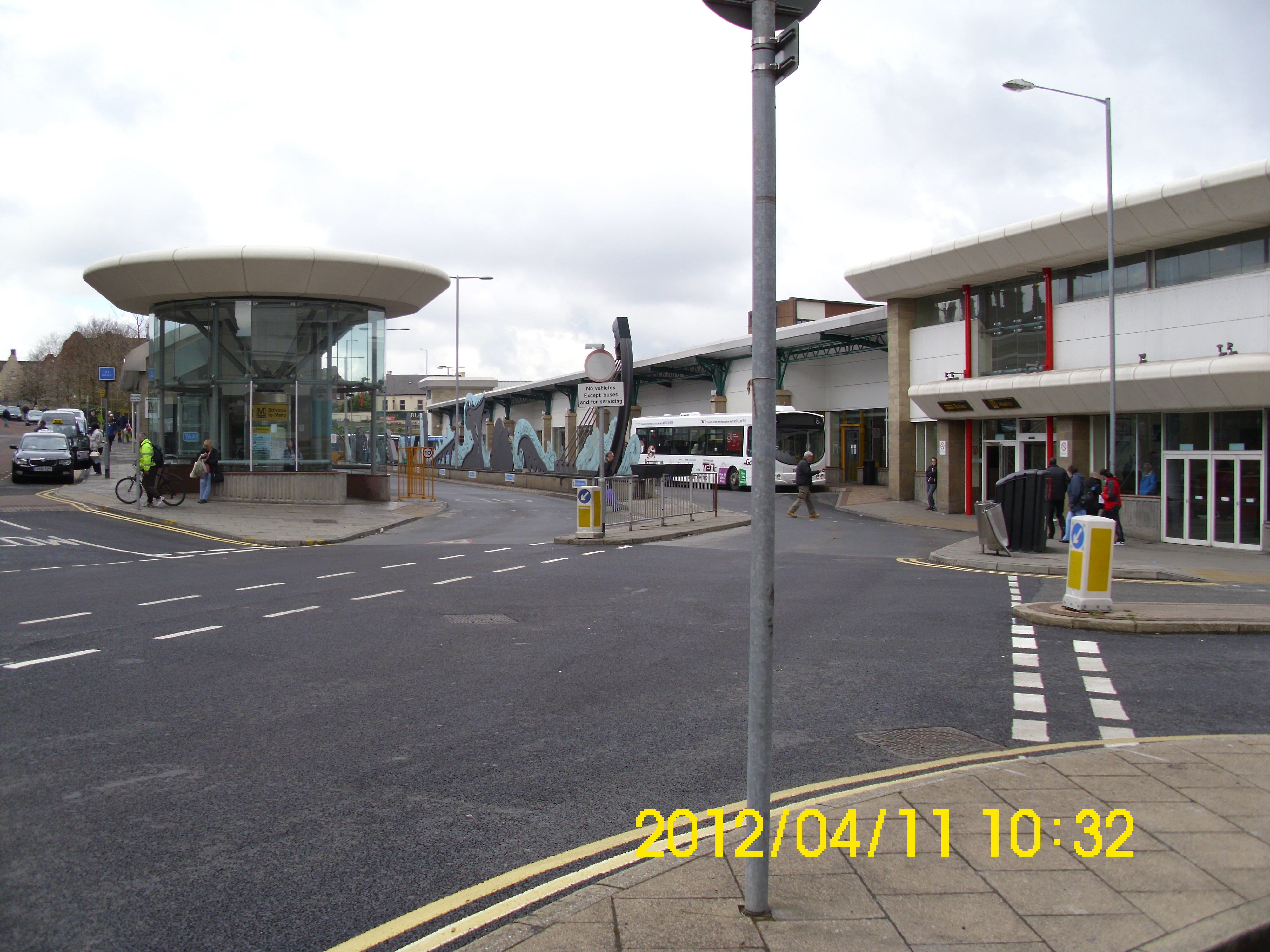
Metro Interchange
Ditto and looking south down towards Newcastle.
Ditto.
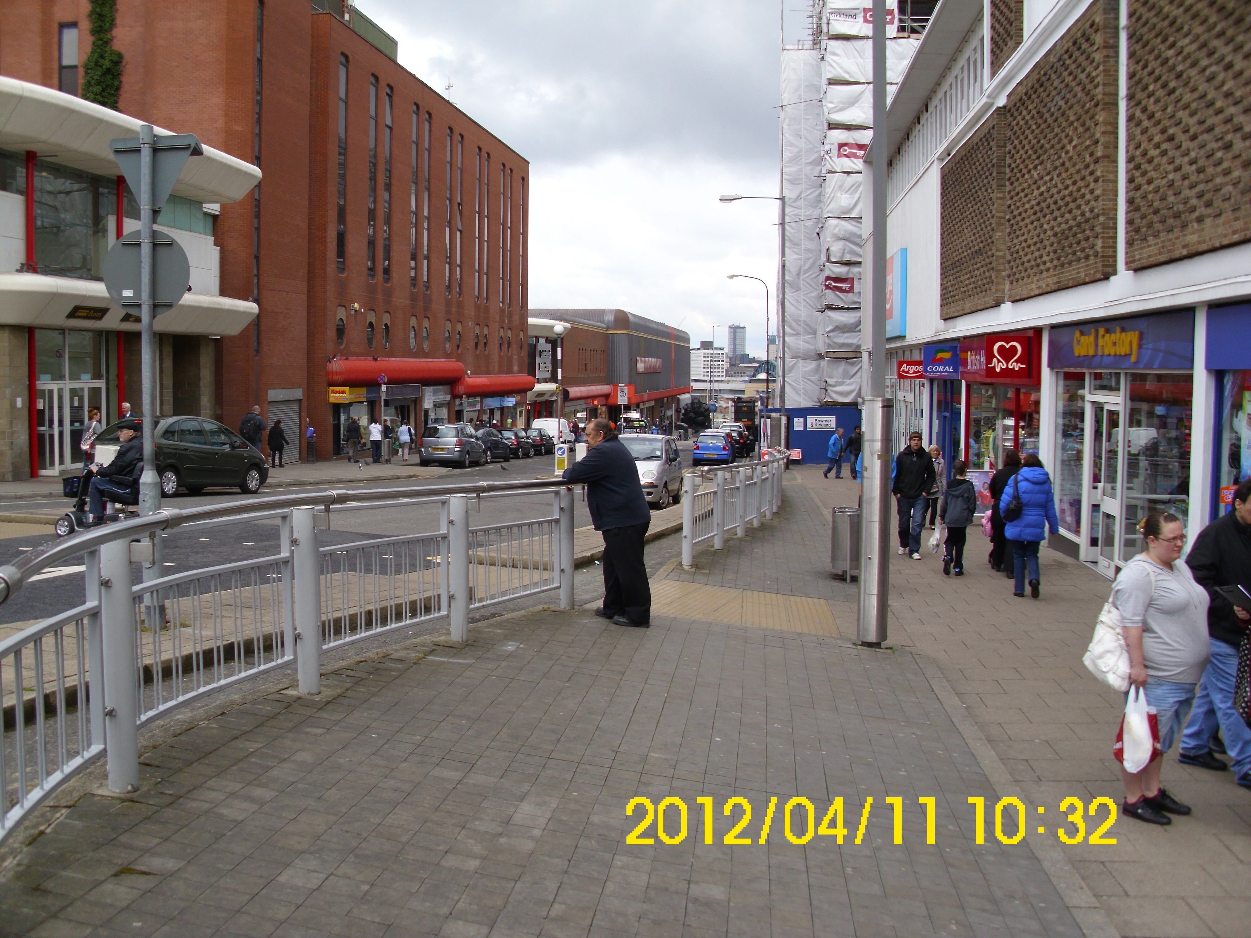
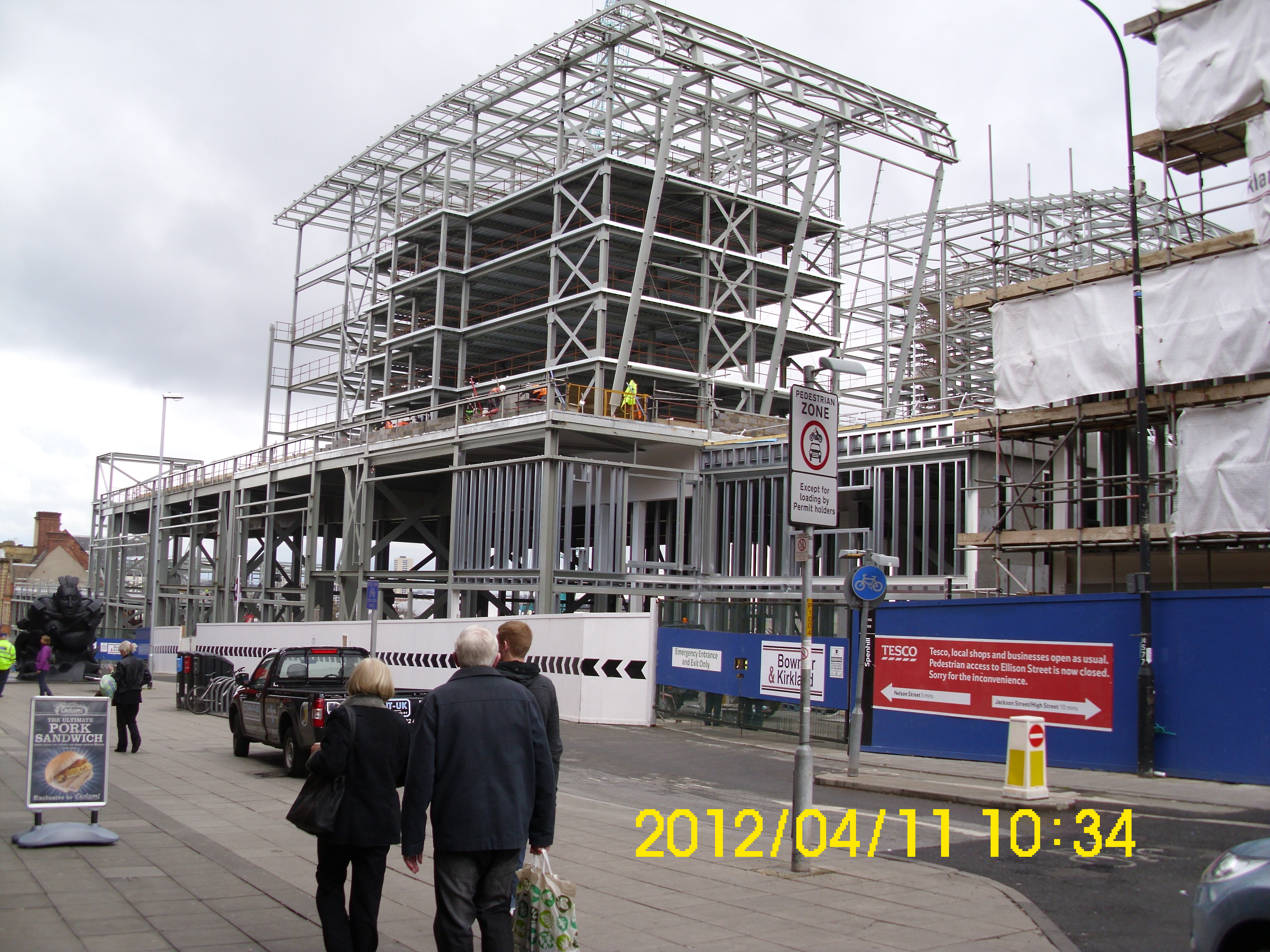
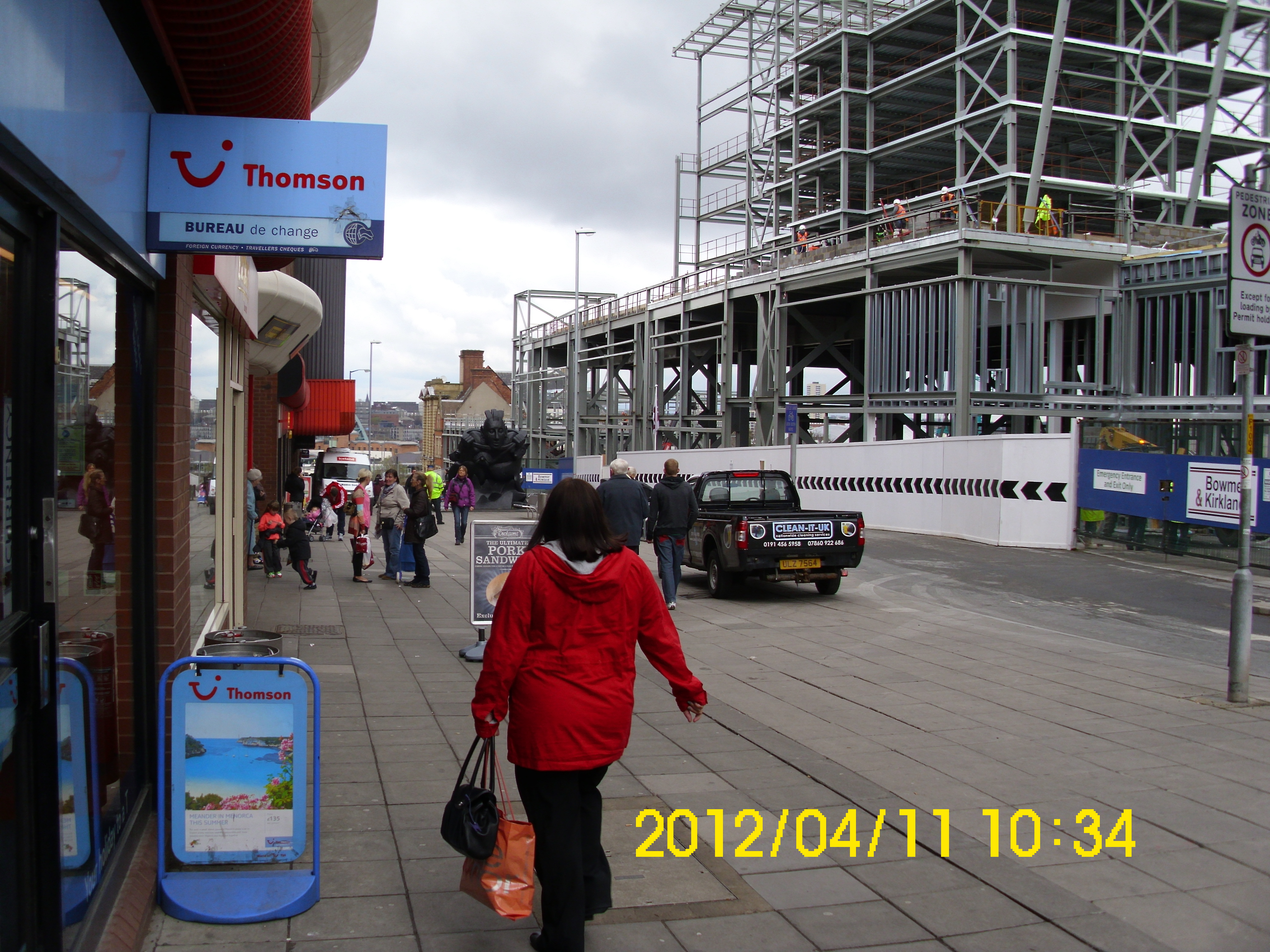
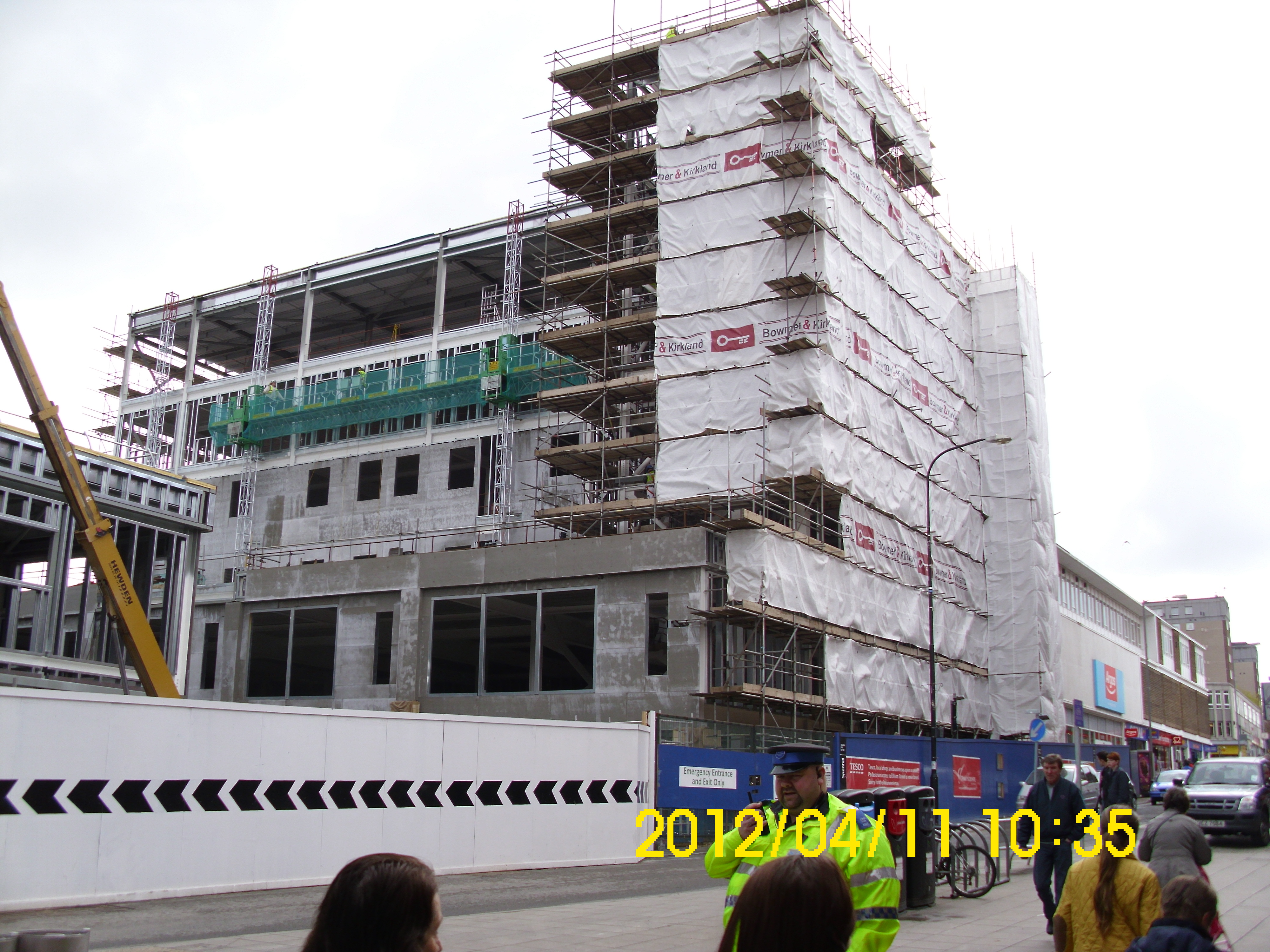
Across the road now, and looking at new construction on site of ‘Get Carter’ film.
Straight down West St., good view of Tyne Bridge.
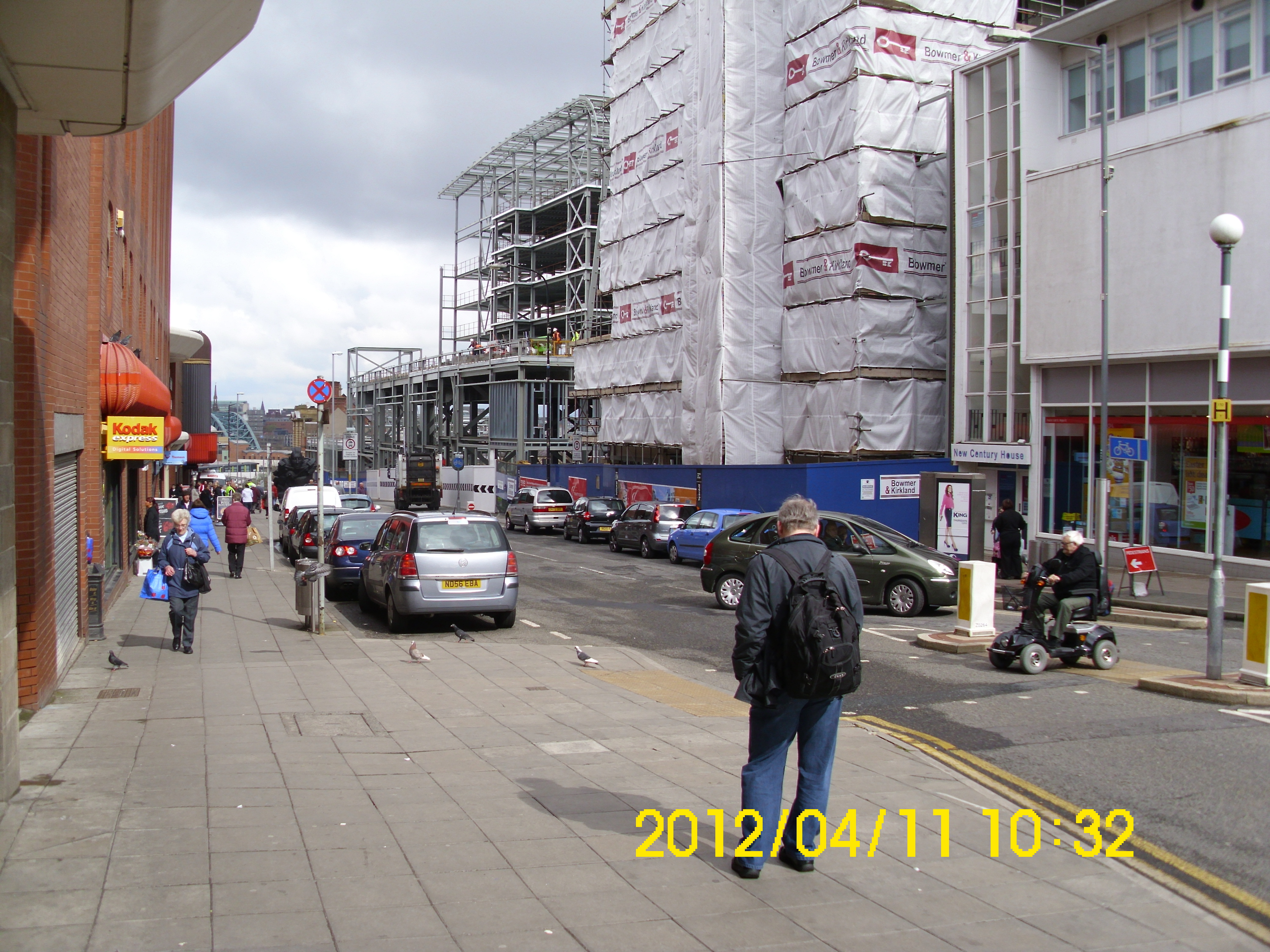
Is this going to be another ‘White Eliphant’ I wonder?
It’s certainly big enough.
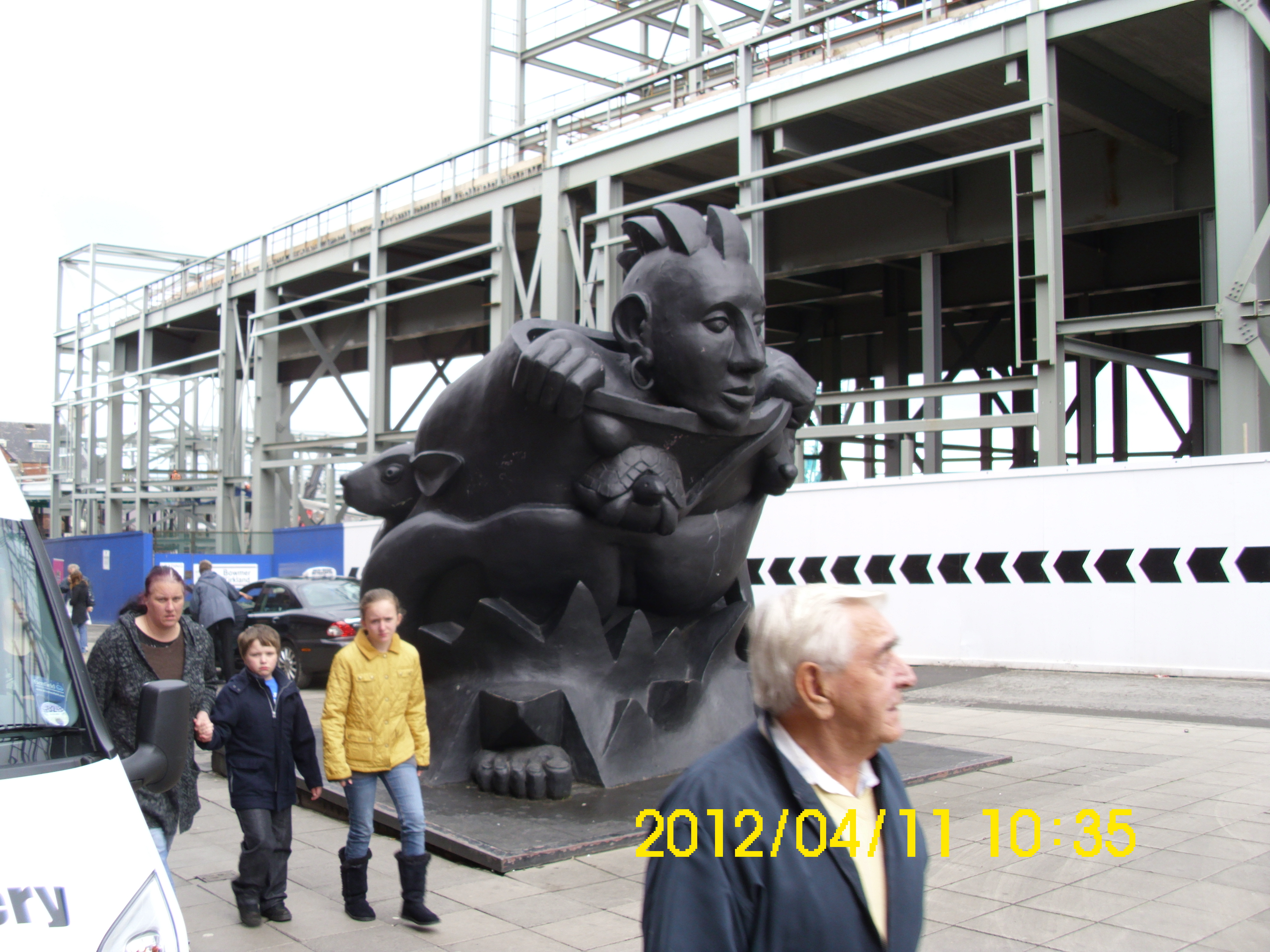
Wow!
Who left that there?
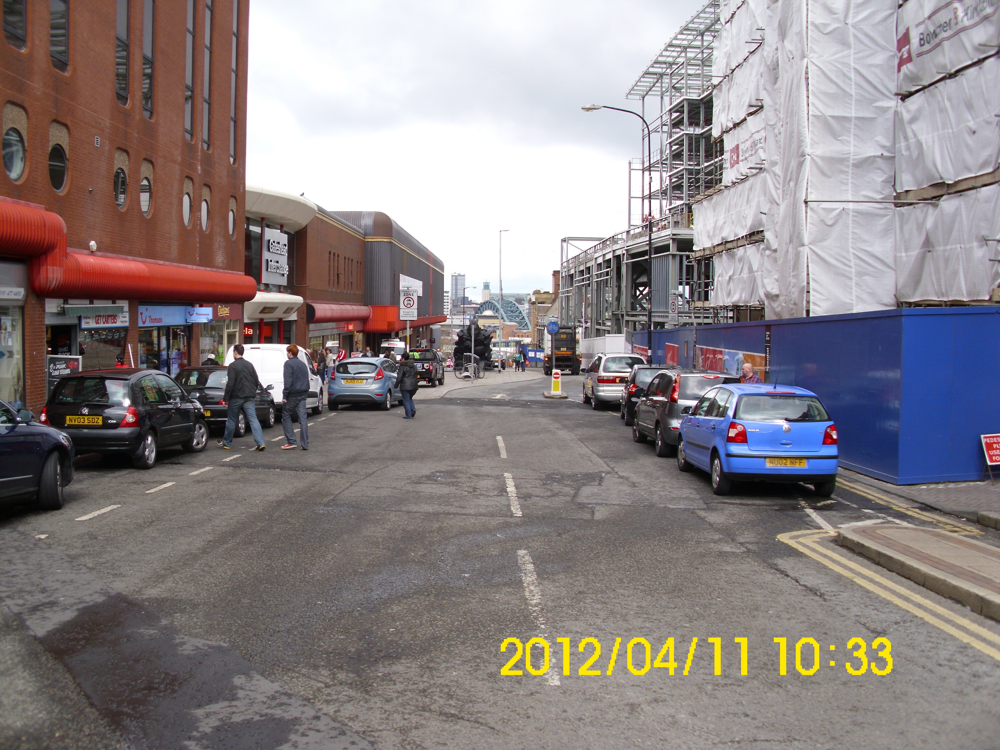
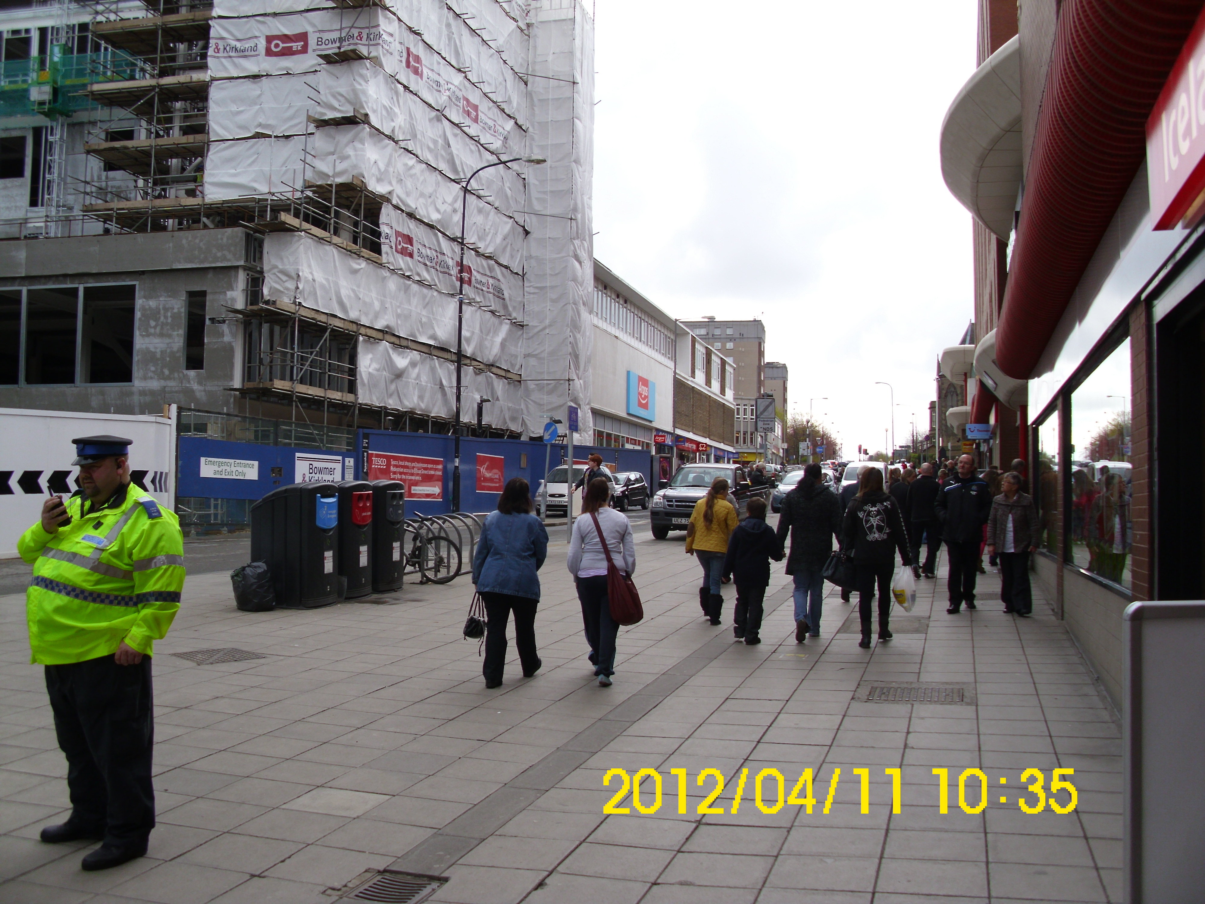
See how new building abuts 60’s Coo-op building.
Ditto
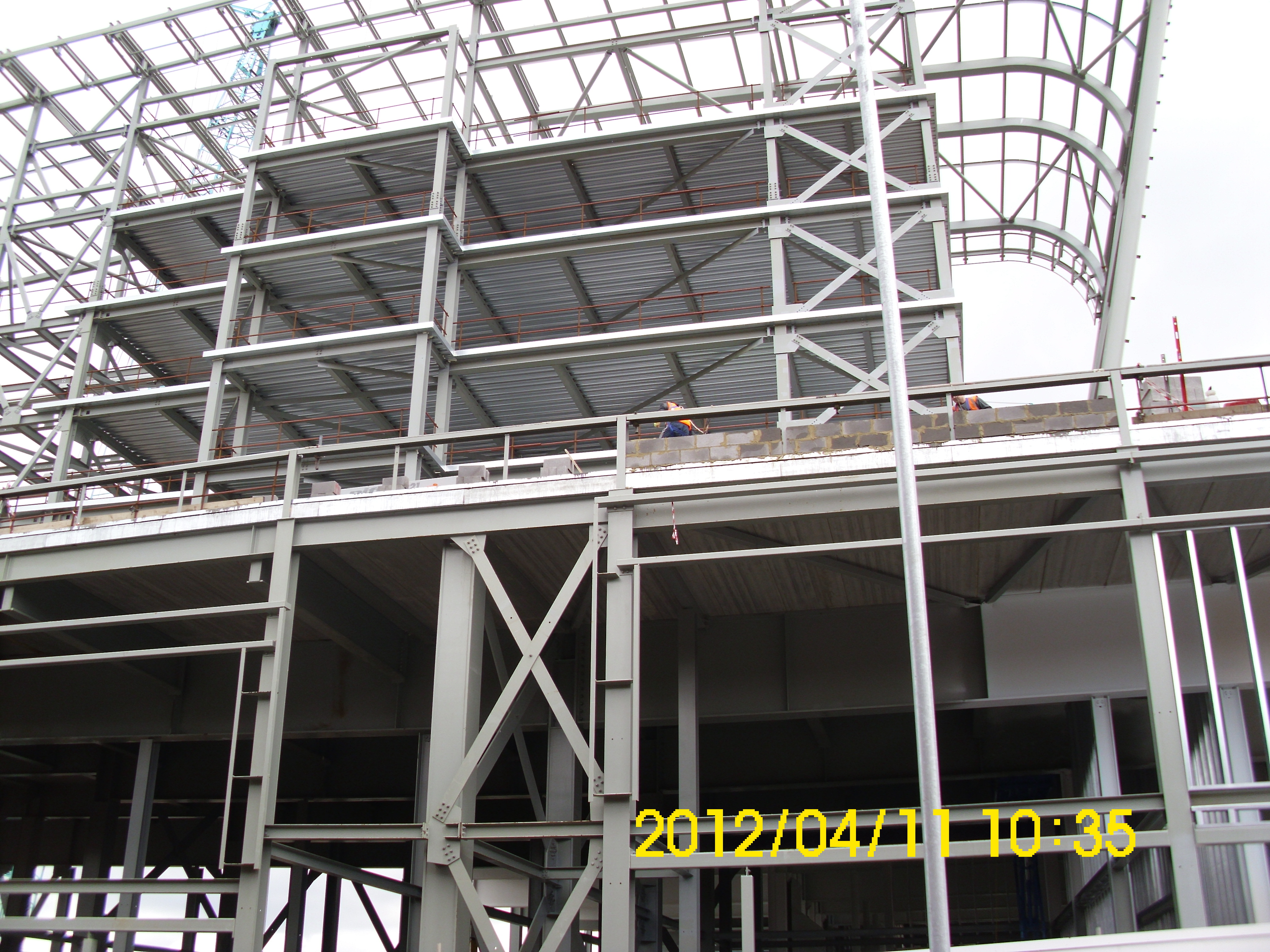
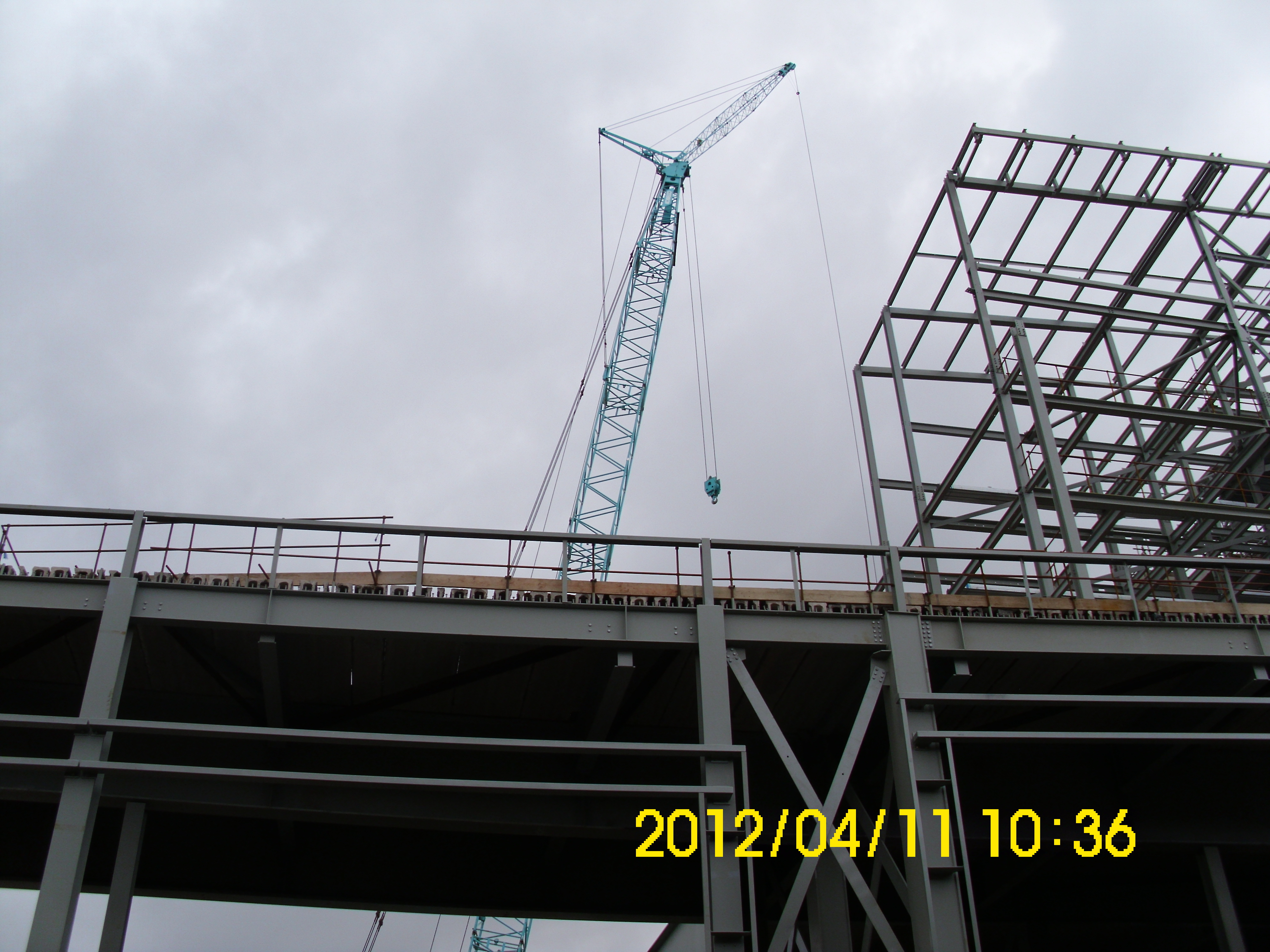
One of the large cranes on the site.
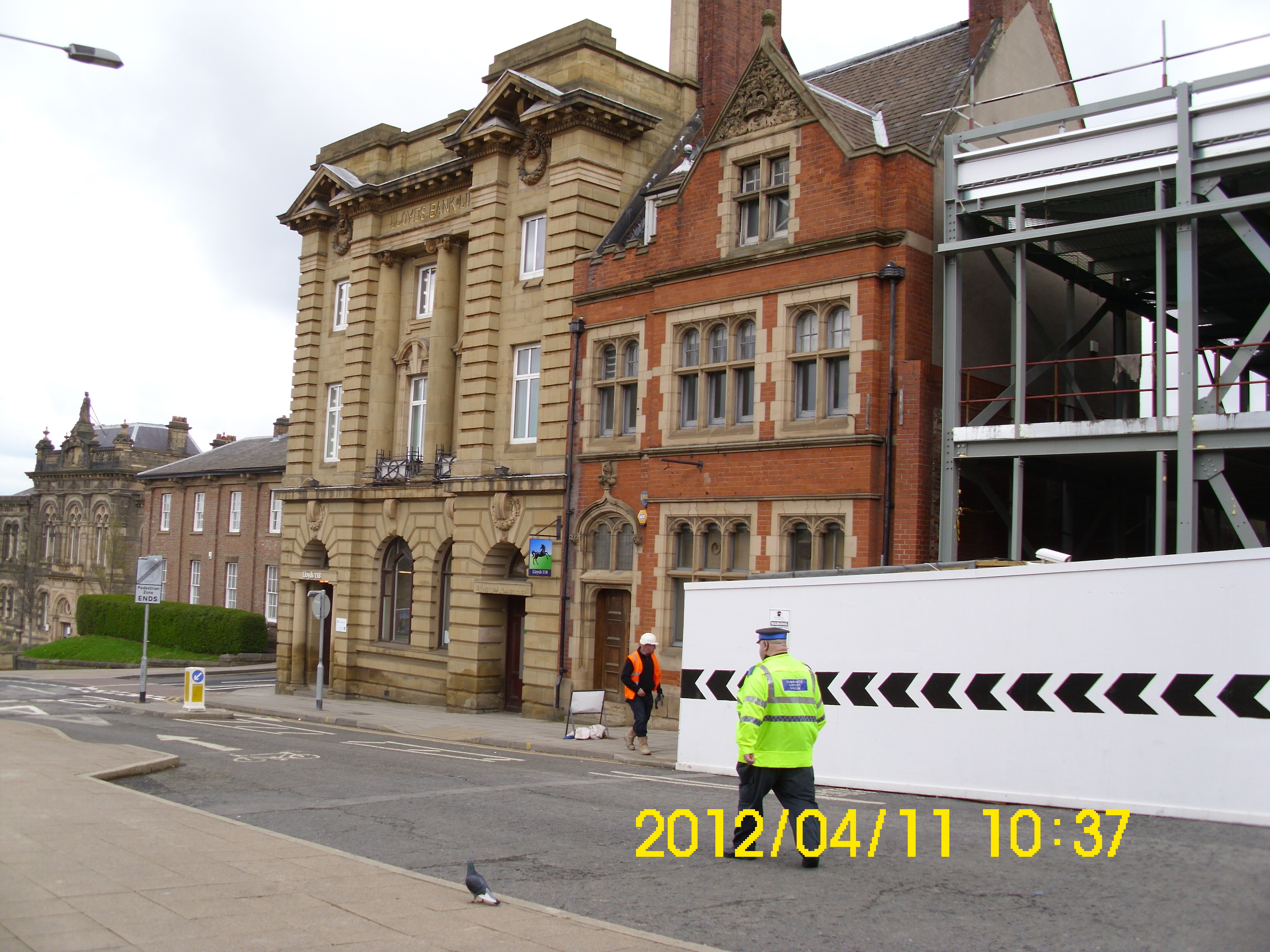
This man is determined to get into all my pics. Old Post Office and Lloyds buildings still there.
Panoramic view of bottom of West St.
Now slighly west.
More west. Bit of Last block of Barn’s Close flats clearly visible.
Last Block.
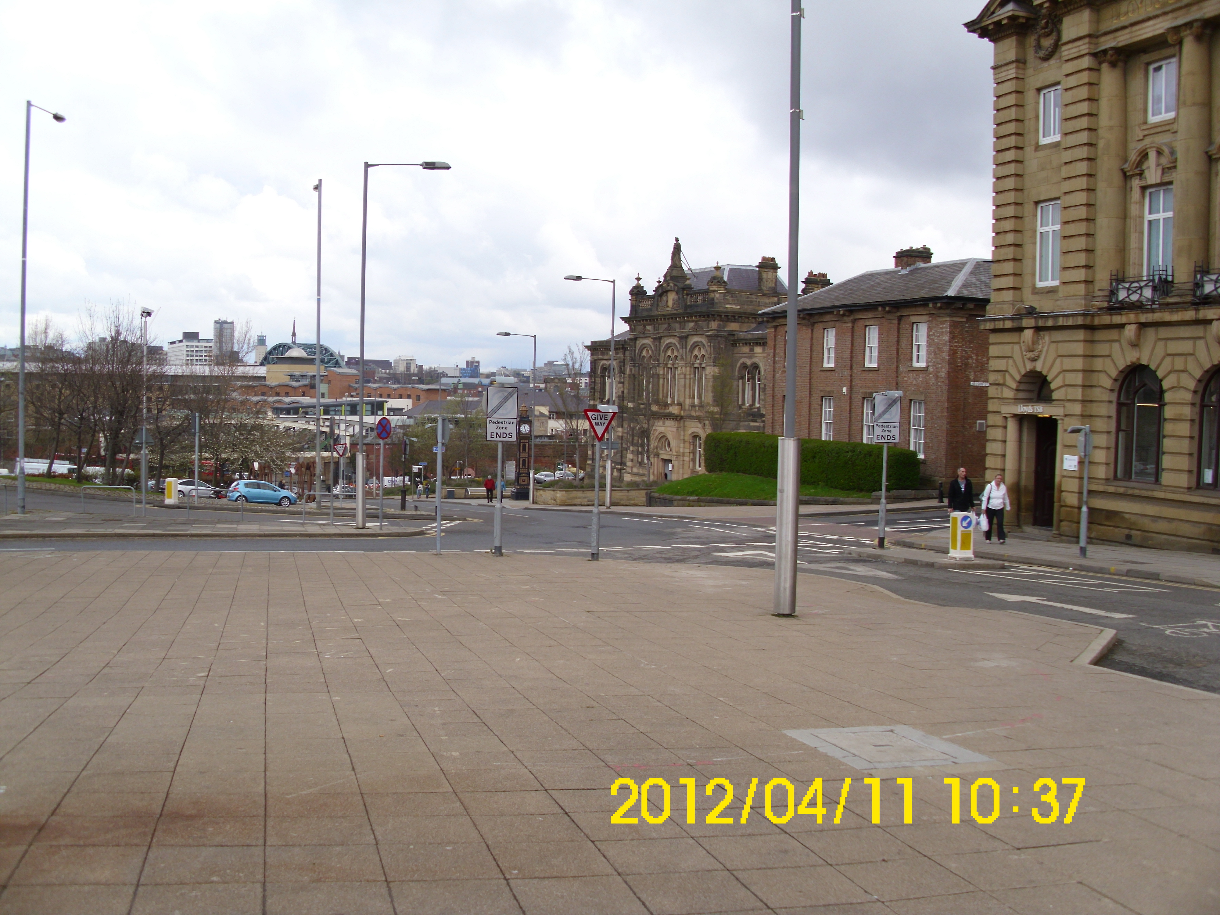
Back view of old Town Hall. (and cop station)
View back along showing old Rent Office.
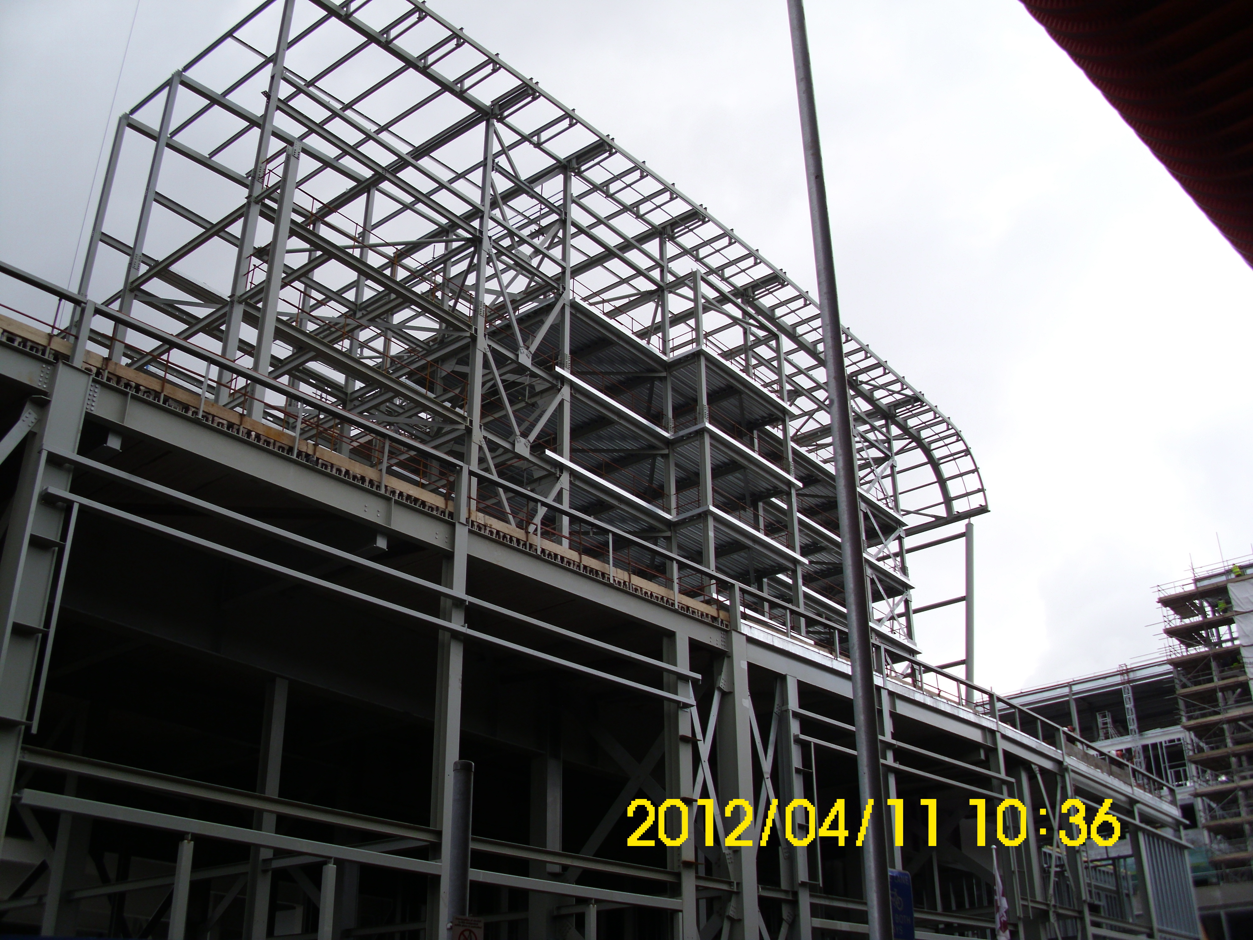
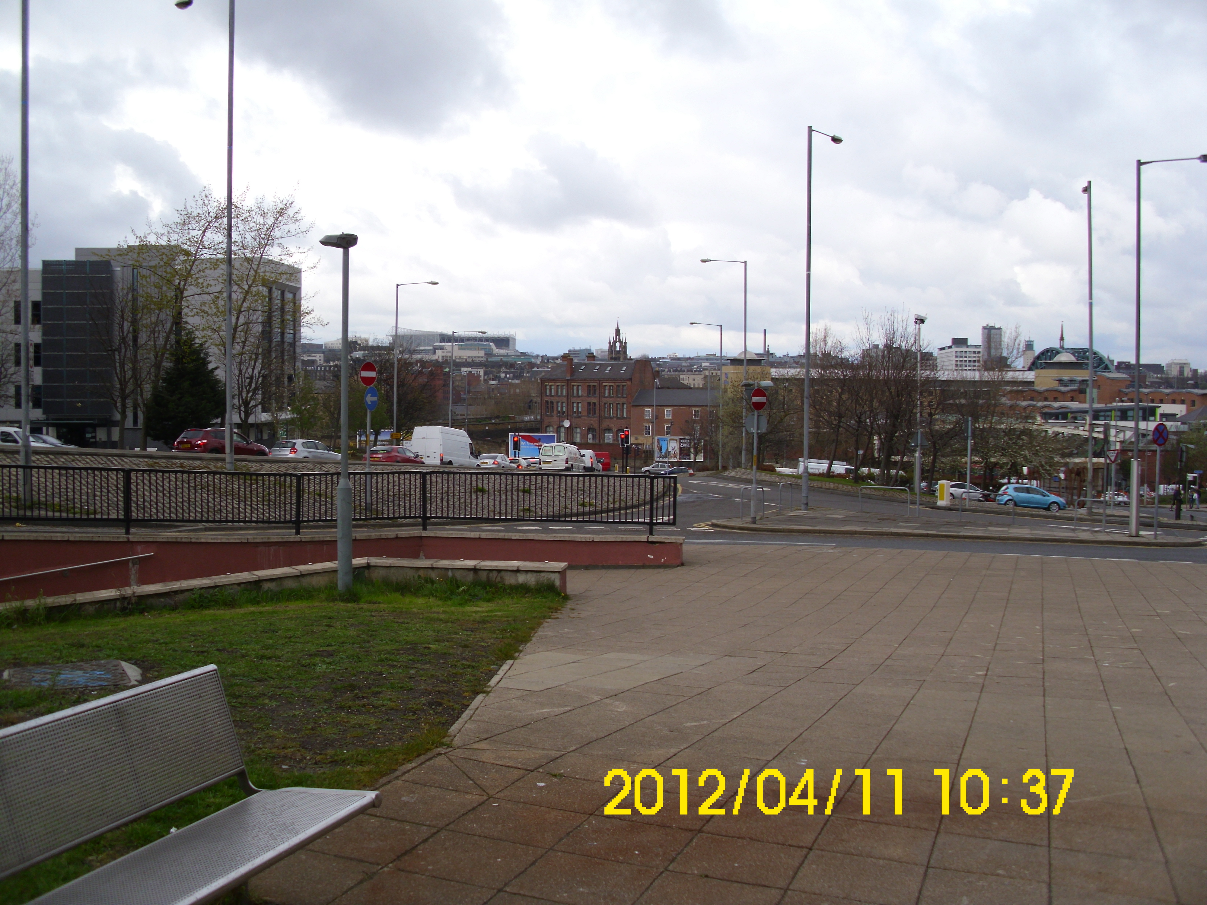
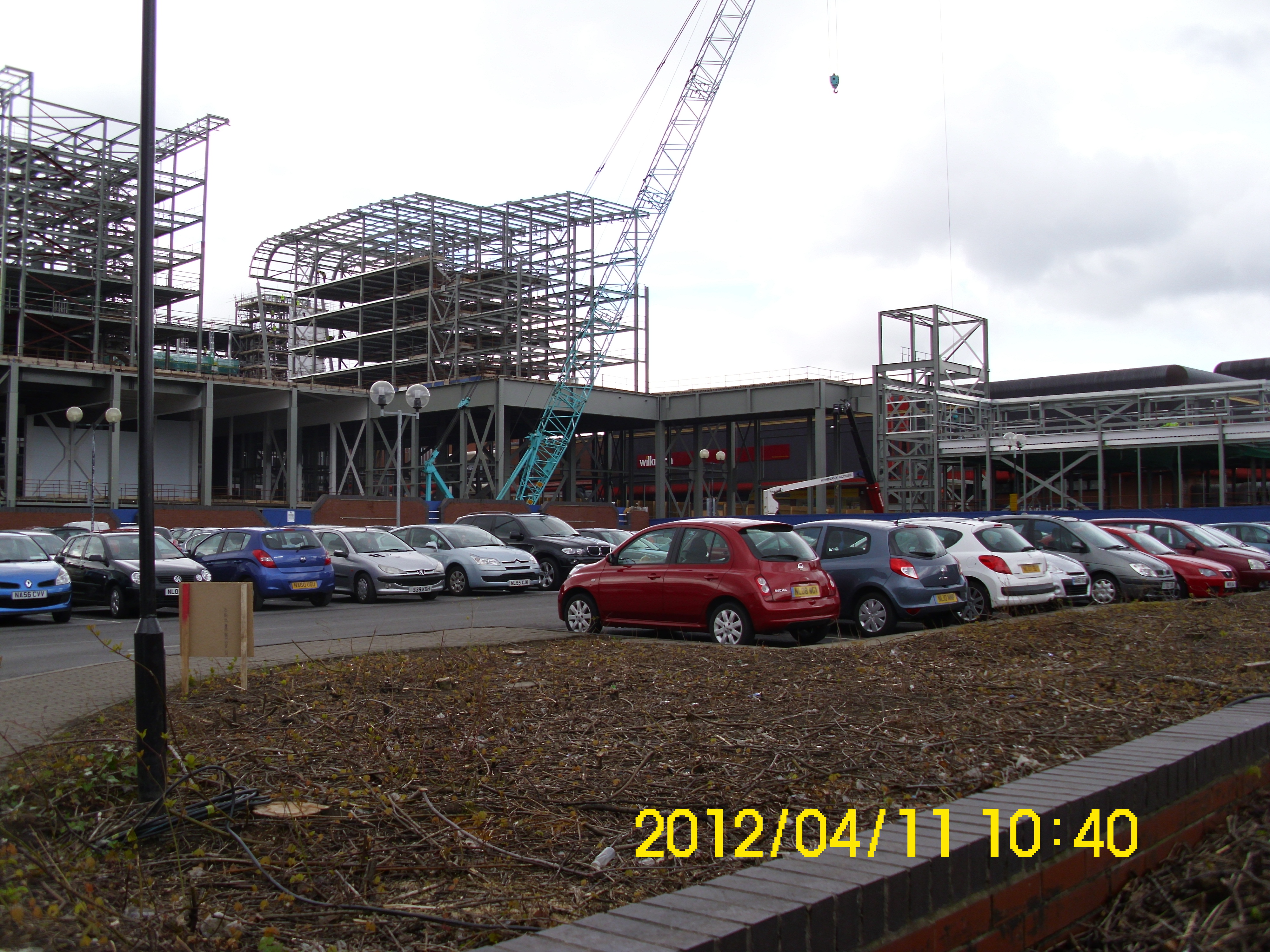
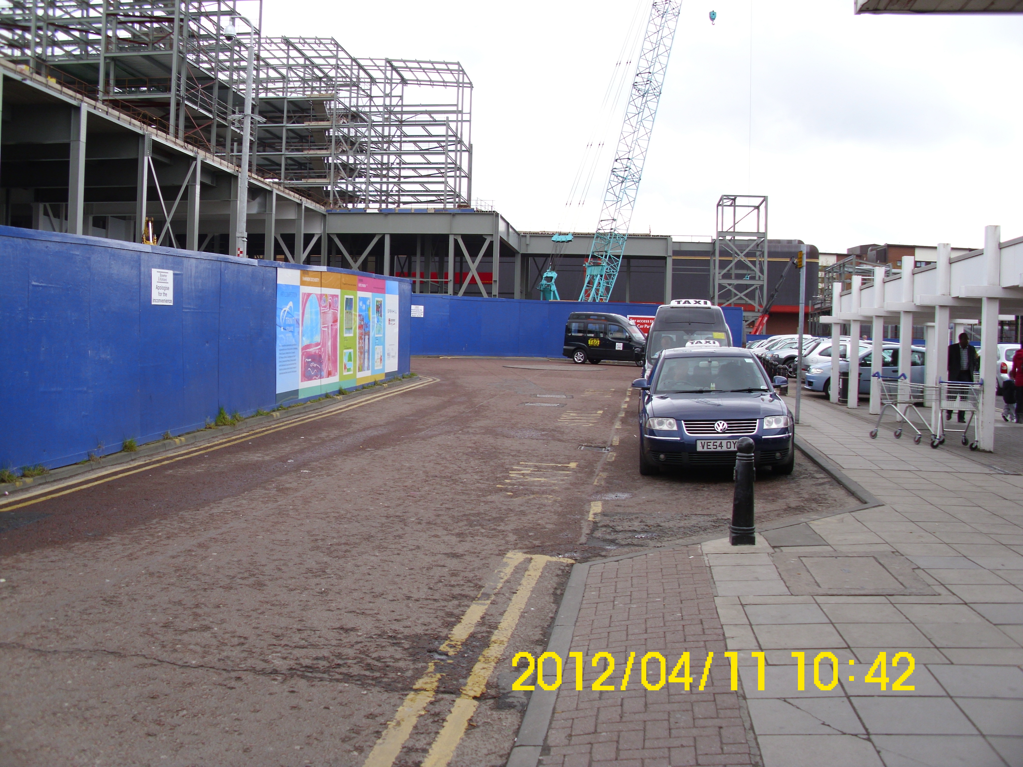
View south of new construction
View SW of new construction.
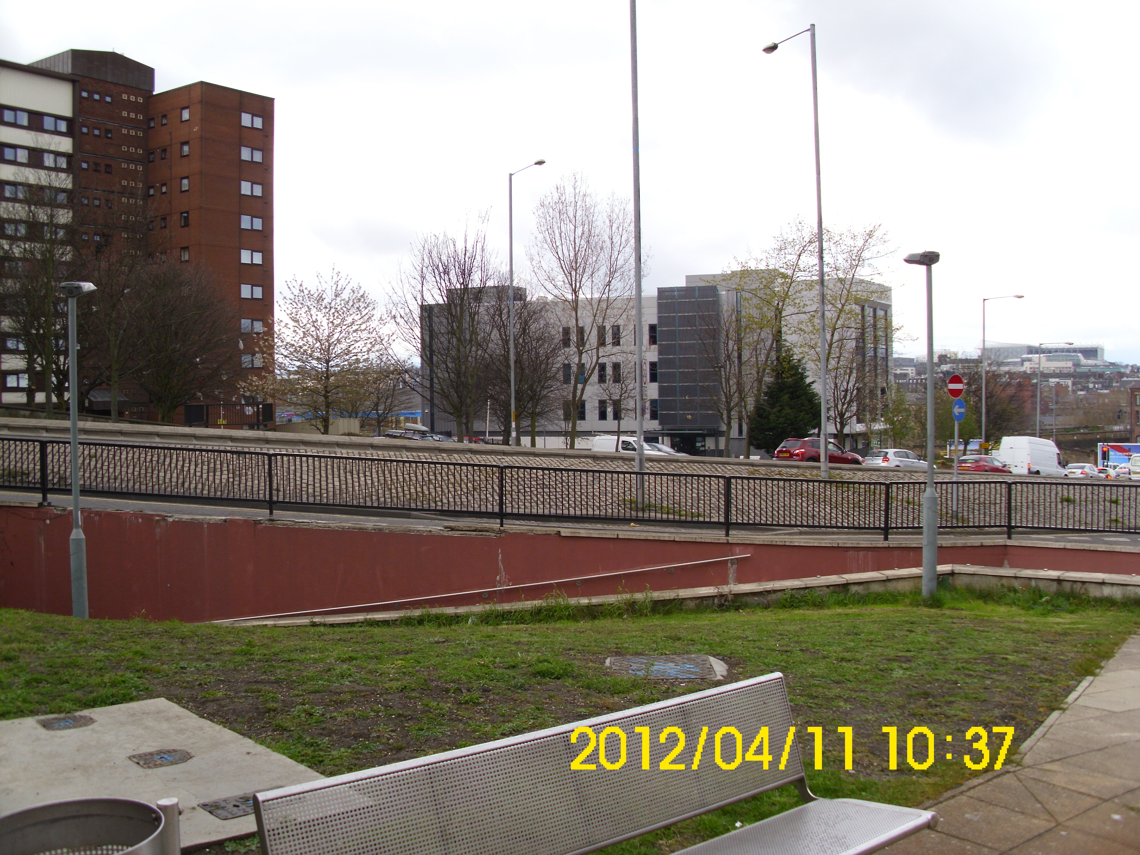
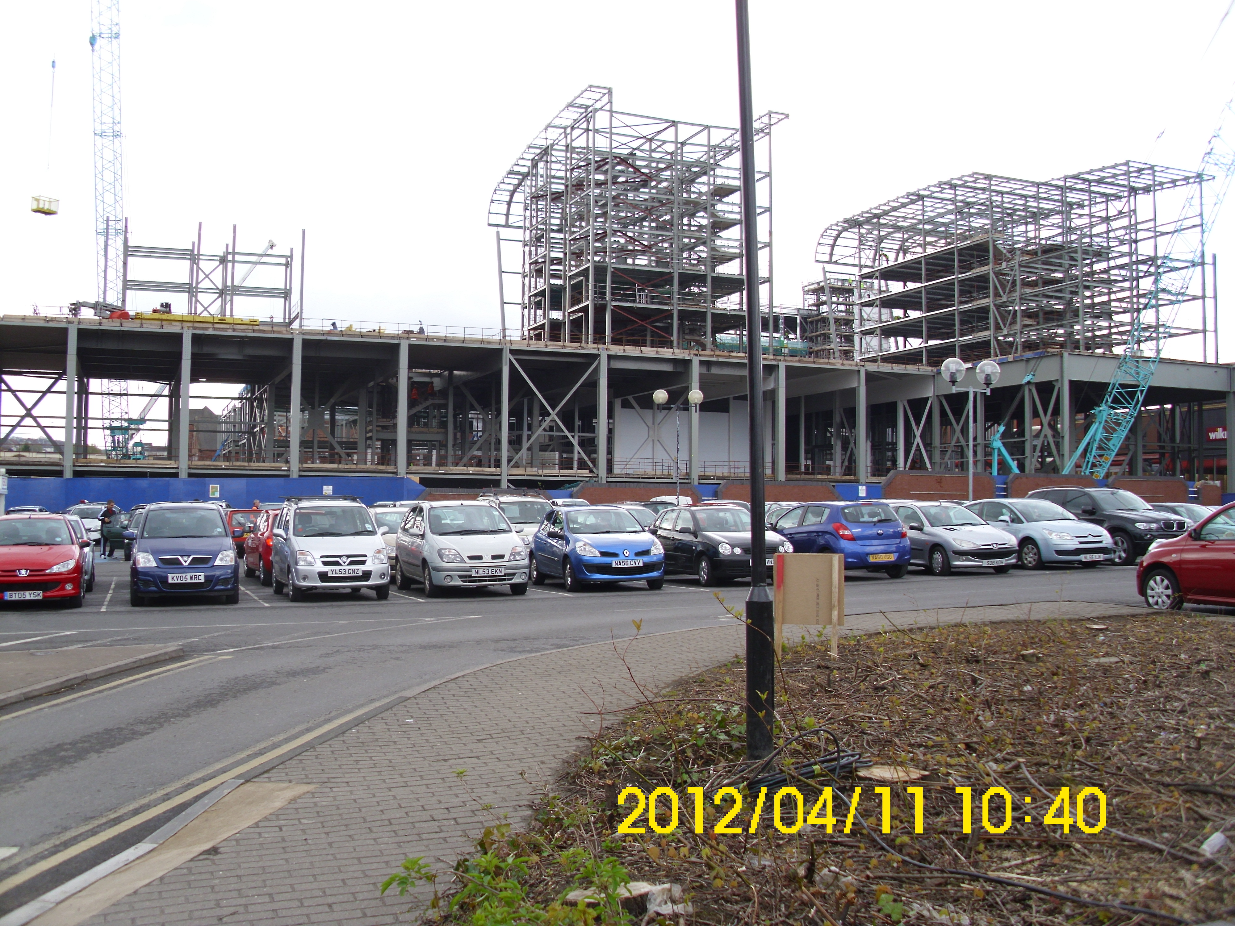
Another view south.
Ditto.
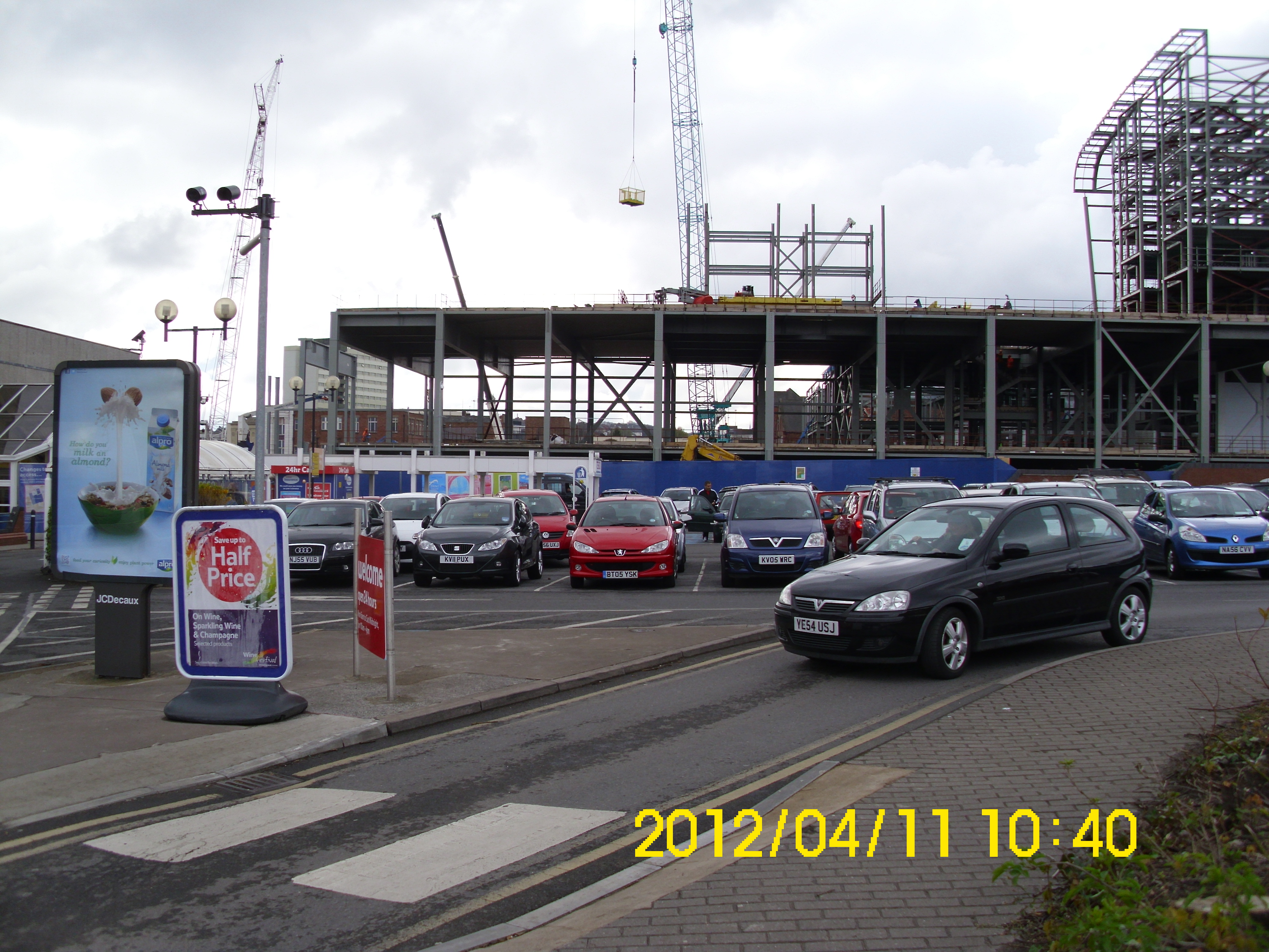
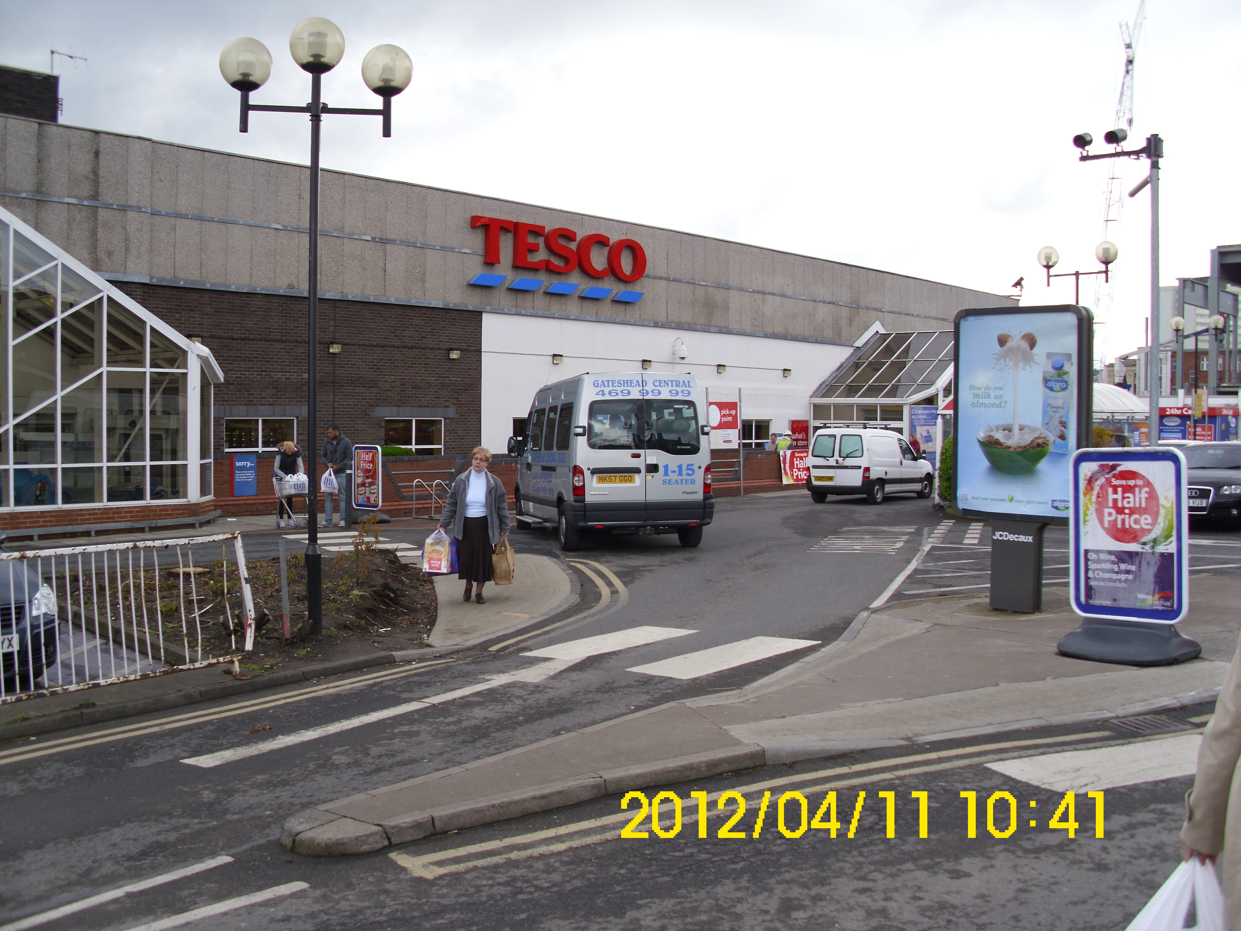
Back view of Tesco’s on site at junction of Ellison St., and High St
View east to High St., from all that is accessible of Ellison St.
View west along Ellison St from same position as above.
God, it’s so dreary. I was almost pleased the batteries in my camera gave up at this point.
Printable version of annotated map.
Annotated Map.
An interesting article on the state of affairs during my early life in Gateshead.
20th Century Gateshead
A short film of activities, together with Jimmy Nail singing ‘Big River’. Watch on YouTube Big River
